Upload images
Allowed image types are jpeg,png,gif
Max file size is 20MB
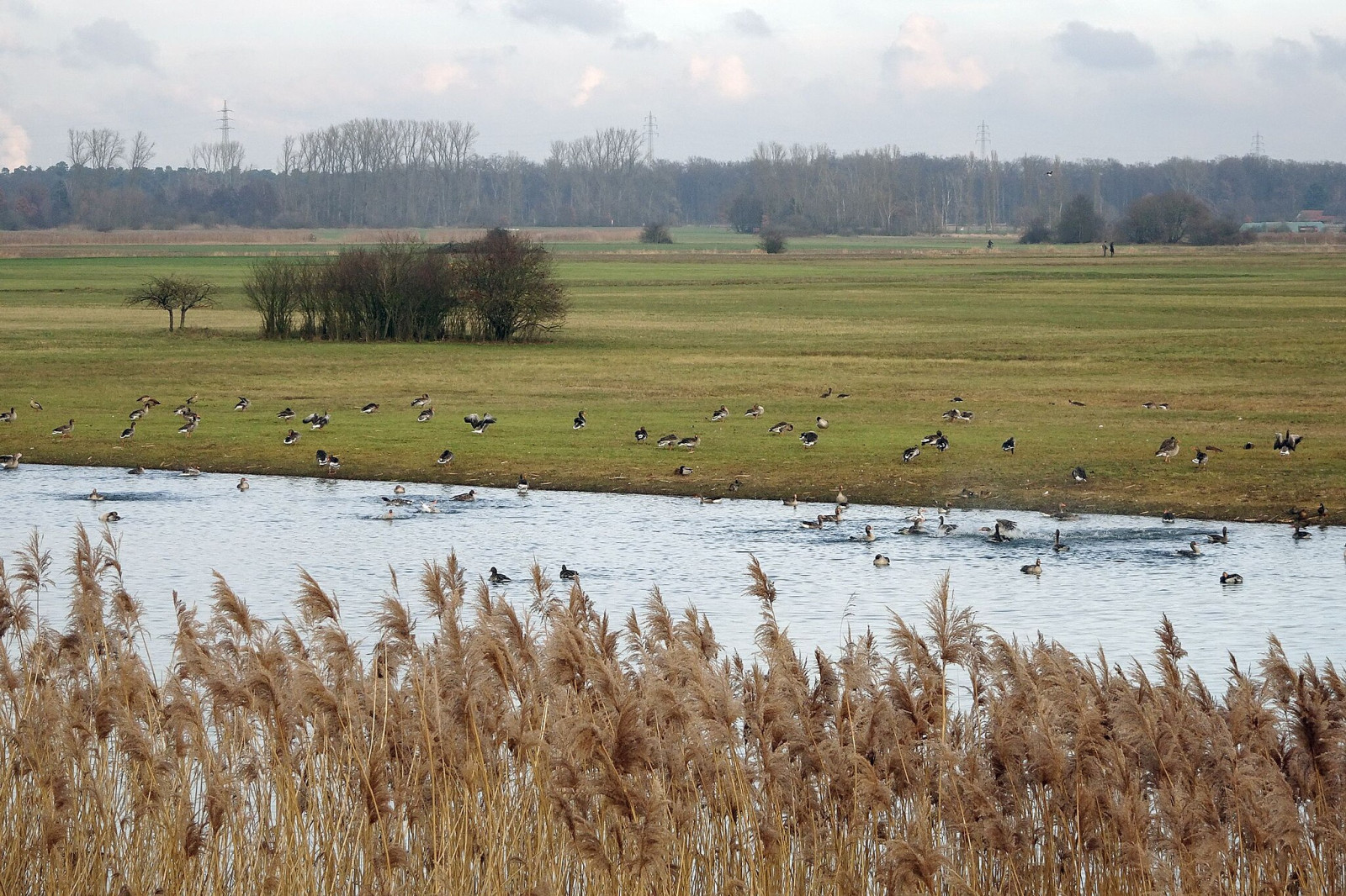
A floodplain area on the lower reaches of the Gersprenz stream with habitat for many bird species, including migratory birds.
The Hergershäuser Wiesen are a floodplain area of approximately 400 hectares and characterized by many different habitats; wet, dry and sandy. Large areas are irrigated with a wind pumping station and several temporary water-retaining ponds and extensive wet meadows are created. NABU Münster (Hesse) has been committed to protecting and caring for these valuable areas for decades and makes the area accessible through a marked circular trail and guided hikes.
Hergershäuser Wiesen is located between Münster, Altheim and Hergershausen. It is easy to explore the area from these places. Press a P in the map for directions to a parking spot. In addition, one of the trails starts from Altheim train station. If you walk all the trails that are shown on the map it is a distance of 11 km, but it is of course easy to make the walk shorter.
Your feedback will be sent to the author of this area and the editors of Birdingplaces. They will use your feedback to improve the quality of the information. Do you want to post a visible comment? Then please click away this box and use the 'Comment' button at the bottom of this birdingplace.
Help to improve the information in the text of this birdingplace.
Help to improve the quality of the information on the map of this birdingplace.
Help to improve the quality of the bird species list of this birdingplace. (Do you want to share your observations? Please use the 'Comment' button at the bottom of this birdingplace)
Click on the little bird icon () to insert bird names in your own language. The birdnames will automatically be translated for other users!