Description
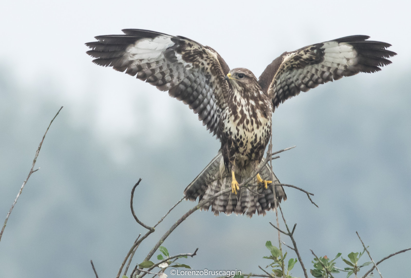
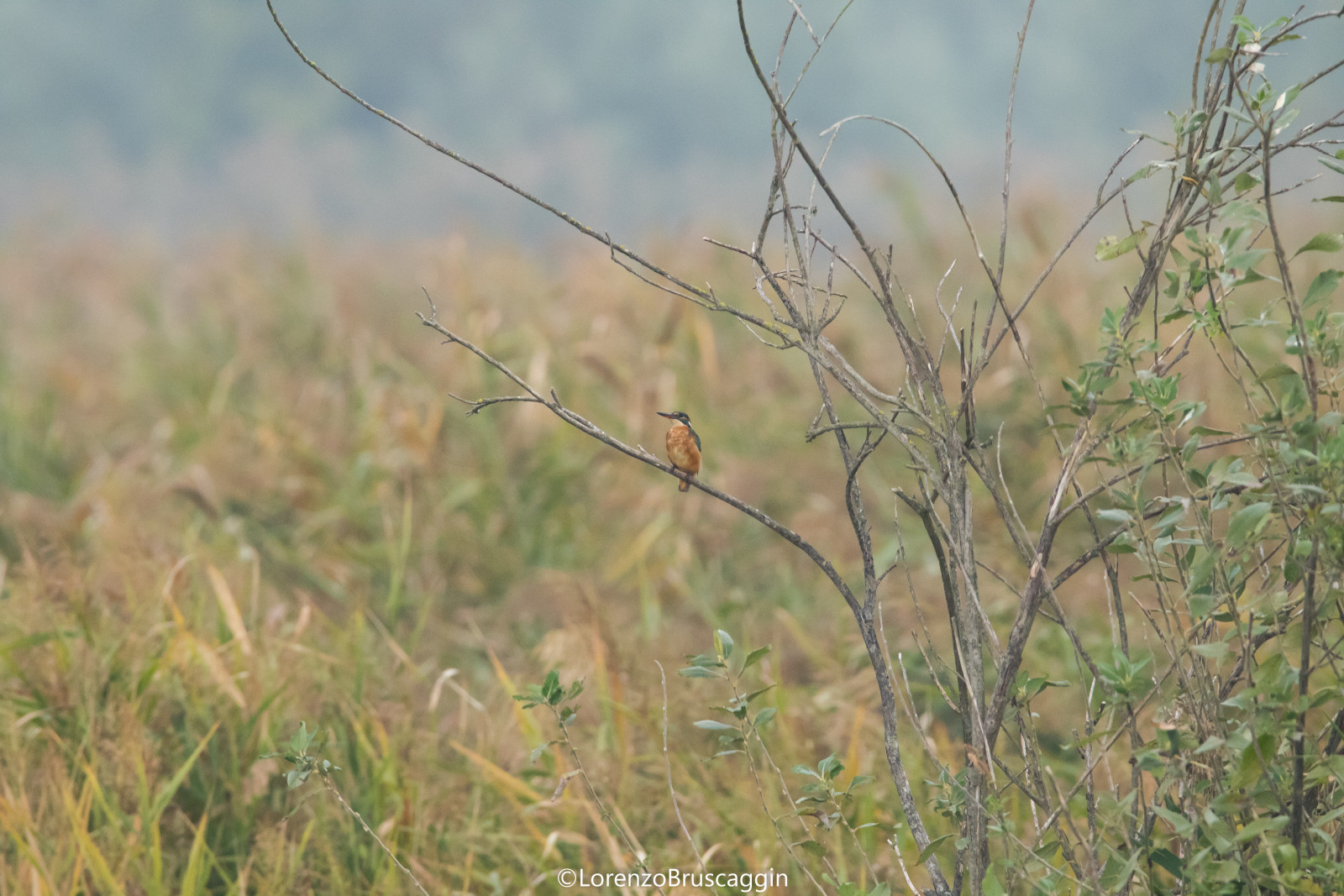
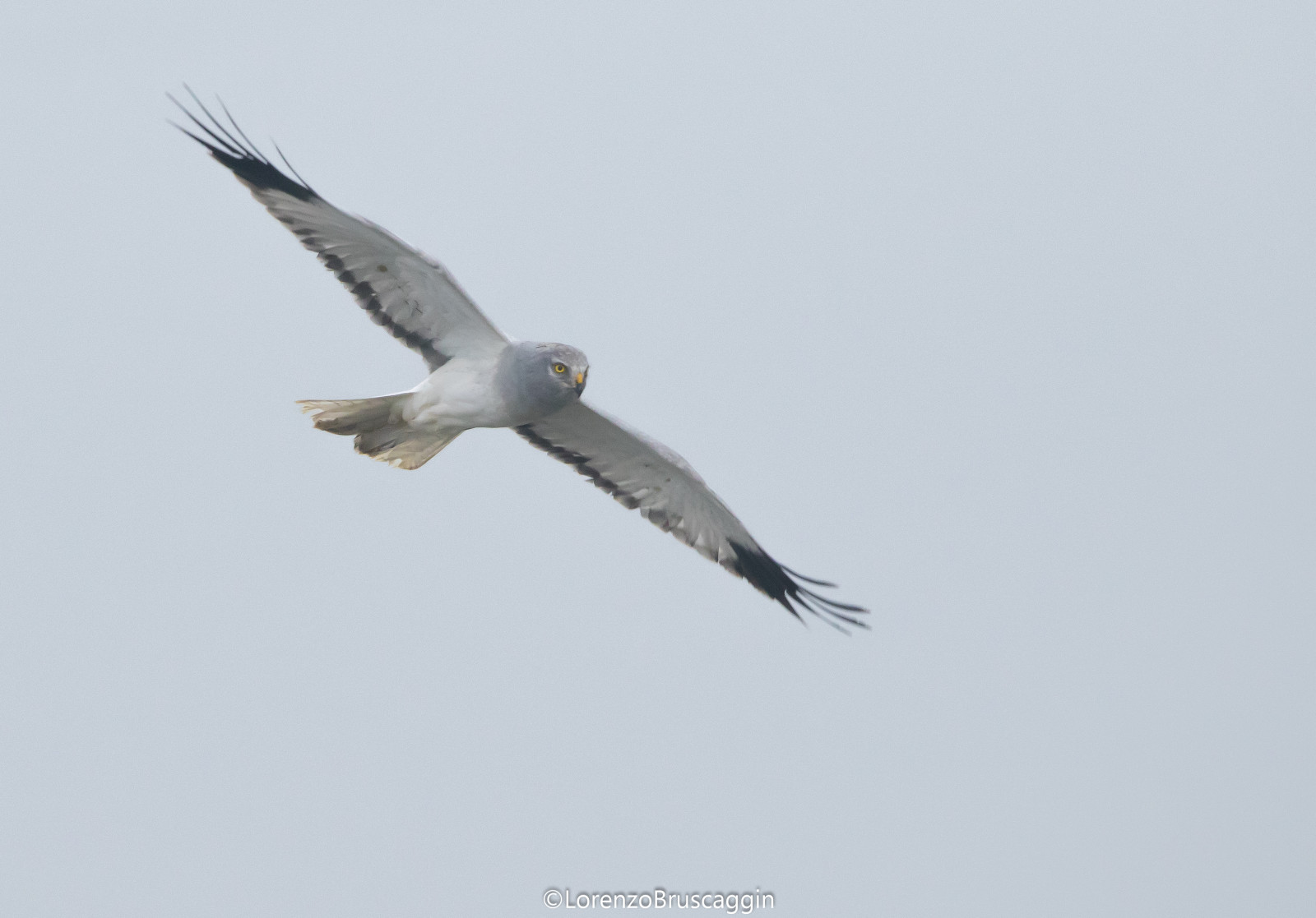
Parco Golene Foce Secchia is located in the Po Valley near Mantua. Extending over an area of approximately 1,200 hectares, the park includes the floodplain lands of the final stretch of the Secchia river up to its confluence with the Po. Beyond the natural environments, the Park is characterized by the geomorphological aspects of the territory, dominated by the dense meanders of the river, and by the impressive reclamation works. The park lends itself particularly to cycling, due to its extension. The pedestrian and cycle paths placed on the main banks of the river are part of the circuit of the European Eurovelo network. It is an important naturalistic corridor also for wildlife.
_________________________
Italiano: Il parco golene foce Secchia si sviluppa nella parte in cui l'omonimo fiume confluisce con il grande fiume Po e nella zona antistante. Situati nella pianura padana mantovana, i Comuni di Moglia, Quingentole, Quistello e San Benedetto Po e i Consorzi di Bonifica “Terre dei Gonzaga in Destra Po” e “Parmigiana Moglia – Secchia” si sono fatti promotori della creazione del Parco Locale di Interesse Sovracomunale denominato Parco delle Golene Foce Secchia.
Esteso su una superficie di circa 1.200 ettari, il parco comprende i terreni golenali del tratto terminale del fiume Secchia sino alla confluenza in Po. Al di là degli ambienti naturali, il Parco si caratterizza per gli aspetti geomorfologici del territorio, dominati dai fitti meandri del fiume, e per le imponenti opere di bonifica, testimonianza dell’atavica azione di governo delle acque degli uomini della Bassa. Il Parco si presta particolarmente alla fruibilità cicloturistica per giovani e non, per la sua estensione, la percorribilità e la vicinanza di centri abitati di rilevante interesse storico-architettonico. I percorsi ciclopedonali posti sugli argini maestri del fiume rientrano nel circuito della rete europea Eurovelo. E' un importante corridoio naturalistico anche per la fauna selvatica.
Details
Access
It is possible to park the car in various points and continue on foot or by bicycle. Click on a P in the map for directions. The walk indicated on the map is about 4 km.
_________________________
Italiano: È possibile parcheggiare l'auto in vari punti e proseguire a piedi oppure in bicicletta. Clicca su una P nella mappa per le indicazioni stradali. La passeggiata indicata sulla mappa è di circa 4 km.


 ) to insert bird names in your own language. The birdnames will automatically be translated for other users!