


.jpg)


Rate birdingplace De Meren
Rated 0 stars out of 5
0


Remnant of an old river Maas arm with forest, marsh, reeds, meadows and duck decoys.
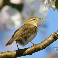
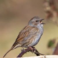
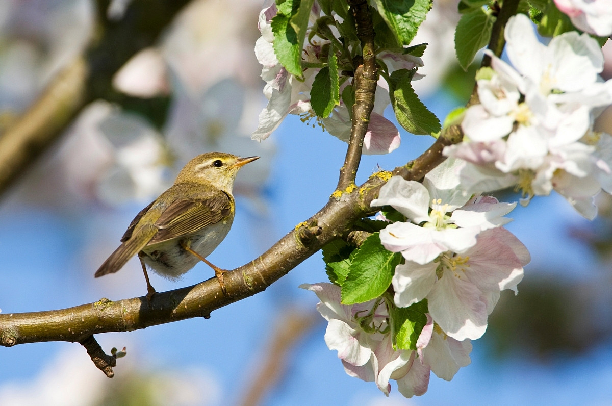
Around 200 years BC, the river Maas flowed at this location. Now De Meren contains forest, marsh, reeds and meadows. The area also has 2 duck decoys, of which there are more in the immediate vicinity. This indicates a wealth of water birds at the time they were in use. The existing biotope with marsh and reeds is perfect for Reed Warbler, which you can find there in spring and summer. The Common Cuckoo knows how to make good use of this.
_________________________
Nederlands: De Meren is een overblijfsel van een oude Maasarm. Dit gebied ligt in het Hoogbroek, midden in West Maas en Waal. Rond 200 jaar voor Christus stroomde op deze locatie de rivier de Maas. Nu bevat dit gebied zowel bos, moeras, riet en weilanden. Ook herbergt dit gebied 2 eendenkooien waarvan er in de directe omgeving meer aanwezig zijn. Dit duidt op rijkdom aan watervogels in de tijden dat deze in gebruik waren. Op historisch kaarten van 1850 zijn de eendenkooien al te zien, maar vermoedelijk zijn deze honderden jaren ouder. Het aanwezige biotoop met moeras en riet is perfect voor Reed Warbler die je er in het voorjaar en de zomer kunt vinden. De Common Cuckoo weet daar handig gebruik van te maken.
The Meren are located west of the town of Dreumel. From the Merenweg the area is accessible from 2 places. You can park your car there next to the road. The parking spaces are small. There is only room for a few cars. Press a P on the map for directions to a parking space. The circular walk shown on the map is approximately 3 kilometers.
_________________________
Nederlands: De Meren liggen ten westen van de plaats Dreumel. Vanaf de Merenweg is het gebied vanaf 2 plekken toegankelijk. Je kunt de auto daar ook naast de weg parkeren. De parkeerplekken zijn klein. Er is maar ruimte voor enkele auto's. Druk op een P in de kaart voor een routebeschrijving naar een parkeerplek. De rondwandeling die is weergegeven op de kaart is circa 3 kilometer.
 ) to insert bird names in your own language. The birdnames will automatically be translated for other users!