


Charger images
Les formats d'image autorisés sont de type jpeg, png ou gif
La taille maximale du fichier doit être de 20MB


Stover Country Park is in South Devon. A lake with marshland surrounded by woodland/grassland and heathland.
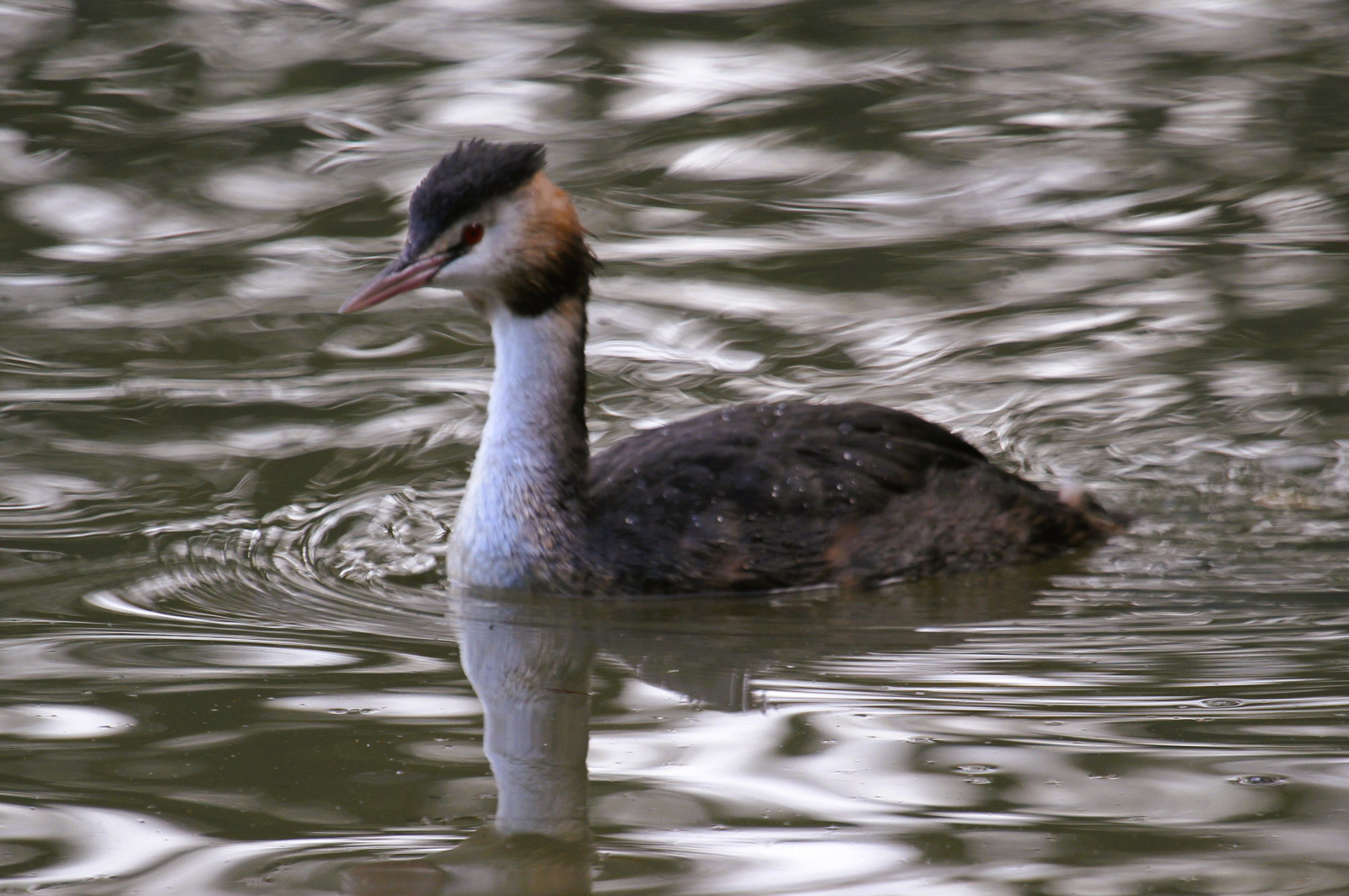
Stover Country Park is North West of Newton Abbot. The park (114 acres) , run and managed by Devon County Council, comprises of a lake (approx 10 acres) with marshland surrounded by woodland/grassland and heathland. It has a car park (fee payable), visitor center with public toilets, a bird hide and unusually an aerial walkway (see STAR on map) that takes you through the lower canopy. It became a Site of Special Scientific Interest (SSSI) in 1984 and became a Local Nature Reserve (LNR) in 2001,. The 18 mile long distance Templer Way footpath (Haytor to Shaldon) runs through the park, as does a cycle path (cyclists please keep to this path only). Dogs are allowed in the park BUT MUST BE KEPT ON LEADS AROUND THE LAKE AND WATERWAYS to stop disturbance of waterbirds. For an inland site it has a very large list of bird species, some seen in the past are Bondrée apivore, Chevalier culblanc, Plongeon arctique, Panure à moustaches, Pluvier argenté, Chevalier aboyeur, Pic épeichette, Courlis corlieu and Harle piette. It is probably best known for the regular sightings of Engoulevent d'Europe, Bouscarle de Cetti, Harle bièvre and Pipit des arbres.
The A38 (Devon Expressway) between Exeter (to the East) and Plymouth (to the West) passes directly pass the park,. Turn off the A38 towards Newton Abbot on the A382 (also called Bovey Road) and look for sign to Stover Country Park on the left.
There are numerous other paths to explore other than the basic route marked on the map.
 ) Insérez les noms d'oiseau dans votre langue. Ils seront automatiquement traduits pour les autres usagers !
Votre feedback sera transmis à l’auteur.rice de cette zone et à l’équipe éditoriale de Birdingplaces, qui l’utiliseront pour améliorer la qualité des informations. (Vous souhaitez publier un commentaire visible en bas de page ? Fermez cette fenêtre et choisissez l’Option 1 : « Publier un commentaire, un conseil ou une observation ».)
Veuillez fournir des suggestions d'améliorations ou d'ajouts au texte de ce site ornithologique.
Veuillez fournir vos suggestions d'améliorations ou d'ajouts à la carte.
Veuillez fournir des suggestions d'améliorations ou d'ajouts à la liste des oiseaux.
Cliquez sur l'icône de l'oiseau () Insérez les noms d'oiseau dans votre langue. Ils seront automatiquement traduits pour les autres usagers !