


Charger images
Les formats d'image autorisés sont de type jpeg, png ou gif
La taille maximale du fichier doit être de 20MB

Newbridge - Cadson Bury Hill Fort is South West of the town of Callington in East Cornwall.
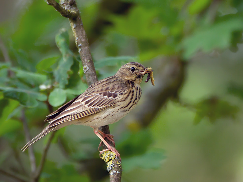
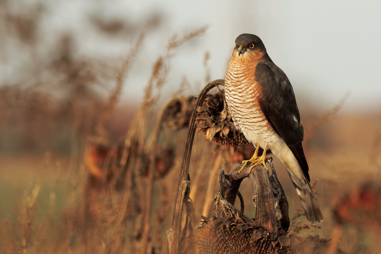
Newbridge is a road crossing over the River Lynher on the A390 main road between Callington and Liskeard. Newbridge being such a common name it's known locally as Callington Newbridge, built centuries ago it was formerly a toll bridge. NOTE whilst the river is mostly slow and gentle, following periods of heavy rain it can become extremely fast and care should be taken near the river banks. Cadson Bury (or Cadsonbury) is a large Iron Age Hill Fort. NOTE the climb is very steep with steps but gives spectacular views over a wide area. 60 years ago this area was little visited, but today is more popular, on fine days, especially in Summer months, a visit early in the day is best. Once one of the best places to see both Mésange nonnette and Mésange boréale, today they are rarely seen, more common depending on season are Roitelet huppé, Tarin des aulnes, Cincle plongeur, Pouillot véloce, Bruant jaune, Pipit des arbres and Buse variable amongst many others.
The A390 main road runs from Liskeard (far to the West) and Callington (just to the North East). If traveling from Liskeard leave on A390 signed Callington/Tavistock/Launceston (A388), pass through the hamlets of St I've/Park field, continue on A390, the road eventually goes downhill through a wooded section, on passing River Lynher Newbridge sign, at next sharp Left hand bend turn Right into narrow road to car park. If traveling from Callington leave on A390 signed Liskeard, the road soon goes downhill through trees on both sides, on passing Priority To Oncoming Vehicles (Blue) signs the road narrows, cross over bridge and turn first Left into narrow road to car park.
If climbing to hill fort livestock may be present. The circular walk indicated on the map is about 3,5 km.
 ) Insérez les noms d'oiseau dans votre langue. Ils seront automatiquement traduits pour les autres usagers !
Votre feedback sera transmis à l’auteur.rice de cette zone et à l’équipe éditoriale de Birdingplaces, qui l’utiliseront pour améliorer la qualité des informations. (Vous souhaitez publier un commentaire visible en bas de page ? Fermez cette fenêtre et choisissez l’Option 1 : « Publier un commentaire, un conseil ou une observation ».)
Veuillez fournir des suggestions d'améliorations ou d'ajouts au texte de ce site ornithologique.
Veuillez fournir vos suggestions d'améliorations ou d'ajouts à la carte.
Veuillez fournir des suggestions d'améliorations ou d'ajouts à la liste des oiseaux.
Cliquez sur l'icône de l'oiseau () Insérez les noms d'oiseau dans votre langue. Ils seront automatiquement traduits pour les autres usagers !