


Charger images
Les formats d'image autorisés sont de type jpeg, png ou gif
La taille maximale du fichier doit être de 20MB

Cogden Beach and West Bexington Nature Reserve is in South West Dorset on the coast of Lyme Bay.
Chesil Beach (or Chesil Bank) is an 18 mile long shingle beach that runs from West Bay in the west to the Isle of Portland in the east, near the western end is Cogden Beach and West Bexington Nature Reserve, the two separate areas are just behind the shingle beach and both have good areas of reedbeds, of the two West Bexington has more open water. The area is better known for passage migrants with Fauvette mélanocéphale (first for Dorset), Échasse blanche, Phalarope à bec large in recent years and in the spring of 2021 a Pipit rousseline. You can walk the full distance between Cogden Beach National Trust car park (fee payable) and West Bexington Beach car park (fee payable) or treat the two sites separately.
The A35 Bridport to Dorchester road runs West to East to the North of the sites. If starting from Bridport leave on the A35 towards Dorchester, after 2 miles turn Right into Shipton Road (signed Shipton Gorge/Burton Bradstock), after passing through Shipton Gorge Shipton Road changes to Shipton Lane (narrow at times). On arriving in Burton Bradstock continue to a T Junction and turn Left onto High Street. Continue on this road and turn Left onto the B3157 (Common Lane), shortly after passing holiday park (on Right) you arrive at Cogden Beach car park. Follow footpath to beach or alternatively across fields. For West Bexington Nature Reserve (Dorset Wildlife Trust), leave Cogden Beach car park and turn Right (East) towards Abbotsbury on the B3157, on arriving at the village of Swyre turn Right (opposite The Bull Inn public house) into Swyre Road that takes you to the beach car park at West Bexington, the footpath runs West from the car park.
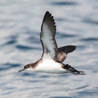
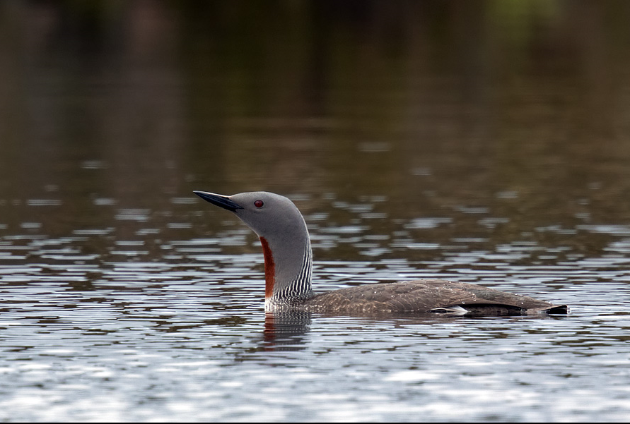
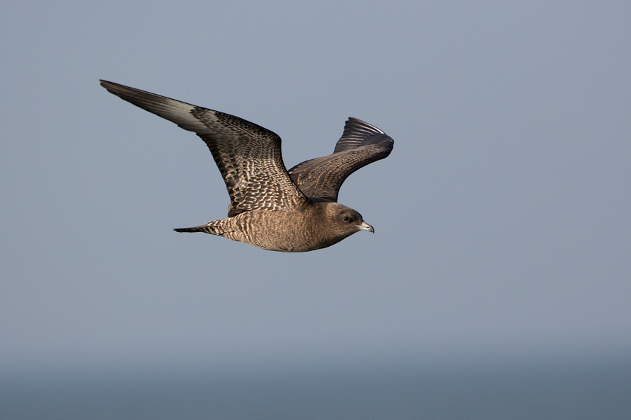
BE WARNED, THE AREA IS KNOWN FOR VENOMOUS SNAKES. Following periods of prolonged rainfall the field areas behind beach can be extremely wet with potentially deep ditches. You can gain access to West Bexington Nature Reserve (for entrance SEE STAR on map). NOTE because the beach is made up of shingle the walk along it can be hard going. As with most South Coast beaches they can be EXTREMELY busy during summer months and car parks fill up quickly. BE SURE to check sea for Grebes/Divers and Seabirds and other birds on the beach.
 ) Insérez les noms d'oiseau dans votre langue. Ils seront automatiquement traduits pour les autres usagers !
Votre feedback sera transmis à l’auteur.rice de cette zone et à l’équipe éditoriale de Birdingplaces, qui l’utiliseront pour améliorer la qualité des informations. (Vous souhaitez publier un commentaire visible en bas de page ? Fermez cette fenêtre et choisissez l’Option 1 : « Publier un commentaire, un conseil ou une observation ».)
Veuillez fournir des suggestions d'améliorations ou d'ajouts au texte de ce site ornithologique.
Veuillez fournir vos suggestions d'améliorations ou d'ajouts à la carte.
Veuillez fournir des suggestions d'améliorations ou d'ajouts à la liste des oiseaux.
Cliquez sur l'icône de l'oiseau () Insérez les noms d'oiseau dans votre langue. Ils seront automatiquement traduits pour les autres usagers !