


Charger images
Les formats d'image autorisés sont de type jpeg, png ou gif
La taille maximale du fichier doit être de 20MB


Charmouth is a village on the coast of Lyme Bay in West Dorset.
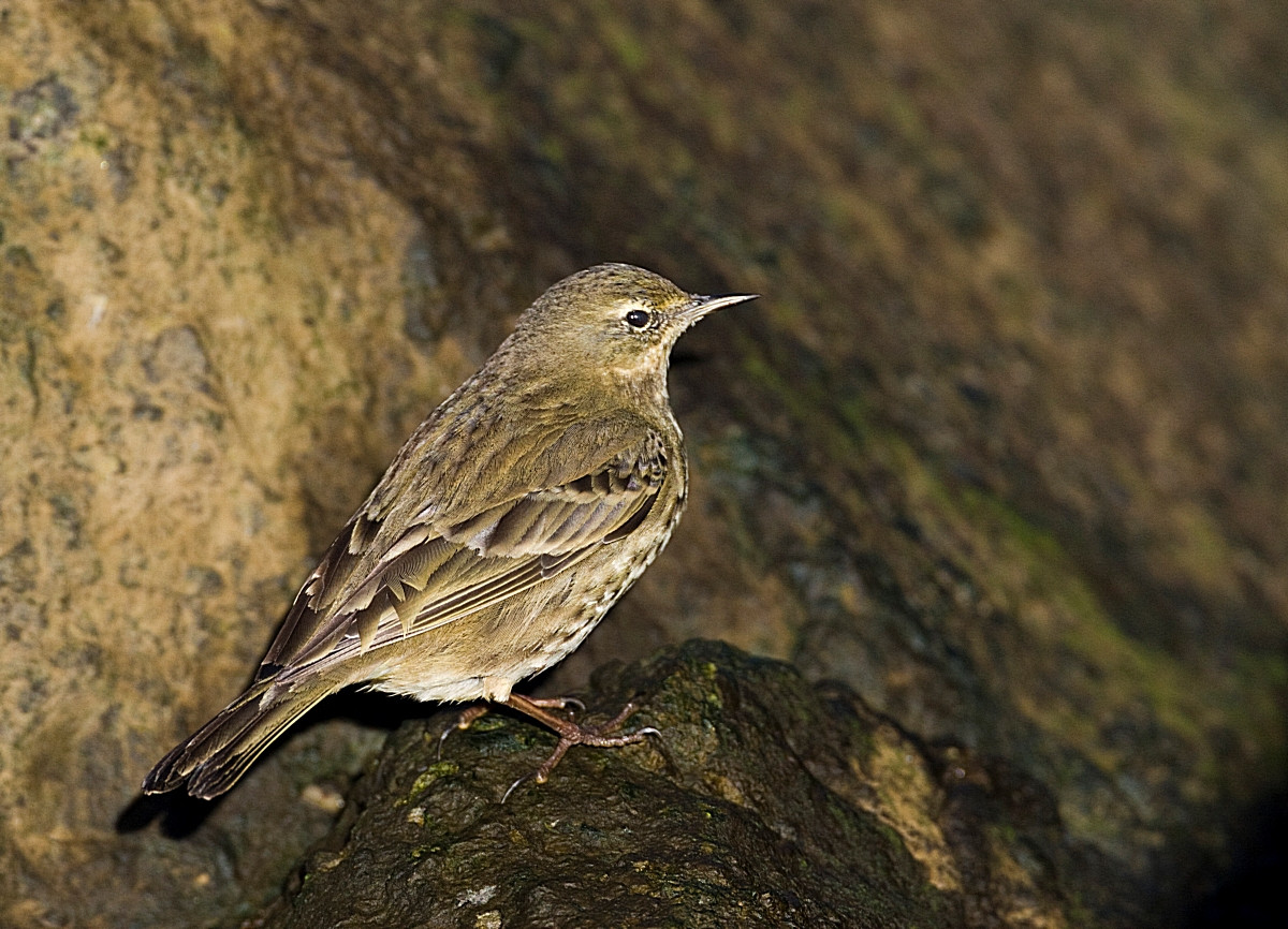
Charmouth is set amongst some of the highest sea cliffs on the South coast of England, some of which are over 600 foot high, the area is renowned for fossils and is part of the Jurassic Coast. The River Char runs through the village and has Martin-pêcheur d'Europe, Cincle plongeur and Bergeronnette des ruisseaux. The shingle area at the mouth of the River had a Bécasseau de Temminck in the past. The small area of reedbeds (Press STAR on map) between the seafront car parks, hold Bruant des roseaux, Rousserolle effarvatte and can have Râle d'eau, Bécassine des marais and the occasional Bécassine sourde. The car parks in this area can have a large pre-roost gathering of Bergeronnette de Yarrell in late afternoons during Winter months, whilst Faucon pèlerin, Grand Corbeau, Tarier pâtre and Pipit maritime are resident. On beaches waders are only to be found in smaller numbers Grand Gravelot, Huîtrier pie and Tournepierre à collier being the most common.
WARNING. Due to erosion, cliff falls can happen at any time, walking near cliff edges and at the base of cliffs can be TREACHEROUS.
The A35 main road running from Honiton (far to the West) and Bridport (to the East), is just North of the site, if traveling from Honiton on A35 at Charmouth roundabout take second exit signed Charmouth. Continue on this road (Axminster Road), going downhill in Charmouth turn Right into Lower Sea Lane signed Beach/Heritage Coast Centre/Car Parks, continue on this road to numerous seafront car parks (Fee Payable). If traveling from Bridport on A35, turn Left at sign for Charmouth/Catherston/Leweston/Wootton Fitzpaine, on this road called Berne Lane on entering Charmouth the road starts to climb, on passing shops turn Left (just pass light controlled pedestrian crossing) into Lower Sea Lane signed Shoppers Car Park/Toilets/Beach/Heritage Coast Centre, car parks are near beach at end of this road.
 ) Insérez les noms d'oiseau dans votre langue. Ils seront automatiquement traduits pour les autres usagers !
Votre feedback sera transmis à l’auteur.rice de cette zone et à l’équipe éditoriale de Birdingplaces, qui l’utiliseront pour améliorer la qualité des informations. (Vous souhaitez publier un commentaire visible en bas de page ? Fermez cette fenêtre et choisissez l’Option 1 : « Publier un commentaire, un conseil ou une observation ».)
Veuillez fournir des suggestions d'améliorations ou d'ajouts au texte de ce site ornithologique.
Veuillez fournir vos suggestions d'améliorations ou d'ajouts à la carte.
Veuillez fournir des suggestions d'améliorations ou d'ajouts à la liste des oiseaux.
Cliquez sur l'icône de l'oiseau () Insérez les noms d'oiseau dans votre langue. Ils seront automatiquement traduits pour les autres usagers !