


Charger images
Les formats d'image autorisés sont de type jpeg, png ou gif
La taille maximale du fichier doit être de 20MB


Calshot Marshes and area is on the Western shore of Southampton Water in South Hampshire.
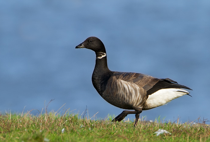
Since the former power station at Fawley was demolished, the area is going through big changes, housing is planned to be built, offset by improved habitats for birds. NOTE during the building and habitat improvements some paths may be temporarily closed or rerouted. The North side of Calshot Spit has extensive saltmarsh and mudflats, to the South of the Spit at low tide is mud mixed with stones. During Winter Bernache cravant, Tadorne de Belon, Canard siffleur, Sarcelle d'hiver, Canard pilet, Grèbe huppé, Grèbe castagneux, Harle huppé, Huîtrier pie, Grand Gravelot, Pluvier argenté, Barge à queue noire, Courlis cendré, Bécasseau variable, Chevalier gambette, Chevalier aboyeur and Chevalier guignette are common in various numbers. Landbirds include Rossignol philomèle (in small numbers) and good numbers of Tarier pâtre, Bouscarle de Cetti, Bruant des roseaux, Fauvette pitchou, Pipit maritime and Bouvreuil pivoine. During Summer Phragmite des joncs, Rousserolle effarvatte, Fauvette babillarde are present. For birds feeding on saltmarsh or mudflats a visit 2-3 hours before/after high tide is best (see link to tide table below). The high tide roost is marked on map, press STARS for more information.
Leave Southampton Westwards on A35, on Totton Bypass. At roundabout take first exit signed Fawley A326, at Dibden roundabout take second exit signed Fawley/Hardly/Dibden Purlieu/Superstore A326, at next roundabout take second exit signed Fawley/Holbury/Hardly/Dibden Purlieu A326. At Dibden Purlieu roundabout take second exit signed Fawley/Hardly/Holbury A326, at Hardly roundabout take third exit signed Fawley/Blackfield/Holbury A326. At next roundabout take first exit signed Calshot/Fawley B3053, continue on B3053 road, on passing through Calshot (BE AWARE OF ONE WAY ROADS). On approaching beach road (called Jack Maynard Road) turn Left, continue on this road with beach huts, car park (Fee Payable) is on the Right.
 ) Insérez les noms d'oiseau dans votre langue. Ils seront automatiquement traduits pour les autres usagers !
Votre feedback sera transmis à l’auteur.rice de cette zone et à l’équipe éditoriale de Birdingplaces, qui l’utiliseront pour améliorer la qualité des informations. (Vous souhaitez publier un commentaire visible en bas de page ? Fermez cette fenêtre et choisissez l’Option 1 : « Publier un commentaire, un conseil ou une observation ».)
Veuillez fournir des suggestions d'améliorations ou d'ajouts au texte de ce site ornithologique.
Veuillez fournir vos suggestions d'améliorations ou d'ajouts à la carte.
Veuillez fournir des suggestions d'améliorations ou d'ajouts à la liste des oiseaux.
Cliquez sur l'icône de l'oiseau () Insérez les noms d'oiseau dans votre langue. Ils seront automatiquement traduits pour les autres usagers !