
Description
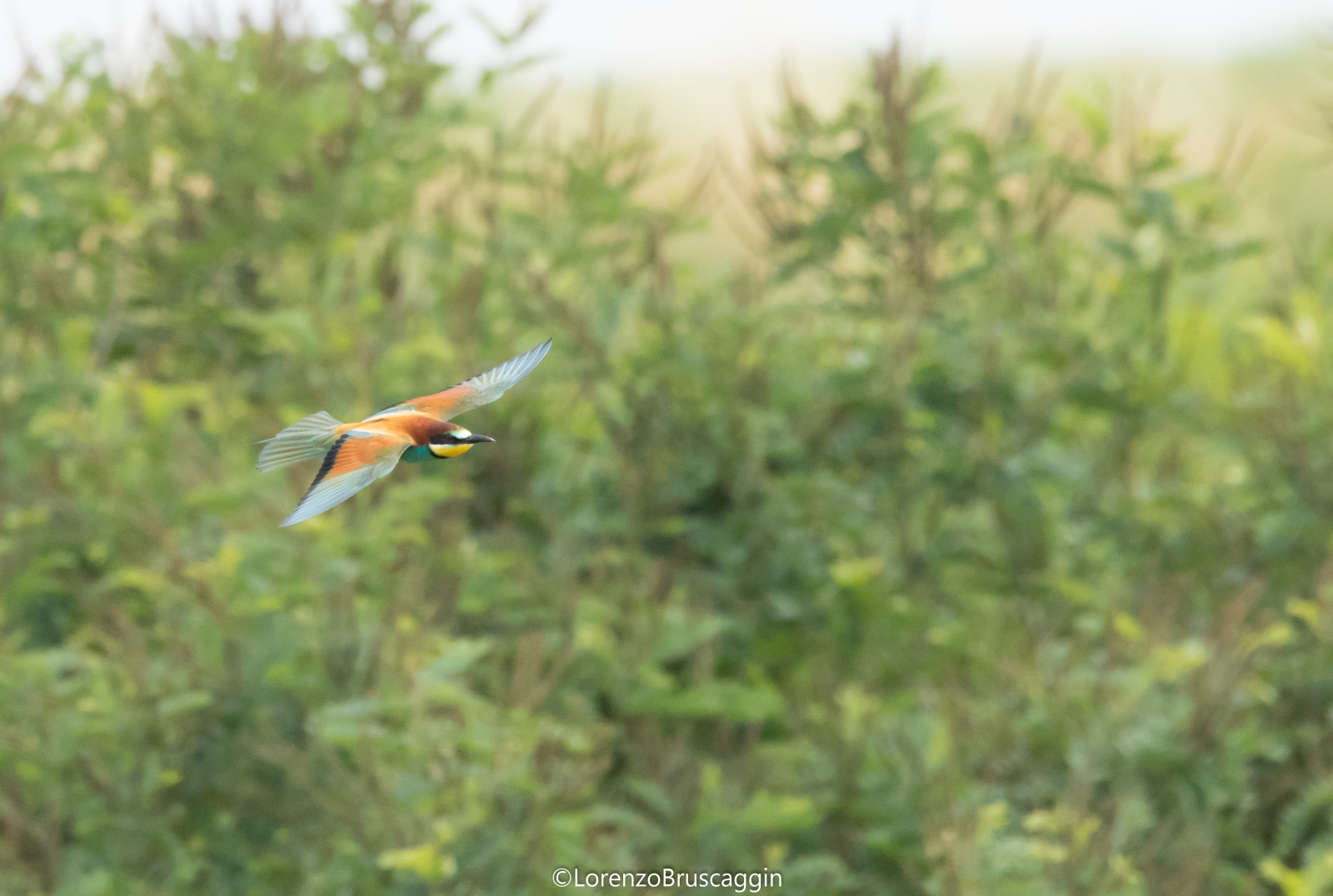
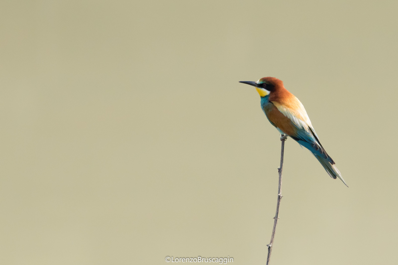
Located in the municipality of Sermide and Felonica, at the extreme south-eastern edge of Lombardy, Parco Golenale del Gruccione owes its name to the presence of a large colony of Бджолоїдка звичайна. The only started nesting here from the early 2000s regularly along the Po. The protected area, established in 2004, extends over a surface of 548 hectares made up largely of floodplain environments and vast river islands (such as Isola Schiavi and Isola Bianchi). You can trace the typical landscape layout of the lower course of the Po, made up of agricultural land, poplar groves, hydrophilic woods that settled spontaneously in abandoned quarries, oxbow lakes and vast sandbanks. Right next to an abandoned quarry is the "Digagnola" naturalistic oasis, a freely accessible area equipped for observing nature, with a circular cycle/pedestrian path approximately one kilometer long.
_________________________
Italiano: Il parco golenale del Gruccione è un'area golenale del fiume Po, in questa zona in Estate è presente una folta colonia di Gruccioni. Situato nel comune di Sermide e Felonica, all’estrema propaggine sud-orientale della Lombardia, il Parco deve il proprio nome alla presenza di una nutrita colonia di gruccioni, uccelli dalla splendida livrea solo a partire dai primi anni duemila hanno iniziato a nidificare regolarmente lungo il Po. L’area protetta, istituita nel 2004, si estende su una superficie di 548 ettari costituiti in gran parte da ambienti golenali e da vaste isole fluviali (come l’Isola Schiavi e l’Isola Bianchi). Vi si rintraccia il tipico assetto paesaggistico del basso corso del Po, costituito da centri abitati addossati all’argine maestro, terreni agricoli all’interno di “golene chiuse”, pioppeti, boschi idrofili insediatisi spontaneamente in cave abbandonate, lanche e vasti sabbioni. Proprio in corrispondenza di una cava abbandonata si trova l’Oasi naturalistica “Digagnola”, un’area attrezzata per l’osservazione della natura, liberamente fruibile, con un percorso ciclopedonale ad anello della lunghezza di circa un chilometro.
Details
Access
It is possible to park the car on the river bank. Click on the P in the map for directions. The circular walk indicated on the map is about 2 km.
_________________________
Italiano: E possibile parcheggiare l'auto sull'arigne del fiume. Clicca sulla P nella mappa per le indicazioni stradali. Il percorso circolare a piedi indicato sulla mappa è di circa 2 km.


 ) to insert bird names in your own language. The birdnames will automatically be translated for other users!