Description
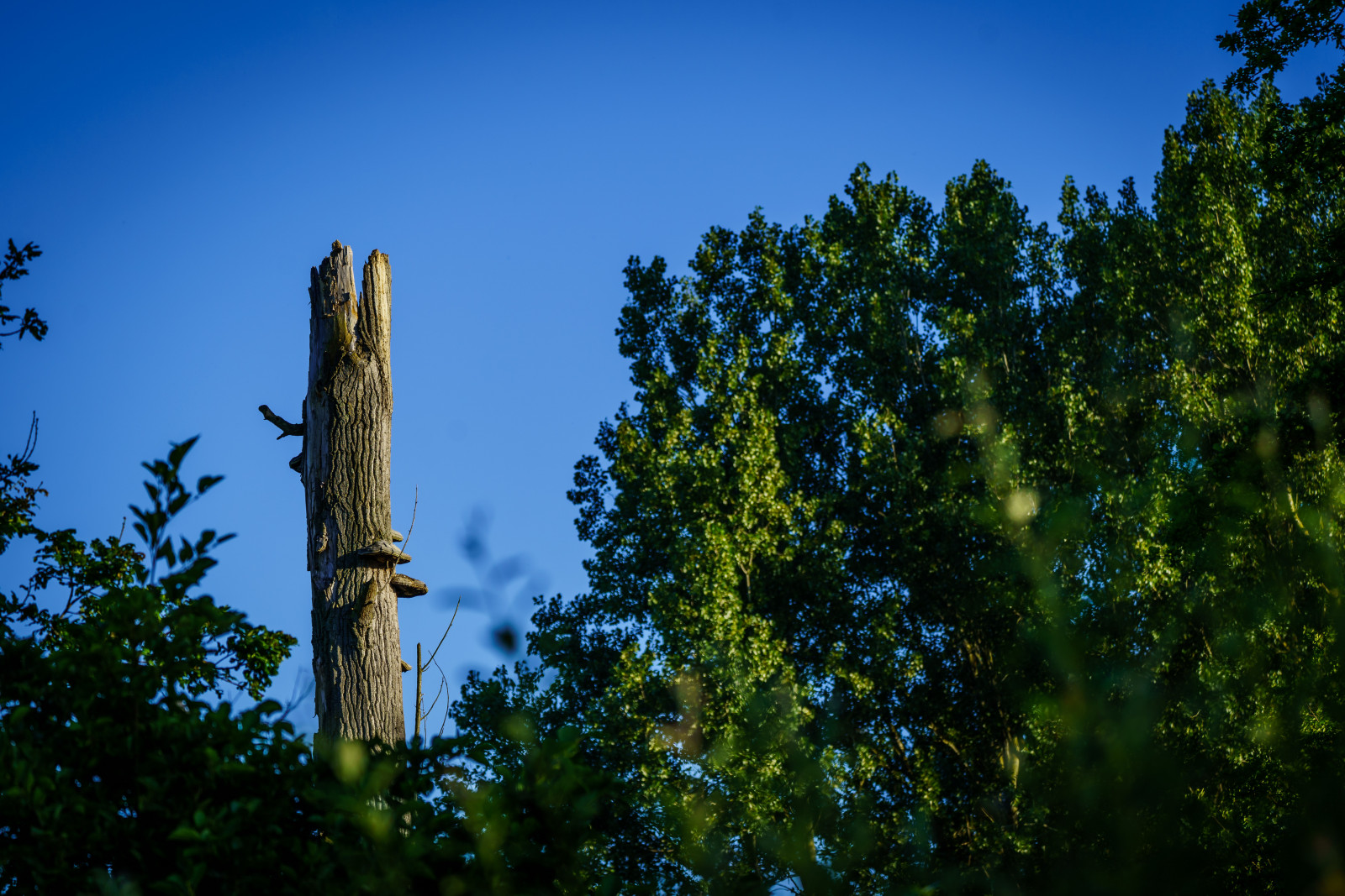
Schorisgat consists of open grasslands. Because of the Leibeek stream, this is a marshy area in some places. Ideal for Баранець звичайний. In the summer you will see a group of Лелека білий foraging here. Thanks to the open fields, this is also an ideal place for birds of prey, such as Канюк звичайний and Боривітер звичайний.
_________________________
Nederlands: Schorisgat bestaat uit open graslanden, waarvan sommige worden gehooid. Door de Leibeek is dit op sommige plekken een drassig gebied. Ideaal voor Баранець звичайний. In de zomer zal je hier een groep Лелека білийs zien foerageren. Dankzij de open velden is dit ook een ideale plek voor roofvogels, zoals Канюк звичайний en Боривітер звичайний.
Details
Access
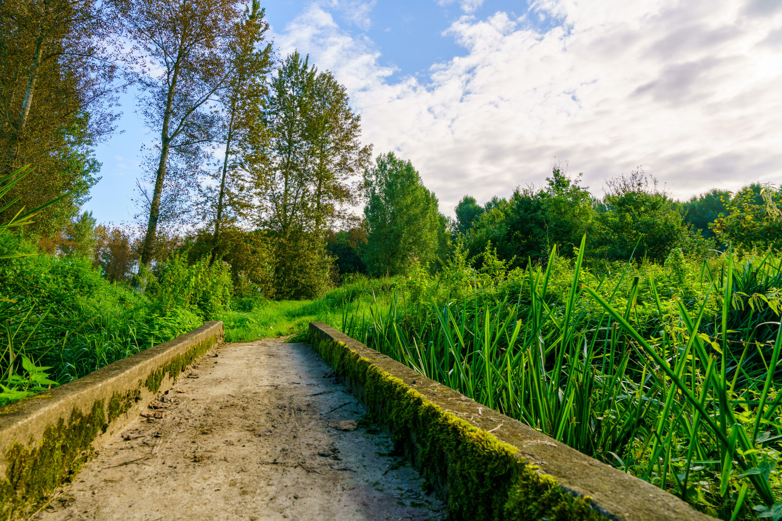
The Schorisgat is located directly south of the town of Haacht. The grass meadows are only accessible on foot, there are no official marked hiking trails. The Schorisgat can now be crossed by bicycle. Parking can be found at Sporthal Den Dijk. The circular route on the map is about 3,5 km long.
_________________________
Nederlands: Het Schorisgat ligt direct ten zuiden van Haacht. De grasweides zijn enkel te voet toegankelijk, er zijn geen officiële aangeduide wandelwegen. Het Schorisgat is nu doorkruisbaar per fiets. Parkeergelegenheid kan je vinden bij Sporthal Den Dijk. Druk op P in de kaart voor een routebeschrijving naar de parkeerplek. De rondwandeling aangegeven op de kaart is ongeveer 3,5 km lang.
Terrain and Habitat
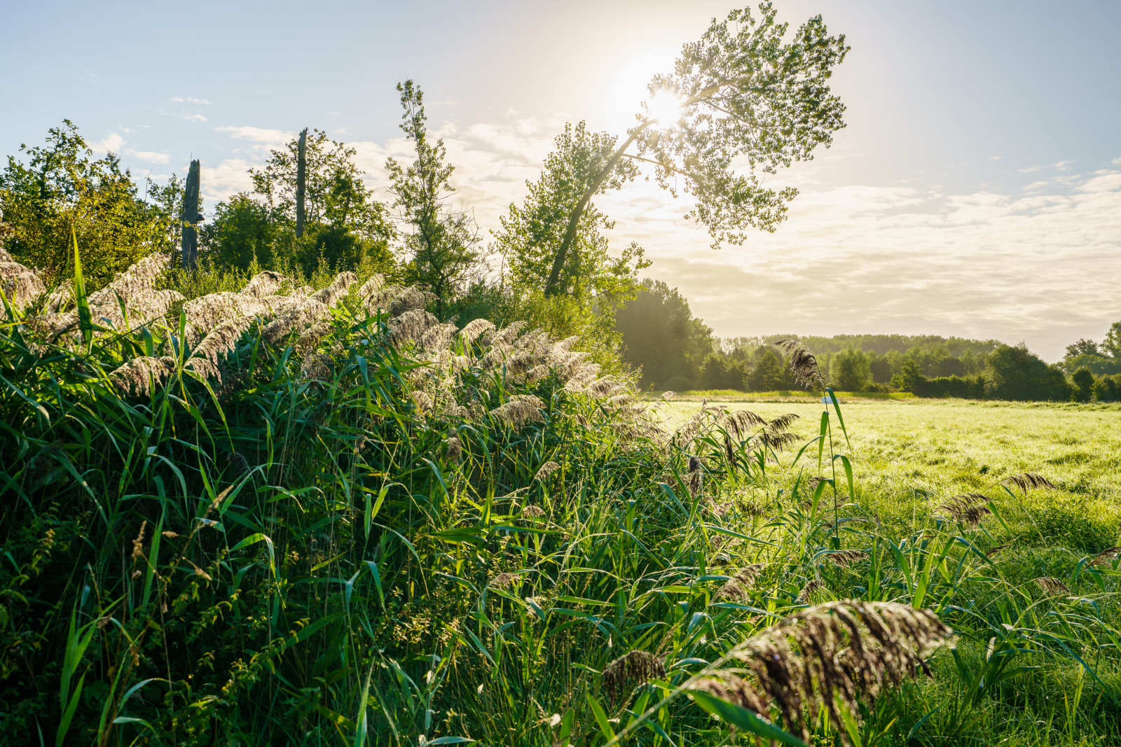
Grassland , Scattered trees and bushes , AgricultureConditions
Flat , Open landscapeCircular trail
NoIs a telescope useful?
YesGood birding season
All year roundBest time to visit
Spring , SummerRoute
Paved road , Narrow trailDifficulty walking trail
EasyAccessible by
Foot , BicycleBirdwatching hide / platform
NoExtra info
In the 16th century, the still damp meadows are referred to on the toponomic map as "euzel" which means wet hay meadow. We also find places on this map that are called "rotten" (swampy area), indicating the quality of the soils for agriculture. The "donken" (Stampendonkstraat) indicate slightly elevated places. The broad depression on the Schapendonk is a remnant of a root pit for flax, which used to be an important crop in Haacht. Originally Haacht's weekly market was a flax market!
_________________________
Nederlands: De nu nog vochtige weiden worden in de 16de eeuw op de toponomische kaart aangeduid als "euzel" wat natte hooiweide betekent. Ook vinden we plaatsen terug op deze kaart die "rot" (moerassig gebied) heten, duidend op de kwaliteit die de gronden voor de landbouw hebben. De "donken" (Stampendonkstraat) wijzen op lichtjes verheven plaatsen. De brede depressie aan de Schapendonk is een restant van een rootput voor vlas, vroeger een belangrijke teelt in Haacht. Oorspronkelijk was de wekelijkse markt van Haacht een vlasmarkt!
Ook hier in het Schorisgat heeft Natuurpunt plannen om het cultuurlandschap van overbegraasde weilanden en ééntonige populierenaanplantingen om te zetten in een rijk en gevarieerd lappendeken van perceeltjes. Het startbeheer bestaat uit het kappen van bomen. Dit klinkt misschien wat gek als natuurbeheer, maar in de plaats van de Grote Brandnetel en Kleefkruid zal het oorspronkelijk, en veel rijkere ecosysteem zich herstellen.


 ) to insert bird names in your own language. The birdnames will automatically be translated for other users!