Beskrivning
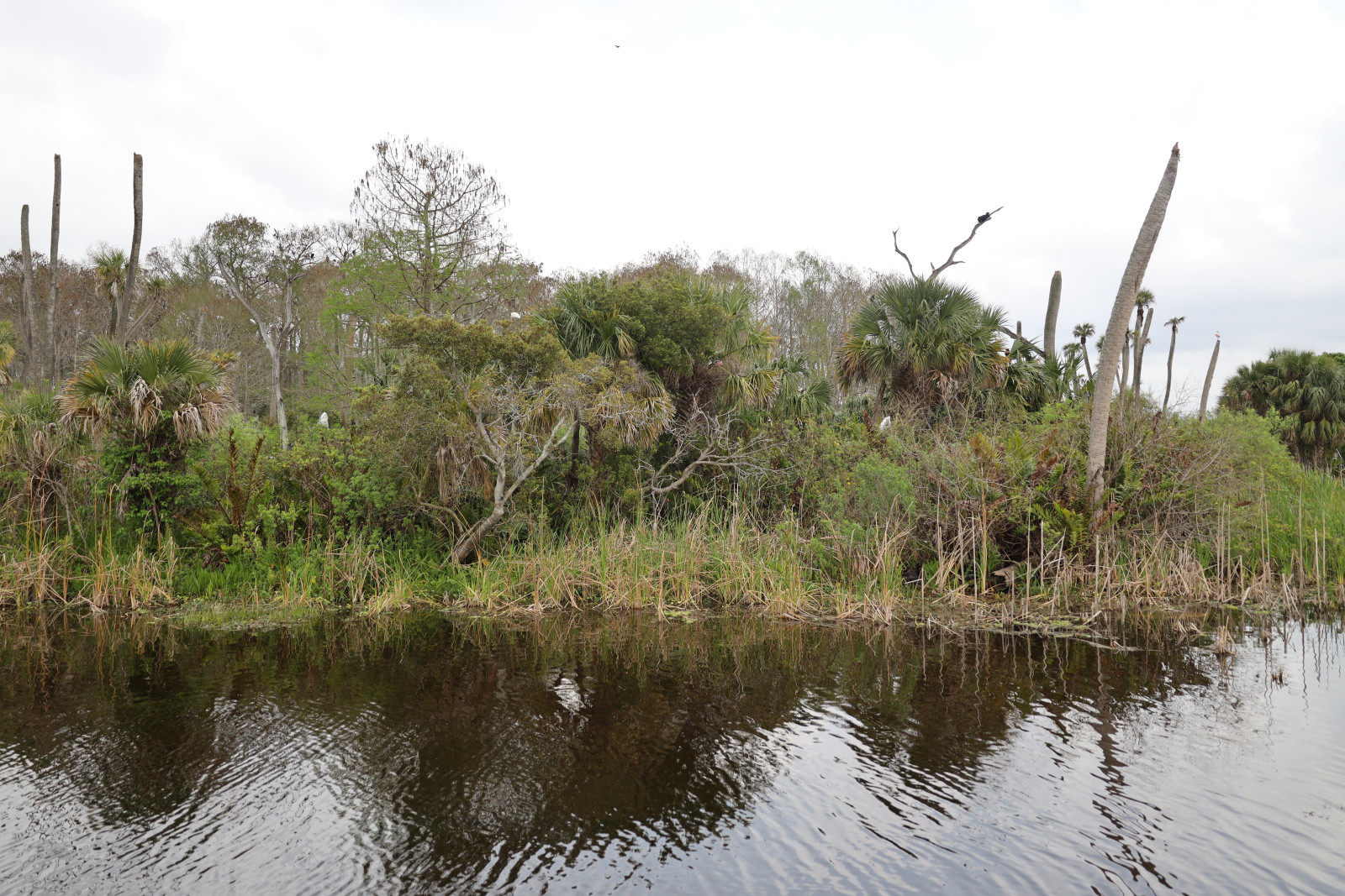
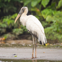
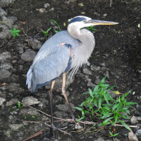
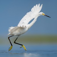
Orlando Wetlands is a large wetlands treatment facility that uses aquatic plants to polish already treated wastewater before discharging it into the St. Johns River. The many ponds where the wastewater is treated offer a rich supply of food for all types of animals. In particular, water birds such as ducks, herons, wading birds and Osprey can be observed searching for food, building nests and breeding. In winter Least Bittern and American Bittern are possible.
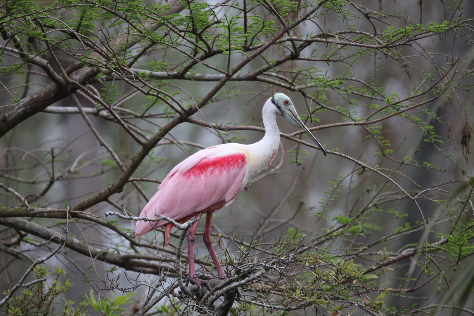
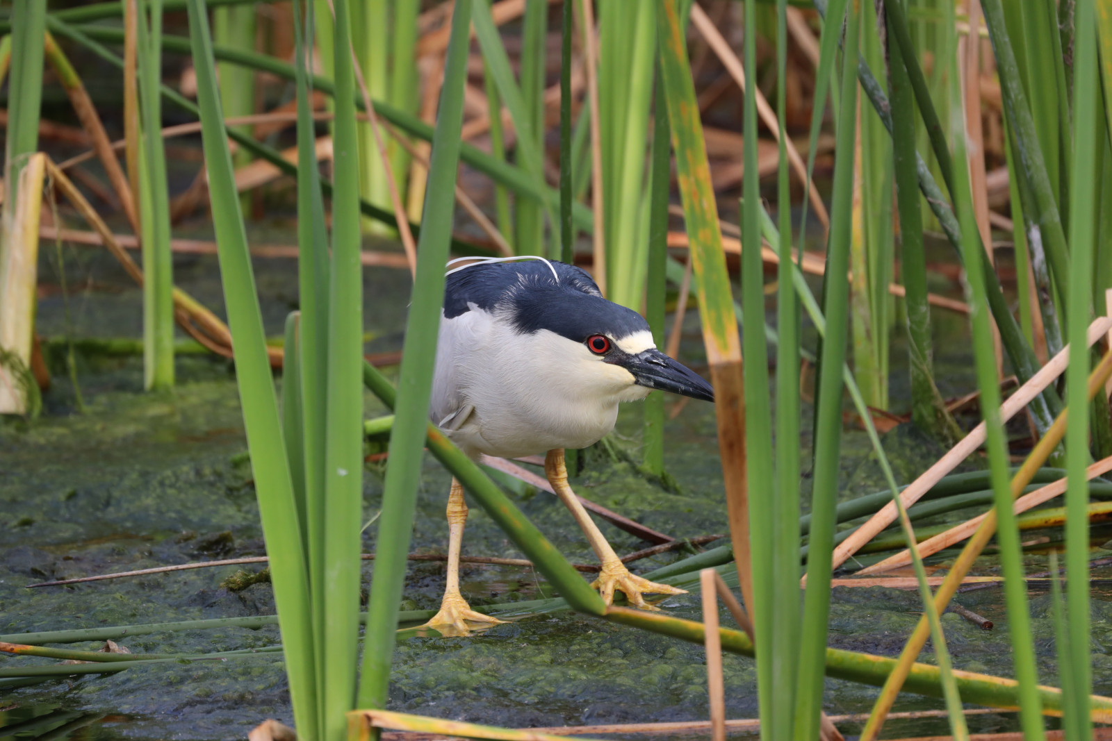
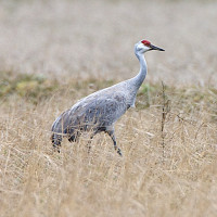
The Cypress Boardwalk runs through part of the area. Many birds can be seen from a short distance. For example Little Blue Heron, Tricolored Heron, Reddish Egret, Purple Gallinule, Sandhill Crane, Anhinga, Double-crested Cormorant, Limpkin, Roseate Spoonbill, Wood Stork, White Ibis, Glossy Ibis, Black-crowned Night Heron, Red-winged Blackbird and Boat-tailed Grackle.
Detaljer
Tillgänglighet
Orlando Wetlands is located 20 miles (35 km) east of the city of Orlando. The area is only accessible by car. There is a parking at the entrance. Click on the P in the map for directions or coordinates. Opening Hours: Tuesday to Sunday from sunrise to sunset. Admission is free. In the area itself you are only allowed to cycle, walk, drive a horse or be driven around on a trolley bus. Free trolley bus tours Friday to Sunday 9:00 a.m. to 3:00 p.m. There are picnic pavilions, barbecue areas, information boards and toilets in the entrance area. Note: Alligators live throughout the area. Observe the rules of conduct!
Terräng och habitat
Skog , Våtmark , Vassar , Slätt , Damm , Sjö , Gyttjig strandFörhållanden
Platt , Sumpigt , SandigtRundtur
JaTubkikare behövs?
Kan vara användbartBästa säsong för skådning
Året runtBästa tid för ett besök
VårRutt
Bred stig , Grusväg , Smal stigHur ansträngande vandring
Lätt vandringNås
Till fots , Cykel , RullstolFågeltorn / plattform
NejExtra information
The outlined circular route of 1,8 miles (3 km) on the map includes the Cypress Boardwalk and is a good way to see the best areas. But there are many more hiking trails.

 ) Lägg till fågelnamen på ditt egna språk, namnen kommer automatiskt översättas till andra användare.