

Beskrivning
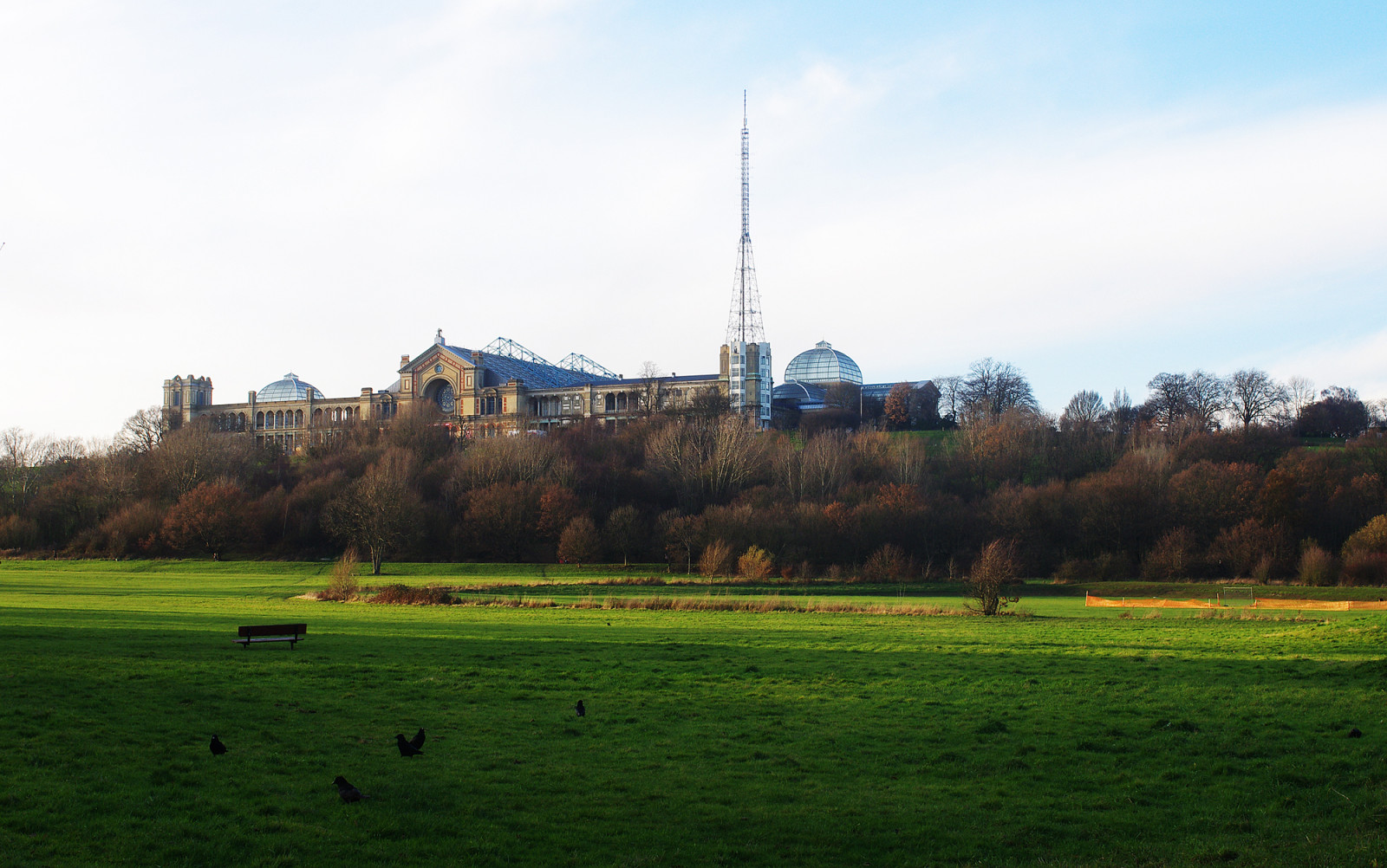
Alexandra Park is an urban park in North London, covering 79 hectares and comprising tightly mown grassland with scattered trees, and hedges, pockets of woodland and rougher grassland. The park also has a boating lake (1). The hilltop position with commanding views across the city and the Thames flood plain makes this park a productive location. Far-ranging views of the London skyline can be had from the Alexandra Palace (2) itself.
More than 180 bird species have been recorded in the park with also rarities observed like dvärgbeckasin, kornsparv and ortolansparv. The Alexandra Palace transmitter tower has been the watchpoint for a Pilgrimsfalk pair for the last couple of years which can often be found perched on the mast of the tower. During spring and autumn migration, birds such as rödstjärt, svartvit flugsnappare, grå flugsnappare, buskskvätta, svarthakad buskskvätta and stenskvätta can be found in the park, especially around the cricket pitch (3). Birds that are seen regularly include Smådopping, forsärla, dubbeltrast, rödvingetrast (in winter), halsbandsparakit, kungsfågel and törnsångare.
Detaljer
Tillgänglighet
Alexandra Park lies between Wood Green and Muswell Hill in the London Borough of Haringey. The park is on the grounds of Alexandra Palace. The W3 bus, from Northumberland Park to Finsbury Park, runs through Wood Green and then up to Alexandra Park itself. The nearest Tube station is Wood Green (4) (Piccadilly Line), but closer still is Alexandra Palace overground station (5), which is served by Great Northern services to Moorgate via Finsbury Park (both of which connect with the Underground network). However, accessing the top of the site from the overground station involves a relatively brisk 8–10 minutes walk up a steep hill. It is far easier to catch the W3 bus and ride to the stops at the top of the hill.
There are many paths the explore the park. The circular walk of 3 km shown on the map is just a suggestion.


 ) Lägg till fågelnamen på ditt egna språk, namnen kommer automatiskt översättas till andra användare.