
Beskrivning
Naturschutzgebiet Halbmatt is one of the many nature reserves around the airport. It is a landscape that provides habitat for countless animals. It has meadows, wooded areas, ponds and streams, thorn hedges, forest edge shrubs, reed edges etc. In addition to the many bird species, mammals such as beavers and others also find space. Many insects such as dragonflies and butterflies enrich the area. Comfortable paths lead through the area. The circular route can be extended at will, depending on fitness and time available. Of course, it is most exciting in spring when the birds are in courtship, building nests, etc. But at other times of the year it is also nice to walk there. Of course, one must also mention the great flora. What needs to be considered is that the area is right next to the end of the runway at Zurich Airport. The birds don't mind at all. But if you are bothered by the aircraft noise, you are in the wrong place.
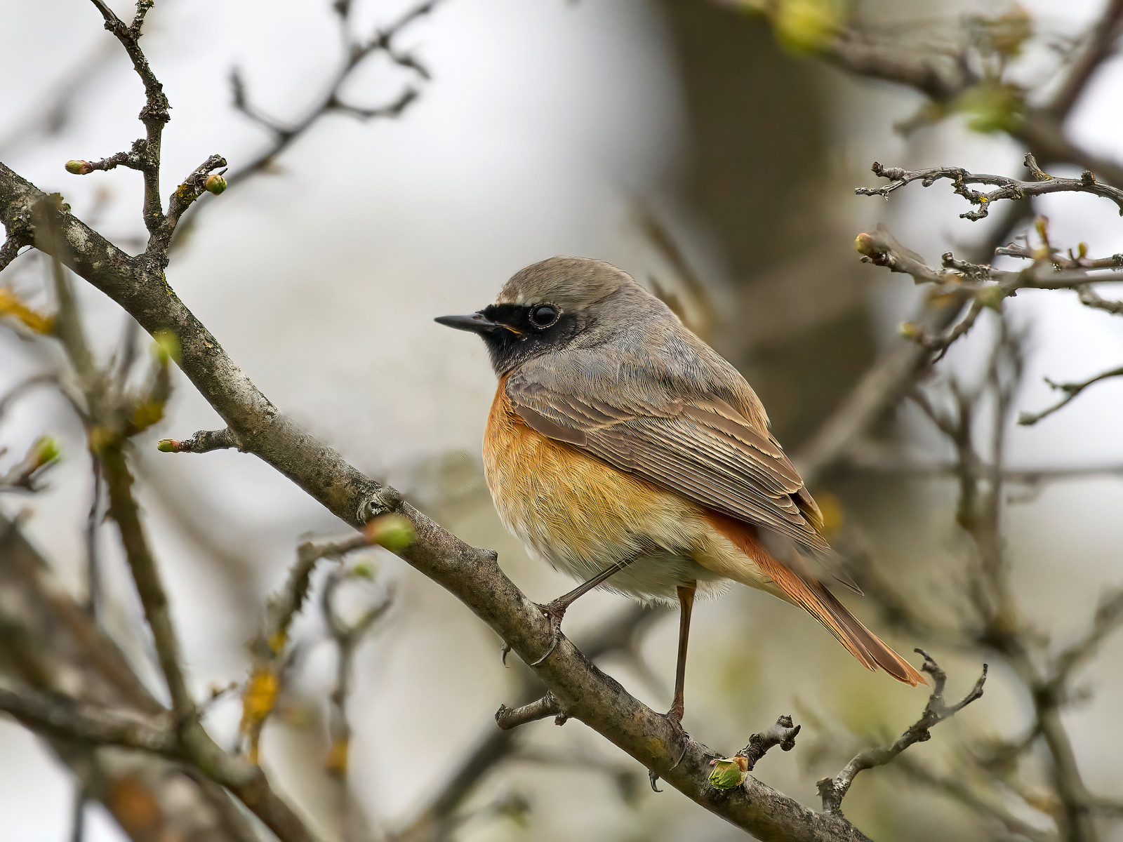
Nebenbei: es können dort Wiedehopf und Wendehals brüten. Es ist eine Anzahl Nistkästen aufgehängt. Dieser Part befindet sich vorwiegend neben dem Saumgraben wo es Wiese hat mit einzelnen, alten Bäumen.
Detaljer
Tillgänglighet
The best way to get to Naturschutzgebiet Halbmatt is by car. You can park for free for 6 hours, but you have to show a parking disc. If you don't live that far away you can go there by bike. It has partially separated roadway for bikes. Take the OEV to the Bülach train station and take the 504 bus from there. Get off at the end of the slope. There is the large parking with toilet and a snack bar. There you walk on the cycle lane about 200 meters back where you came from, i.e. more to the north. Then the road goes right into the smaller parking. The circular route starts there. The small circular route from the parking is around 3.3 km. Of course you can continue from this area to the areas: Goldenes Tor, Gstöck/Ifang, Klotener Ried, Schlosswinkel/Peterli, Winkler Allmend. Wheelchair users next to the parking take the paved path at the edge of the forest and drive to the barrier. There you turn right to the creek. There you will find the marked route. The military has training grounds there. It also has a tank track. When the military is conducting maneuvers, a part of the area is closed off.
Terräng och habitat
Skog , Våtmark , Gyttjig strand , Spridda träd och buskar , Slätt , Hed , Flod , VassarFörhållanden
Platt , Sumpigt , Ingen skugga , Öppet landskapRundtur
JaTubkikare behövs?
Kan vara användbartBästa säsong för skådning
Året runtBästa tid för ett besök
Vårsträck , HöststräckRutt
Bred stigHur ansträngande vandring
Lätt vandringNås
Cykel , Till fots , RullstolFågeltorn / plattform
NejExtra information
As mentioned, don't forget your parking disc. 6 hours are free. There is another large car park at the end of the slope. There is a toilet and a snack bar. You walk a bit across the meadow until the field path begins. The shoes can get dirty. But you can do this circular route well with a wheelchair.


 ) Lägg till fågelnamen på ditt egna språk, namnen kommer automatiskt översättas till andra användare.