

Beskrivning
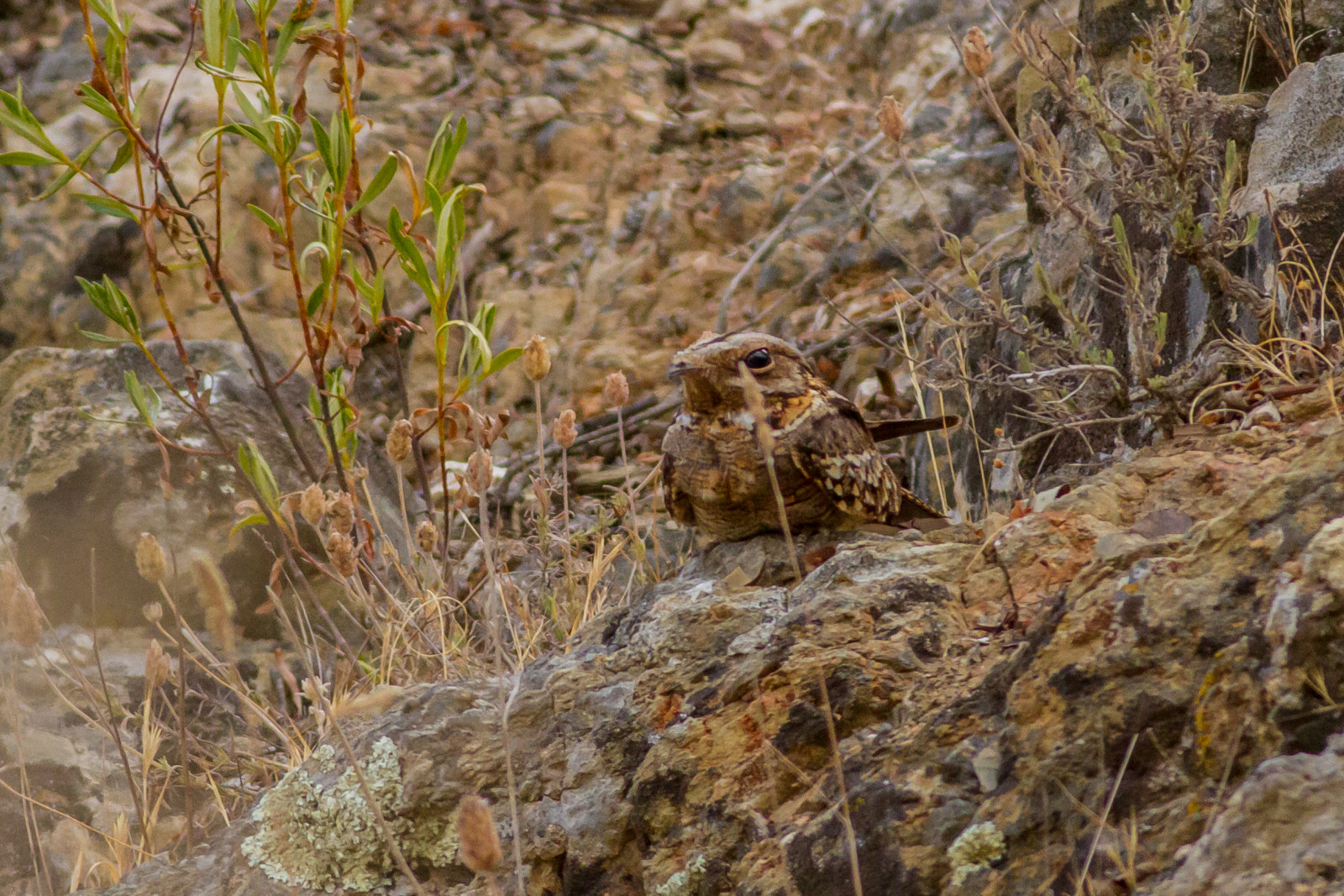
Parque Natural Los Toruños has low lying scrub with scattered patches of stone pine, ideal for passerines like provencesångare. There are many water channels and a large river which is a magnet for birds like skräntärna. In the salt flats you can find waders like svartsnäppa and svartbent strandpipare. Birds like vit stork and gråhäger come to feed on the fish that get stranded at low tide.
_________________________
Español: El Parque Natural Los Toruños presenta matorral bajo con grupos dispersos de pino piñonero, ideal para paseriformes como la provencesångare. Hay muchos canales de agua y un gran río que atrae como un imán a aves como la skräntärna. En las salinas pueden aparecer limícolas como el svartsnäppa y el svartbent strandpipare. Otras aves como la vit stork y la gråhäger vienen a alimentarse de los peces que quedan varados con la marea baja.
Detaljer
Tillgänglighet
Parque Natural Los Toruños is located between the towns of El Puerto de Santa María, Puerto Real and Cadiz. You can drive to the reserve and park on the street outside. It is not usually busy so there will be no difficulty parking. Press P on the map for directions. There are multiple paths that you can take, both long and short. There is a cheap bike rental inside the centre that is open for 24 hours. The circular route shown on the map is about 9 km.
_________________________
Español: El Parque Natural Los Toruños se encuentra entre los municipios de El Puerto de Santa María, Puerto Real y Cádiz. Se puede llegar en coche a la reserva y aparcar en la calle. No suele haber aglomeraciones, así que no tendrá dificultades para aparcar (Pulse P en el mapa para obtener indicaciones). Hay varios senderos, largos y cortos. Hay un servicio de alquiler de bicicletas económico dentro del centro, abierto las 24 horas. La ruta circular que se muestra en el mapa tiene una longitud de unos 9 km.


.jpg)

 ) Lägg till fågelnamen på ditt egna språk, namnen kommer automatiskt översättas till andra användare.