
Beskrivning
Kopaonik National Park is characterised by diverse geological substrates and relief, encompassing valleys and gorges as well as exposed rocky outcrops. At its lower altitudes it is covered by broadleaf temperate forests (oak and beech). Above 1500 m a.s.l. it is covered in dense boreal spruce forests which gradually transition into alpine shrubland of juniper and blueberry from 1750 - 1900 m a.s.l.
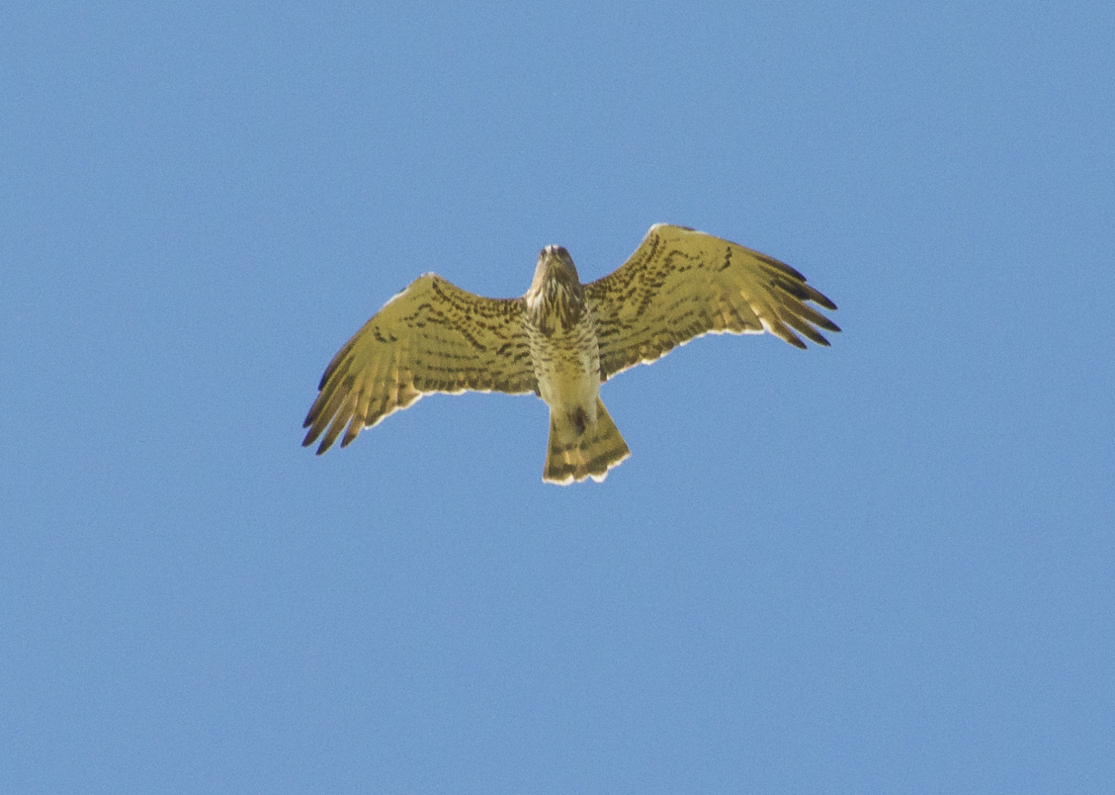
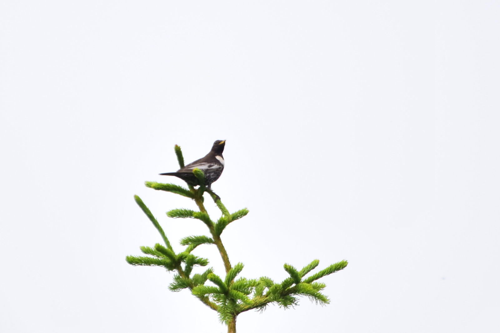
The bird fauna of Kopaonik National Park consists of 173 bird species, with about 115 species nesting. Some of the birds which can be observed in the area are berglärka (rare), slaguggla (rare), svartmes, nötkråka, brandkronad kungsfågel, dubbeltrast, buskskvätta, järnsparv, Gröngöling, forsärla, Bivråk, spillkråka, stenskvätta, rapphöna, lärkfalk, törnskata, tofsmes, klippsvala ringtrast, Mindre korsnäbb, trädkrypare, trädgårdsträdkrypare, trädpiplärka, lövsångare and domherre.
Kopaonik National Park is also a home to 40 species of mammals, including Red Deer, Chamois, Eurasian Lynx, Wild Boar, Grey Wolf and Brown Bear (rare, non-resident), 9 species of amphibians and 12 species of reptiles.
Detaljer
Tillgänglighet
Kopaonik National Park is reachable by car or by bus from Belgrade or nearby towns (Raška). There is plenty of parking space in the settlement near the mountain top and the surrounding peaks are explorable on foot, by bicycle or by SUV. There are many hotels or apartments to let in the area, as well as other tourist facilities. However, the closest gas stations are in Brzeće village or in Raška town. If you are arriving by car, plan ahead and fill your tank before the ascent if necessary. Click on a P in the map for directions or coordinates.
The drawn route goes from Konaci to Karaman Greben, Mali Karaman peak, Jaram and Velika Gobelja peak. The route is accessible on foot, by a mountain bike or an SUV. It goes along the edge of a spruce forest and through an alpine shrubland. Most typical montane bird species can be expected here.
Terräng och habitat
Berg , Skog , Spridda träd och buskar , Platå , Kanjon/klippa , Hed , SlättFörhållanden
Klippigt , Kulligt , BergigtRundtur
NejTubkikare behövs?
Kan vara användbartBästa säsong för skådning
Vår , Sommar , HöstBästa tid för ett besök
Sommar , VårRutt
Grusväg , Bred stigHur ansträngande vandring
Genomsnittlig vandringNås
Till fots , Bil , CykelFågeltorn / plattform
NejExtra information
The best time to visit Kopaonik National Park is during the late spring/summer (best June to July). Winters are long, with snowfall from November to May.
Länkar
- Kopaonik National Park official website
- Sunčana Dolina eBird hotspot
- Gobelja eBird hotspot
- Vučja Staza (Karaman Greben, Mali Karaman) eBird hotspot
- Barchart eBird of all 10 Kopaonik hotspots


 ) Lägg till fågelnamen på ditt egna språk, namnen kommer automatiskt översättas till andra användare.