Beskrivning
The observation site is located on the border of an ornithological reserve. The place is available stationary when the water level in the Jeziorsko reservoir is high. In the second part of summer and autumn it is possible to walk along the river bank. The terrain is flat and marshy, with tall grasses and riparian vegetation. Appropriate clothing and footwear are necessary.
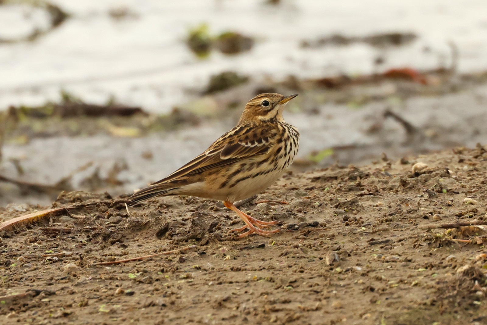
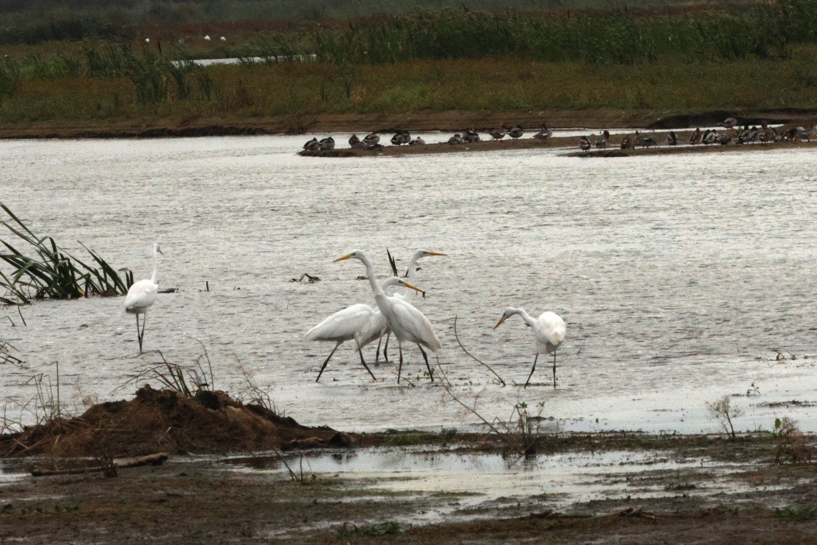
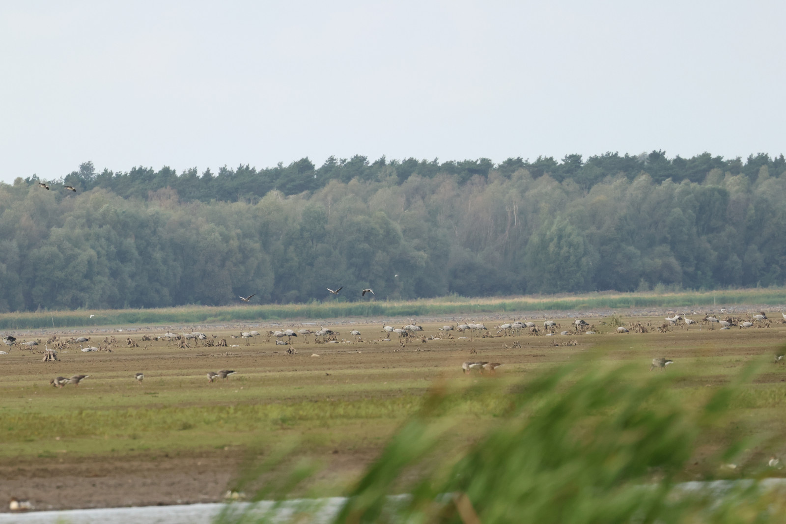
A visit to this place can be a great addition to observations carried out around the Jeziorsko reservoir. Birds can be observed from shorter distances than in other places. Lush vegetation allows the observer to hide in the field.
___________________
Polski: Miejsce obserwacji znajduje się na pograniczu rezerwatu ornitologicznego. Miejsce dostępne jest stacjonarnie w czasie kiedy w zbiorniku Jeziorsko jest wysoki poziom wody. W drugiej części lata i jesienią możliwy jest spacer wzdłuż brzegu rzeki. Teren jest płaski i podmokły, występują wysokie trawy i roślinnośc nadbrzeżna. Konieczna jest odpowiednia odzież i obuwie.
Wizyta w tym miejscu może być świetnym uzupełnieniem obserwacji prowadzonych wokół zbiornika Jeziorsko. Ptaki dostępne są z mniejszych odległości, niż w pozostałych miejscach. Bujna roślinność umożliwia obserwatorowi ukrycie się w terenie.
Detaljer
Tillgänglighet
The parking space is located right at the exit from the asphalt road. Click on the P in the map for directions. From the parking you can explore the area on foot. The hiking route (according to the map) is marked in the water - but in reality, when the water level is low, it leads along the shore. Due to the lack of a map illustrating the river bank, the route is drawn this way.
___________________
Polski: Miejsce parkingowe znajduje się tuż przy zjeździe z drogi asfaltowej. Kliknij na P aby uzyskać wskazówki dojazdu. W terenie można poruszać się pieszo.
Trasa wędrówki (zgodnie z mapą) wytyczona jest w wodzie - jednak w rzeczywistości , przy niskim poziomie wody, wiedzie wzdłuż brzegu. Z powodu braku mapy ilustrującej brzeg rzeki - trasa narysowana jest w sposób przybliżony.


 ) Lägg till fågelnamen på ditt egna språk, namnen kommer automatiskt översättas till andra användare.