

Beskrivning
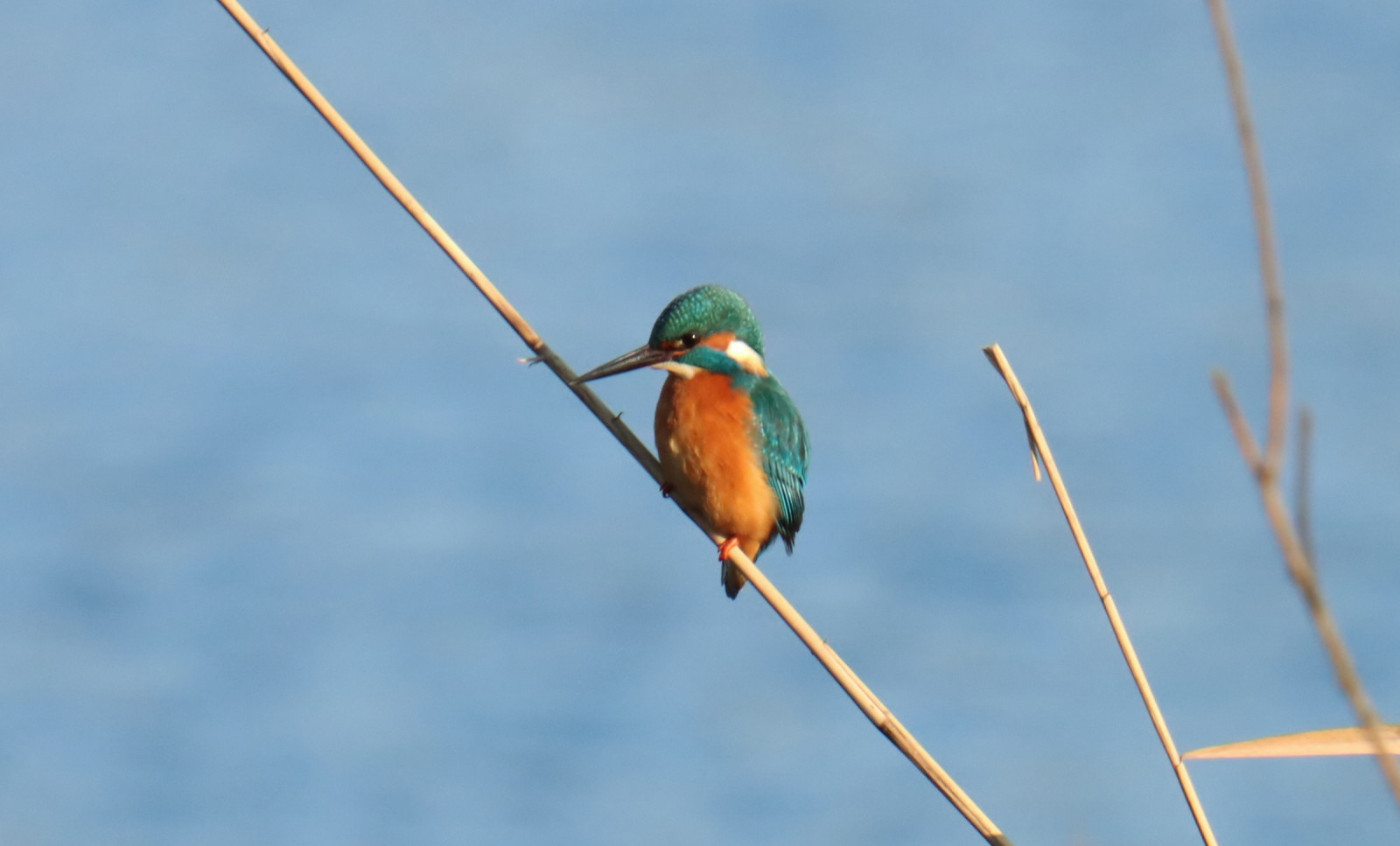
The Markdal is a green meadow valley and water area near Breda around the brook De Mark. You will find waterfowl such as snatterand, gravand and gräsand, but sometimes also other nice birds, such as vit stork (with nest) kungsfiskare, sparvhök, skedstork en rörsångare. The area has a beautifully landscaped walking path (unpaved) and cycling path (paved) that starts in the city of Breda and continues to the Belgian border. In wet weather, the walking path can only be walked in boots. You can also easily make the shortcut to the nearby Mastbos.
_________________________
Nederlands: Het Markdal is een groen weide en watergebied bij Breda rondom de beek De Mark. Je vind er watervogels zoals snatterand, gravand en gräsand, maar soms ook andere mooie soorten, zoals vit stork (met nest), kungsfiskare, sparvhök, skedstork en rörsångare. Het gebied heeft een mooi aangelegd wandelpad (onverhard) en fietspad (verhard) dat begint in de Bredase wijk Ginneken nabij horecagelegenheden en doorloopt tot aan de Belgische grens. Bij nat weer is het wandelpad deels alleen te lopen met laarzen aan. Ook kun je gemakkelijk de doorsteek maken naar het nabijgelegen Mastbos.
Detaljer
Tillgänglighet
You can explore the area on foot or by bike. If you come on foot or by bike, the starting point of the walking/cycling path is easy to reach from the Duivelsbrug. If you come by car, you can park at Restaurant Bouvigne Paradijs or at De Kogelvanger Eten & Drinks on the Galderseweg and walk/cycle into the area from there. You can also go through it by canoe/kayak, but not with a motorized boat, as there are a number of locks in the water (crossing area available for the canoe/kayak). Click on a P in the map for directions.
_________________________
Nederlands: Je kunt het gebied zowel te voet als met de fiets verkennen. Kom je te voet of met de fiets, dan is het startpunt van het wandel/fietspad gemakkelijk te bereiken vanaf de Duivelsbrug. Kom je met de auto, dan kun je parkeren bij Restaurant Bouvigne Paradijs of bij De Kogelvanger Eten & drinken aan de Galderseweg en vanaf daar het gebied in lopen/fietsen. Je kunt er ook doorheen met de kano/kajak/sup, maar niet met een gemotoriseerde boot, aangezien er een aantal sluizen in het water zitten (oversteekplaats aanwezig voor de kano/kajak/sup). Klik op een P in de kaart voor een routebeschrijving.


 ) Lägg till fågelnamen på ditt egna språk, namnen kommer automatiskt översättas till andra användare.