Beskrivning
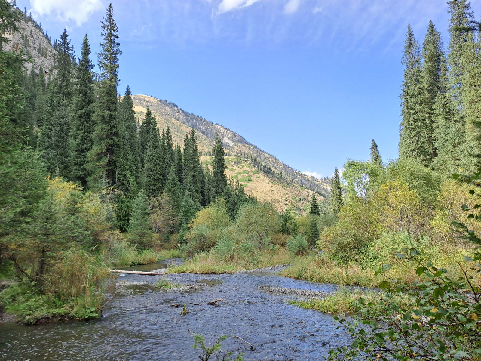
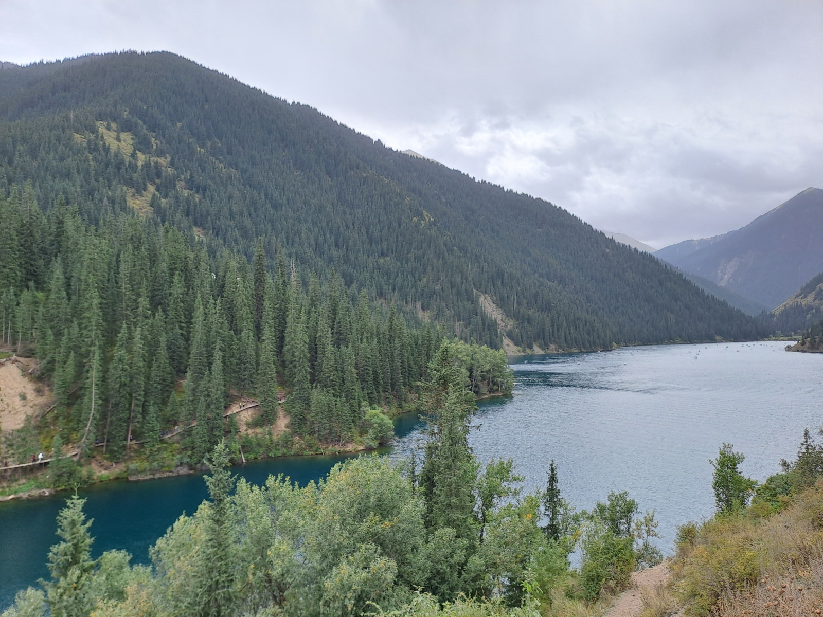
Kolsay belongs to the World Network of Biosphere Reserves and the lakes consist of typical mountain lakes with azure water surrounded mainly by coniferous forests and mountain slopes. The three lakes are connected by the Kolsay River and are located in the foothills of the Tian Shan Mountains. The area consists of several biotopes such as: dense coniferous forest, mixed forest, fast-flowing river, tidal forests, montane meadows, open water and stony mountain slopes.
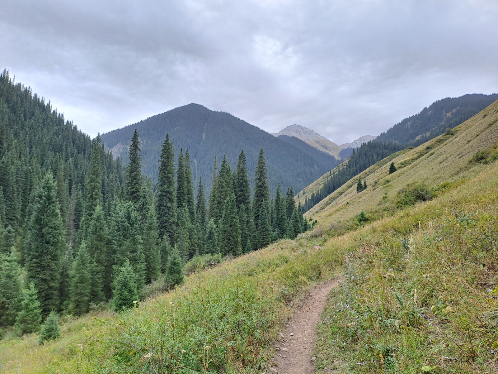
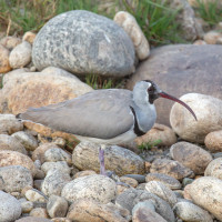
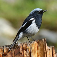
A hiking trail runs along the lakes, taking you through various habitats and gaining altitude. Spring and summer offer opportunities to observe various songbirds found only in the Tian Shan Mountains and adjacent forests. These include coniferous and mixed forest species such as White-browed Tit-Warbler, Azure Tit, Blue-capped Redstart, Songar Tit, Eversmann's Redstart and Nutcracker (ssp rothschildi). The White-winged Grosbeak may also occur in areas with spruce trees within Kolsay. On the mountain slopes and treeline transitions, montane species such as Golden Eagle, Sulphur-bellied Warbler, Eurasian Black Vulture, and Rock Bunting can be seen. Where the river has deposited pebble banks, there is a chance of seeing Ibisbill.
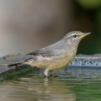
The lakes are typical mountain lakes with few water birds or wading birds. The Grey Wagtail is easy to spot, and during migration, various ducks and wading birds can be seen, such as Common Sandpiper and Northern Shoveler.
Detaljer
Tillgänglighet
Kolsay is accessible from Saty by car and public transport. To fully explore Kolsay, there's a hiking trail that connects the three lakes. The hike starts at the northernmost lake, where you can park your car and find several restaurants and restrooms. Press P on the map for directions.
The hiking trail runs along the west side of the lakes. Please note that the entire hike is a 15-kilometer hike. It's possible to hike from the first to the second lake and back in one day. Part of the trail also serves as a horse trail. For those with limited mobility, a paid horseback ride is an option.

 by Imran Shah from Islamabad, Pakistan, CC BY-SA 2.0 httpscreativecommons.orglicensesby-sa2.0, via Wikimedia Commons.jpg)
 ) Lägg till fågelnamen på ditt egna språk, namnen kommer automatiskt översättas till andra användare.