Beskrivning
Gavdos is the southernmost Greek island, located to the south of the much larger island of Crete. The island is rocky and hilly and roughly triangular in shape. Its highest point is Mount Vardia with 345 metres. Gavdos has been designated by BirdLife International as an Important Bird Area. Gavdos has forests of pines and junipers, olive groves and a variety of other vegetation, such as maquis.
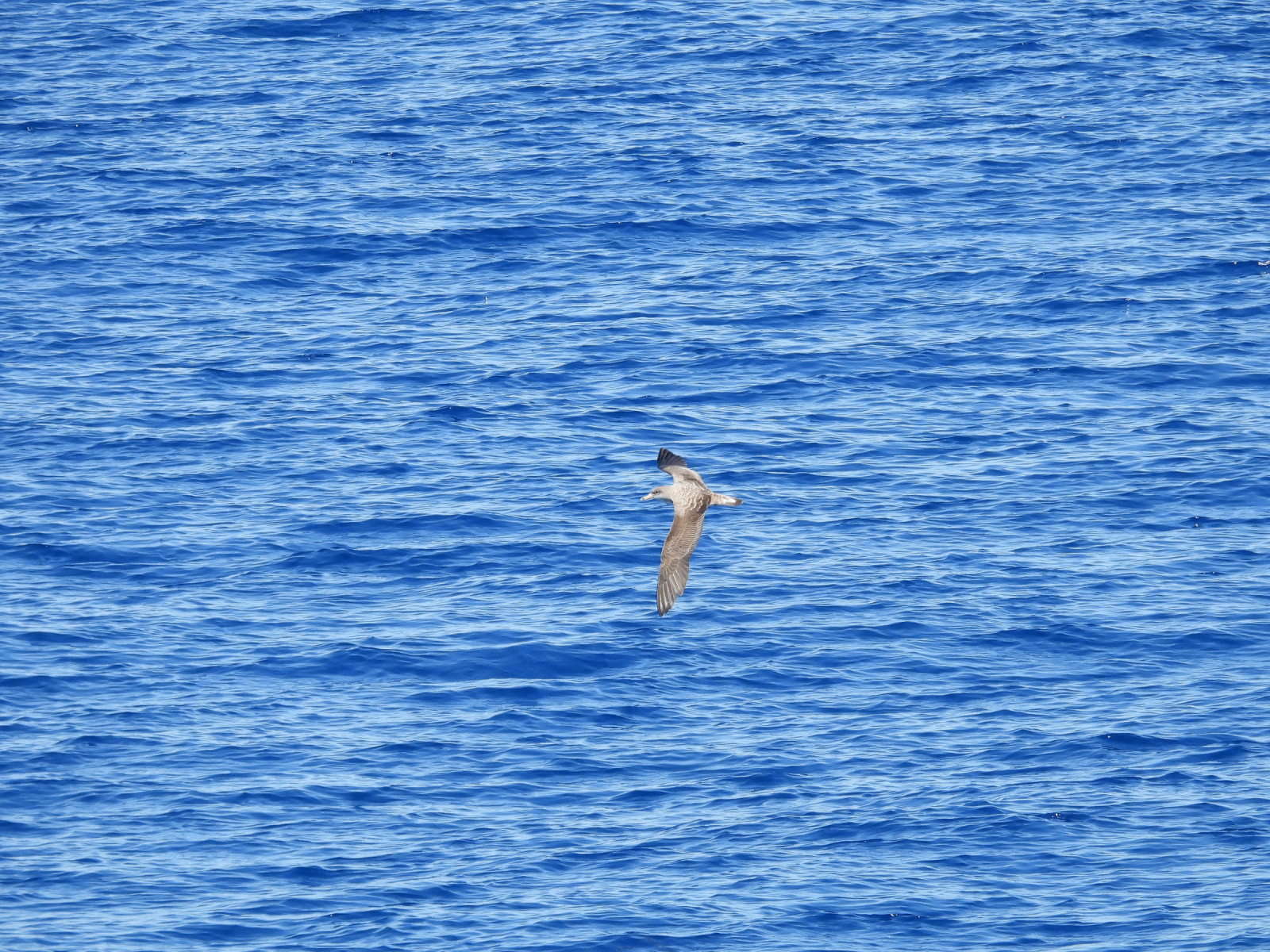
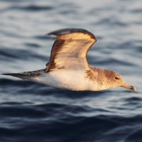
During bird migration in spring many birds make a stopover on the island. For example in the spring of 2024 at the Gavdos Bird Observatory, 74 bird species were ringed. The most abundant species were trädgårdssångare (705), biätare (373), grå flugsnappare (342) and svarthätta (281).
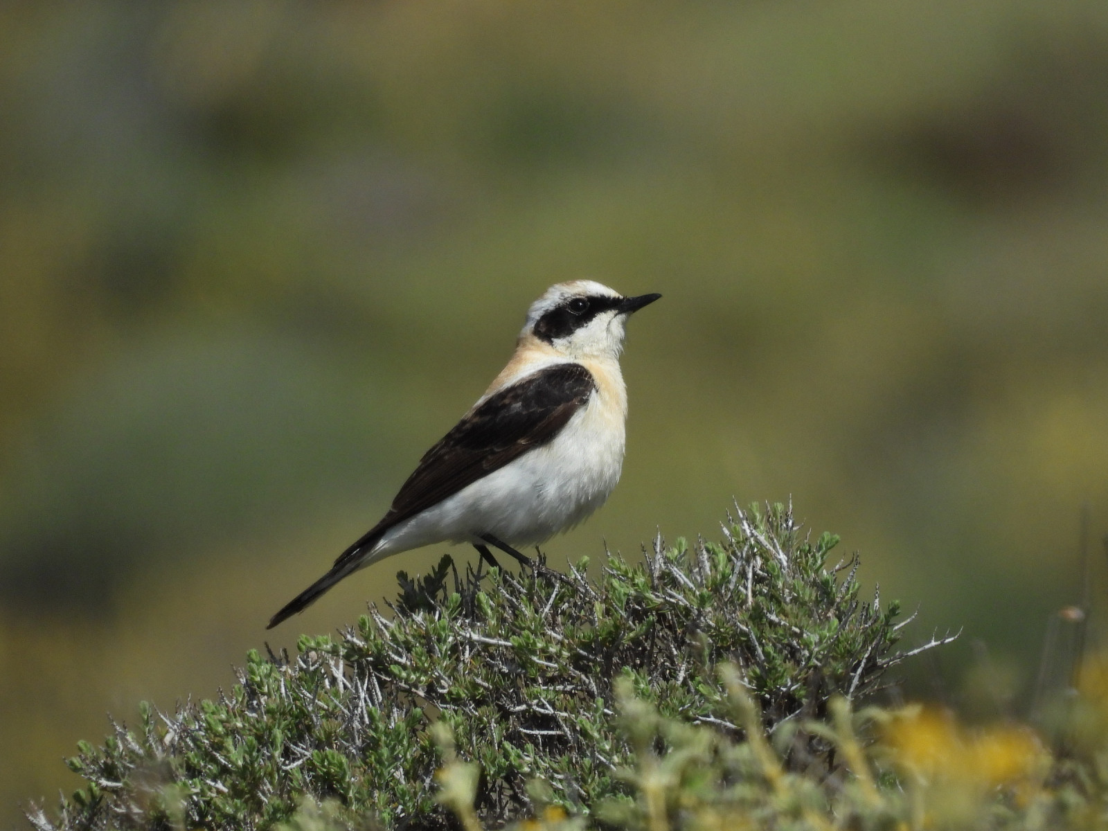
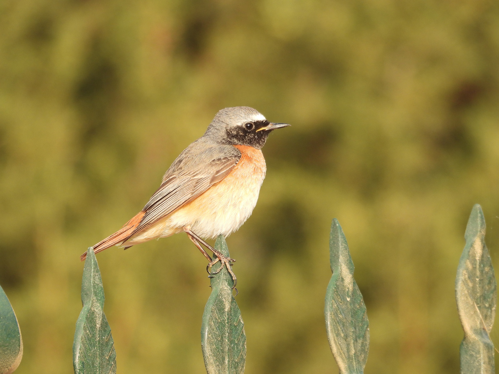
Among the other bird species you can encounter on the island or have been recorded on the island are turturduva, berghöna, nattskärra, dubbelbeckasin, toppskarv ,rallhäger, Bivråk, brun kärrhök, dvärguv, grön biätare, blåkråka, eleonorafalk, rödhuvad törnskata, eksångare, balkansångare, balkanflugsnappare, blåtrast, isabellastenskvätta, medelhavsstenskvätta, spansk sparv, ökentrumpetare and Scopolilira.
Detaljer
Tillgänglighet
Gavdos is only accessible by ferry from the island of Crete from the small harbours of Paleochora and Chora Sfakion. The ferry company is called Anendyk (see the link below). Mostly the small car ferry departs 3 days a week from Paleochora (e.g.Monday to Wednesday) and 3 days from Chora Sfakion (e.g. Thursday to Saturday). Always check the departure times on the website as there are constant changes.
The island is 25 Km2 with quit good roads. Best to travel by car. In the low season, buses only run the route between Karave (harbor) - Sarakiniko and Agios Ioannis. During the summer months, all villages on the island are served daily. There are good possibilities to hike on the island as there are many paths and roads you can explore on foot. On the map you see some options for walking.


 ) Lägg till fågelnamen på ditt egna språk, namnen kommer automatiskt översättas till andra användare.