
Beskrivning
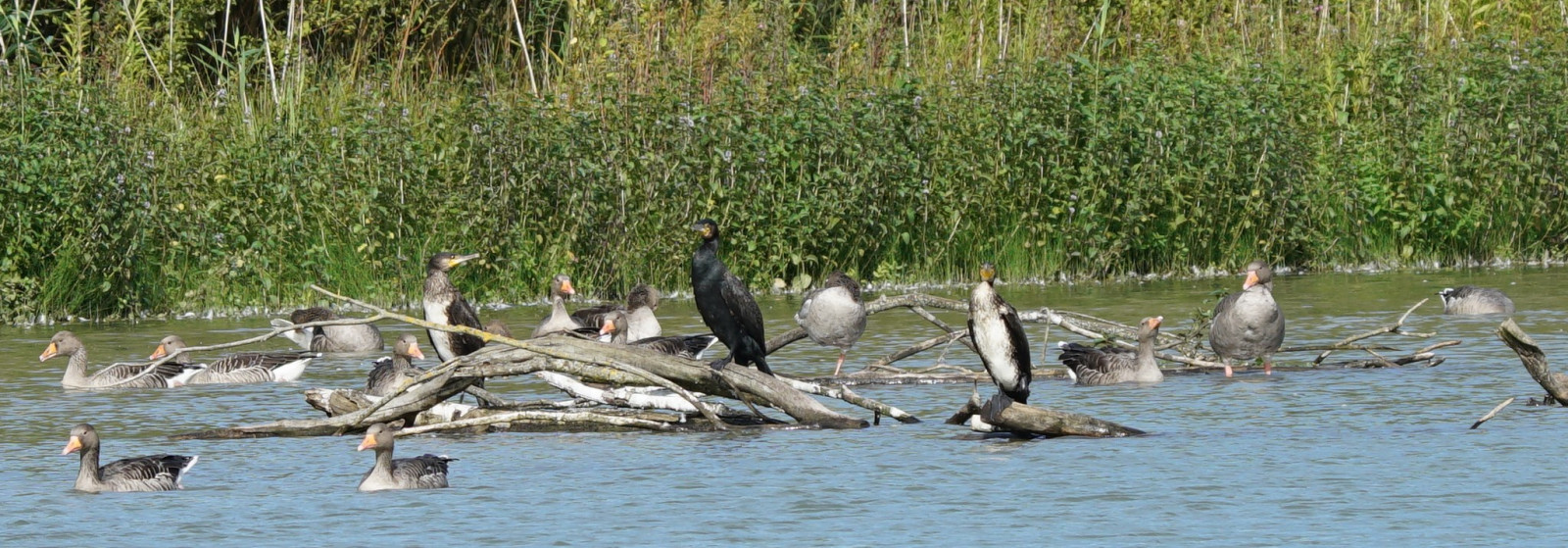
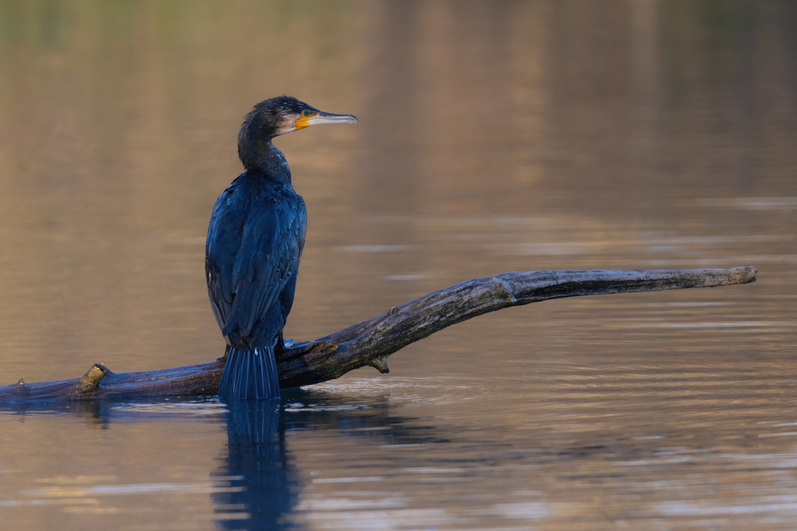
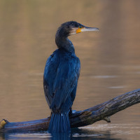
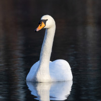
Brelingen Kiesteich has a water surface of 12 hectares and is a maximum of 6 m deep. The total biotope area is around 24 hectares. The pond is managed by the Neustadt Rbge e.V. fishing club. In collaboration with the Hanover Region, the pond was also made available for recreational use. A path leads 2/3 around the pond. Among the birds you can see in the area are stripgås, nilgås, grågås, gråhäger, Storskarv, gräsand, knölsvan and sothöna. At times big groups of grågås can be observed.
Detaljer
Tillgänglighet
Brelingen Kiesteich is located directly above the village of Brelingen. There is a parking lot in the southwest corner of the area. Click on the P in the map for directions. S-Bahn from Hannover to Bennemühlen, bus to Brelingen Windmühlenberg. The circular walking route indicated on the map is about 2 km.


 ) Lägg till fågelnamen på ditt egna språk, namnen kommer automatiskt översättas till andra användare.