Beskrivning
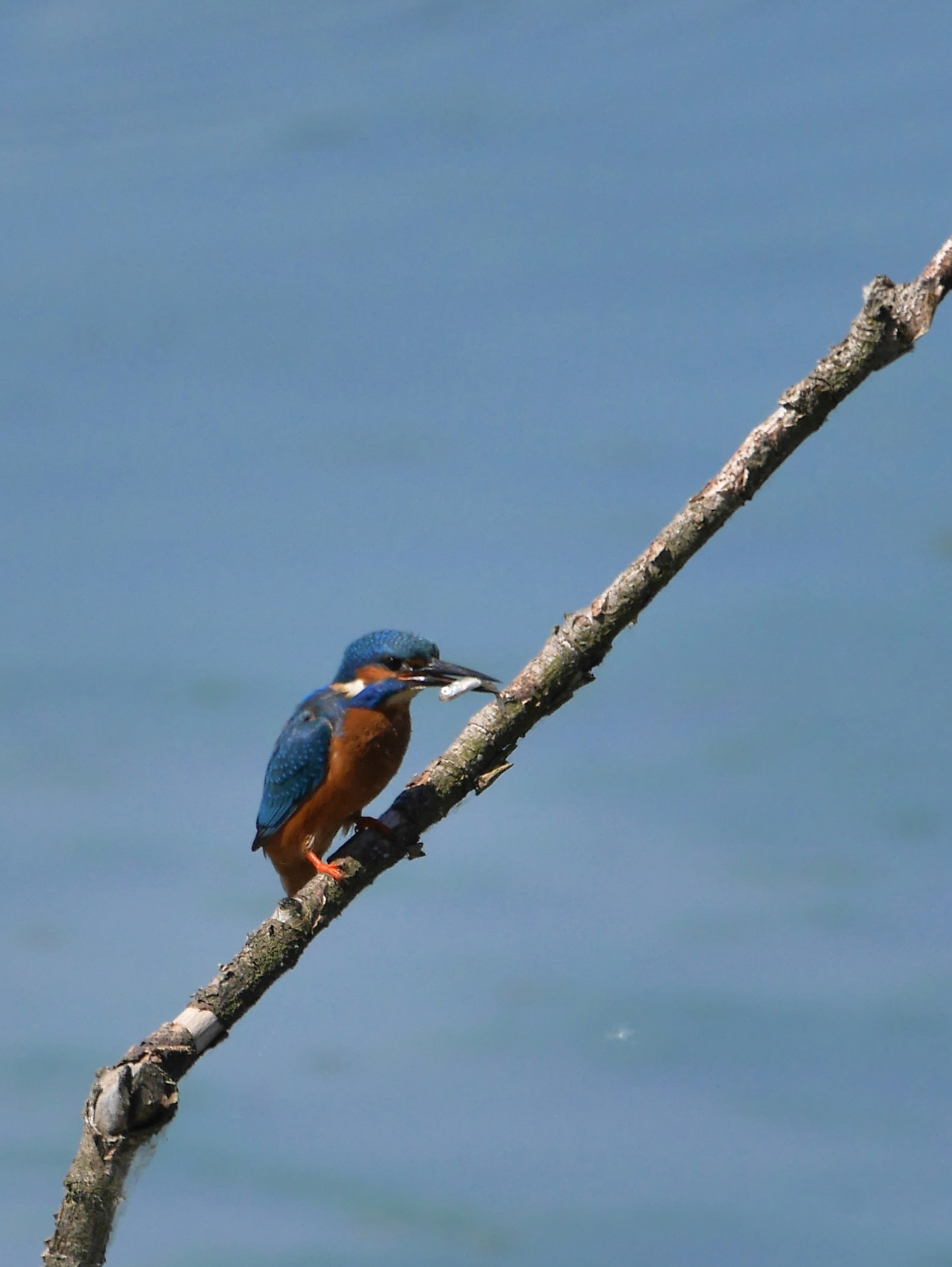
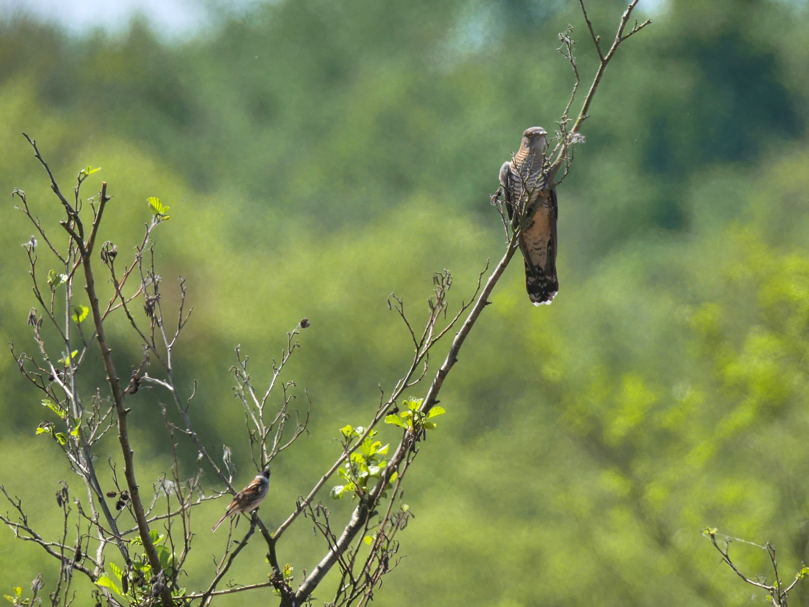
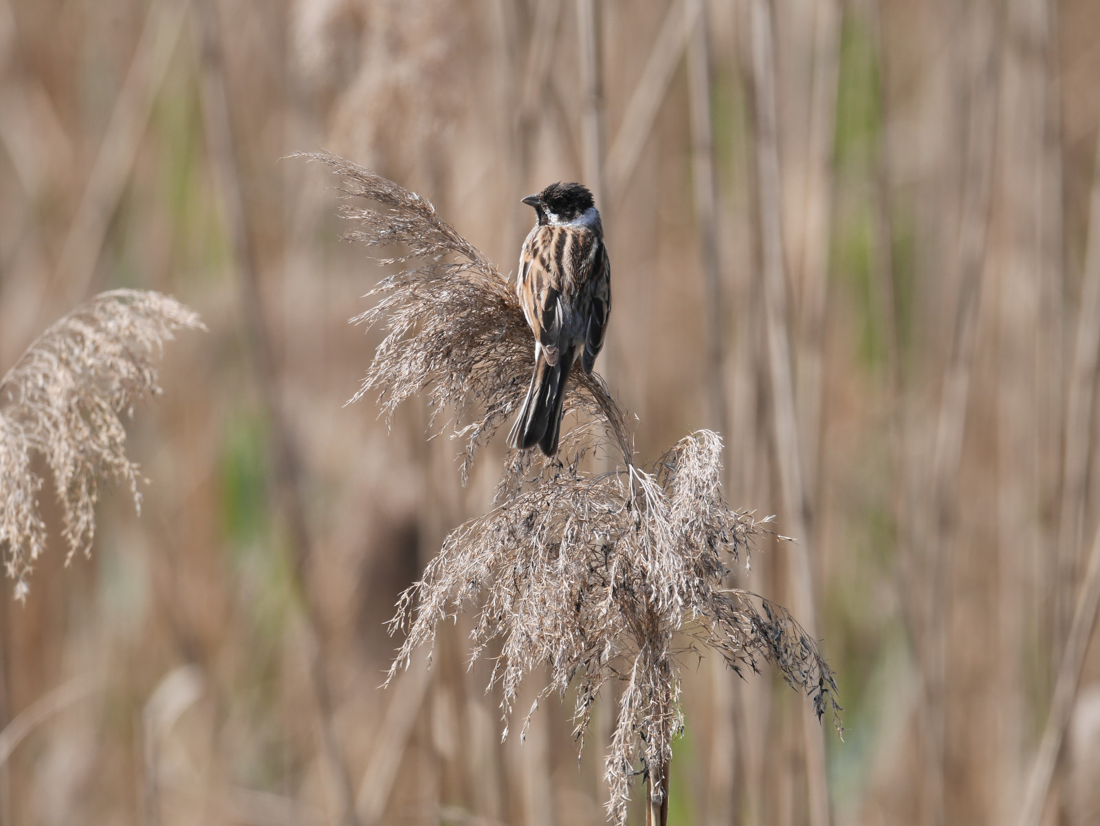
Rohrmatten is an observatory in the Ried de l'Illwald Nature Reserve. 2000 hectares of forests, wet meadows and marshes, allow the observation of breeding birds (such as grågås, purpurhäger, tofsvipa or brun kärrhök in the marsh) , many vit stork, or migratory (Fiskgjuse). The grasslands are home to the very shy kornknarr. The forests and meadows offer the possibility of observing European fallow deer (Dama dama), all woodpeckers in France ( större hackspett , mellanspett , spillkråka , gråspett and mindre hackspett ), the Nötväcka or the sommargylling. The gök is also very well represented.
_________________________
Français: Située au coeur de la plaine d'Alsace, l'Illwald préserve une zone humide exceptionnelle de 2000ha reconnue au niveau Européen. 2000ha de forêts, prairies humides et de marais, permettent l'observation d'oiseaux nicheurs (tels que grågås, purpurhäger , tofsvipa ou brun kärrhök dans le marais), de nombreuses vit stork, ou migrateurs ( Fiskgjuse). Les prairies hébergent le très discrêt kornknarr . Les forêts et prairies offrent la possibilité d'observer le Daim européen (Dama dama), tous les pics de France ( större hackspett , mellanspett , spillkråka , gråspett et mindre hackspett ), les Nötväcka ou le sommargylling . Le gök est très bien représenté.
Detaljer
Tillgänglighet
Car park: 48.246467, 7.458826 (to access the observatory, after the bridge next to the car park, follow the path on the right which runs along the road. Pass the footbridges over the small dams and continue to the left, along River). Be careful, the parking lot and access to the trails can be very muddy in wet weather. WHEELCHAIRS: Several paths are wide and flat, so practicable but unfortunately, access to the observatories is not possible.
Watch out for the water level!! The whole area is subject to flooding (alluvial plain). Water levels can be viewed on the website https://www.vigicrues.gouv.fr/ Select the station on the Ill river north of Colmar (Ladhof station) to get an idea. Above 1.2 meters, access to the observatory can be complicated. Above 2m, it is very likely that the paths are no longer passable.
_________________________
Français: Parking : 48,246467, 7,458826 (pour accéder à l'observatoire, après le pont à côté du parking, suivre le chemin de droite qui longe la route. Passer les passerelles sur les petits barrages et continuer à gauche, le long de la rivière). Attention, le parking et l'accès aux sentiers peut être très boueux par temps humide. En général, praticable en poussette tout terrain. FAUTEUILS ROULANTS : Plusieurs sentiers sont larges et plats, donc praticables mais hélas, l'accès aux observatoires n'est pas possible (séries de palplanches trop étroits + marches).
Attention au niveau d'eau !! Tout le secteur est inondable (plaine alluviale). Les niveaux d'eau sont consultable sur le site https://www.vigicrues.gouv.fr/ Sélectionner la station sur la rivière l'Ill au nord de Colmar (station Ladhof) pour se faire une idée. Au dessus d'1,2 mètres, l'accès à l'observatoire peut être compliqué. Au dessus de 2m, il est très probable que les chemins ne soient plus praticables.


 ) Lägg till fågelnamen på ditt egna språk, namnen kommer automatiskt översättas till andra användare.