

Beskrivning
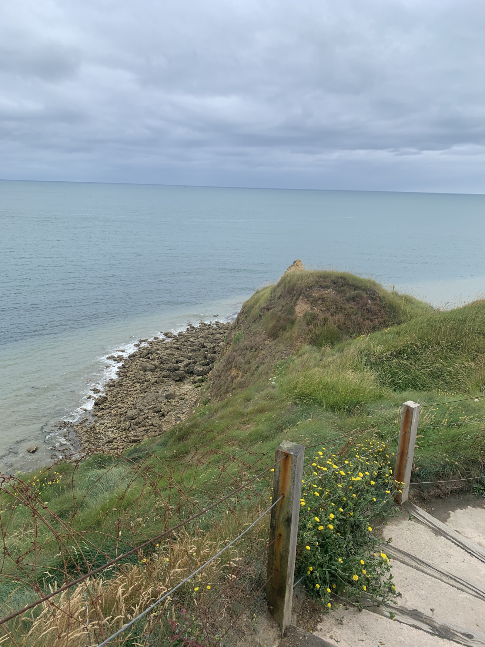
Pointe du Hoc is a prominent cliff on the coast of Normandy that played a significant role during World War II, particularly during the D-Day landings on June 6, 1944. Today, Pointe du Hoc is a memorial site, with remnants of the bunkers and bomb craters still visible.
In the first part of the circular walking route shown on the map you can observe songbirds such as hämpling or ängspiplärka and many other species. Along the coast you can observe tretåig mås, sillgrissla and many other seabirds. A good place for seawatching!
Detaljer
Tillgänglighet
Pointe du Hoc is located on the northwestern coast of Normandy situated between Omaha Beach and Utah Beach. There is a big parking lot for visitors. Press P on the map for directions to the parking. The circular walking route shown on the map is about 1,5 km.
Terräng och habitat
Slätt , Hav / ocean , DynerFörhållanden
Sandigt , Ingen skugga , Kulligt , DammigtRundtur
JaTubkikare behövs?
Kan vara användbartBästa säsong för skådning
Året runtBästa tid för ett besök
Vår , HöstRutt
Bred stigHur ansträngande vandring
Lätt vandringNås
Till fots , RullstolFågeltorn / plattform
NejExtra information
On D-Day, the United States Army Rangers, led by Lieutenant Colonel James Earl Rudder, scaled the 30-meter-high cliffs to capture the German positions. Despite facing heavy resistance and difficult terrain, the Rangers successfully took control of the area, which was crucial for the success of the Normandy landings.


 ) Lägg till fågelnamen på ditt egna språk, namnen kommer automatiskt översättas till andra användare.