Beskrivning
The Lioux Cliff, also known as the Madeleine Cliff, is a breathtaking geological landmark in the Luberon region. This towering limestone escarpment stretches approximately 7 kilometers and rises 80 meters above the surrounding landscape. It was formed over 30 million years ago by tectonic activity that shaped the Monts de Vaucluse, creating the dramatic vertical face that dominates the area.
The habitats around the cliff are diverse and rich in biodiversity. Limestone cliffs and rocky outcrops provide crucial nesting sites for birds, while the surrounding garrigue - characterized by aromatic shrubs and herbs - supports a variety of plants and animals. At the base of the cliff, fertile fields and vineyards flourish, adding to the beauty and productivity of the landscape.
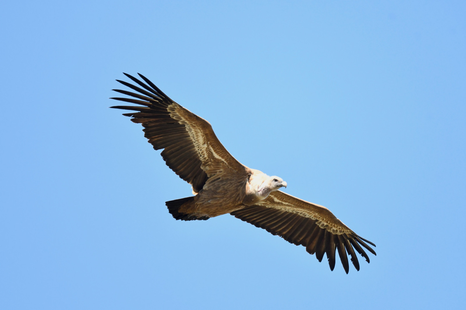
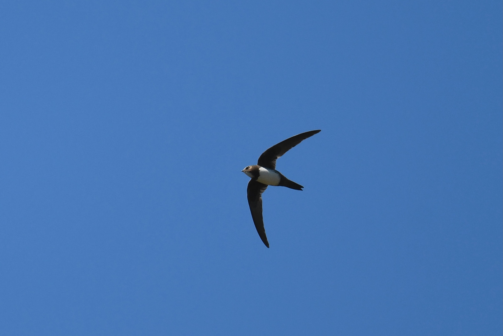
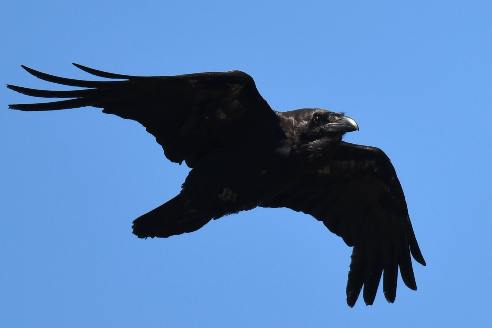
Bird enthusiasts will find the Lioux Cliff a rewarding destination, as it hosts a variety of species across the seasons. In spring and summer, you can find species like klippsvala, alpseglare, gåsgam, korp, Bivråk, ormörn and rödstrupig sångare. The melodious blåtrast can often be spotted perched on ledges. During autumn and winter, visitors might catch a glimpse of the alpjärnsparv , which descends from higher altitudes to forage, or the elusive murkrypare.
What makes the Lioux Cliff truly special is its combination of geological grandeur and ecological richness. The views from the top are nothing short of spectacular, offering panoramic vistas of the Luberon region. The cliff’s accessibility and the variety of wildlife it supports make it a fantastic spot for nature lovers and birdwatchers, blending natural beauty with opportunities for exploration and discovery.
Detaljer
Tillgänglighet
The Madeleine Cliff is located near the village of Lioux. There are several parking spots in the area with enough space to park any vehicle. Press P on the map for directions to a parking spot. The circular walking route shown on the map is about 7 km.


 ) Lägg till fågelnamen på ditt egna språk, namnen kommer automatiskt översättas till andra användare.