
Beskrivning
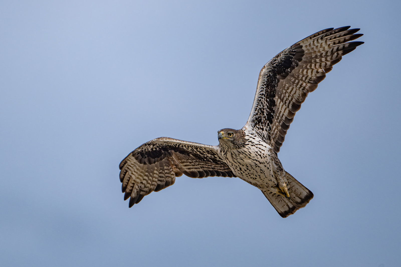
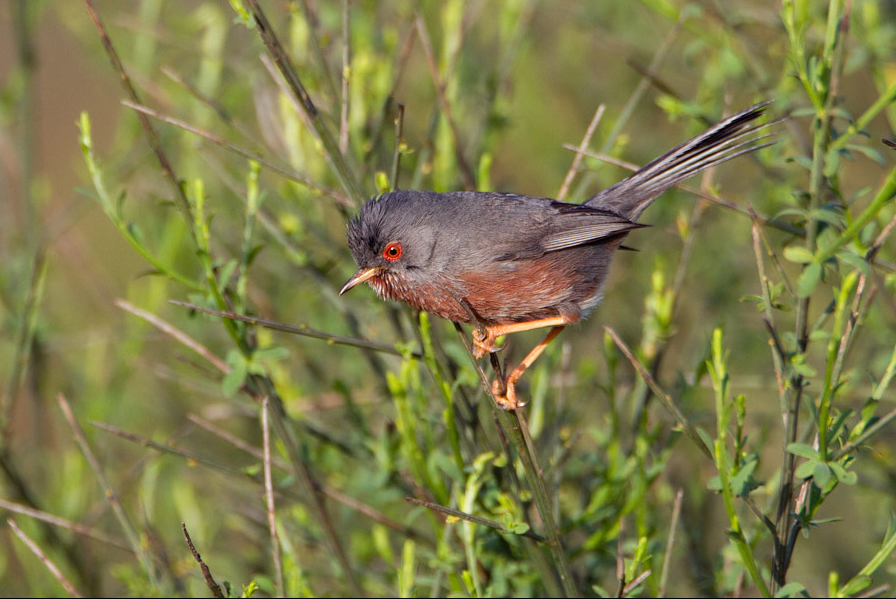
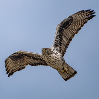
Les Opies are the highest point of the Alpilles massif at 496 meters above sea level, in the eastern part of the Alpilles. This summit owes its name to the wrong transcription of the Provençal name Aupiho ("small Alps") of the massif. It is a good point for birds of prey, but also to see many other interesting birds on your way up. See the birdlist below.
Detaljer
Tillgänglighet
There are three hiking trails for the Opies: one from the east from a point on the D25 road near Roquemartine. One from the D25a going to Aureille. And one departing from the village of Aureille at the foot of the castle. The last two trails meet in the same western trail. The first part of the trail, not difficult, takes place in a particularly shiny scrub on sunny days. Part of the western trail crosses trees burned by previous forest fires. The east and west trails meet at a large cairn. From there, a small trail allows you to make a short final ascent. Due to existing regulations regarding the prevention of forest fires, access to this site is prohibited during the summer season on days when the mistral blows hard.
On the map below you see the circular trail departing from the village of Aureille. The walk is 12,6 km long.


 ) Lägg till fågelnamen på ditt egna språk, namnen kommer automatiskt översättas till andra användare.