

Beskrivning
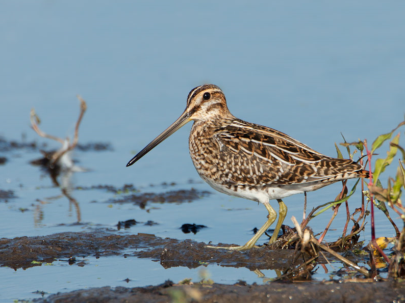
This area on the northeast shores of Lac de Curbans is interesting especially when the water level is low (waders, snipes). Please note that the water level can change very quickly. Among the birds you can see are Smådopping, vattenrall, enkelbeckasin, cettisångare, Kricka, större strandpipare, mindre strandpipare, skogssnäppa, gluttsnäppa and Silkeshäger.
_________________________
Français: Amont du lac de Curbans avec roselières et vasières découvertes en fonction de la régulation du niveau d'eau par EDF. Zone intéressante notamment lorsque le niveau d'eau est bas (limicoles, bécassines). Attention le niveau de l'eau est susceptible de changer très rapidement.
Detaljer
Tillgänglighet
Follow the departmental road n ° 4 which connects Curbans to Tallard. Coming from the south, at the foot of the village of Curbans, cross the bridge and continue north for 600m. Turn left into a small road that descends slightly into the lavender fields.
_________________________
Français: Suivre la route départementale n°4 qui relie Curbans à Tallard. En arrivant par le sud, au pied du village de Curbans, passer le pont et continuer vers le nord sur 600m. Tourner à gauche dans une petite route qui descend légèrement dans les champs de lavande.


 ) Lägg till fågelnamen på ditt egna språk, namnen kommer automatiskt översättas till andra användare.