

Beskrivning
The Tipper Peninsula comprises three areas: the Tipperne nature reserve in the north, the meadows of Værnengene, and the dunes of Bjålum Klit in the south. Tipperne and Værnengene form a large, flat landscape covering around 3000 hectares with meadows, many ponds, canals and ditches. Large areas are covered with reedbed. The meadows are managed by cattle grazing, haymaking and by damming up drains and canals to keep back water during the birds’ breeding season. In the southern part of the area, Bjålum Klit rises up above the meadows. Here there are dunes, heath and bogland with some bushes. West of the Tipper Peninsula is the Nyminde stream. Note: on Værnengene there is intensive hunting activity in the period September-December.
Many of the species of duck and waders that stage on the peninsula in spring and autumn also breed here, for example snatterand, stjärtand, årta, Skedand, strandskata, skärfläcka, tofsvipa, kärrsnäppa, brushane, rödspov and rödbena. The Tipper Peninsula is one of the most important breeding areas in Denmark for brushane and the southern variety of kärrsnäppa (Calidris alpina schinzii). The area also supports breeding rördrom, brun kärrhök, vattenrall, storspov, silvertärna and gulärla.
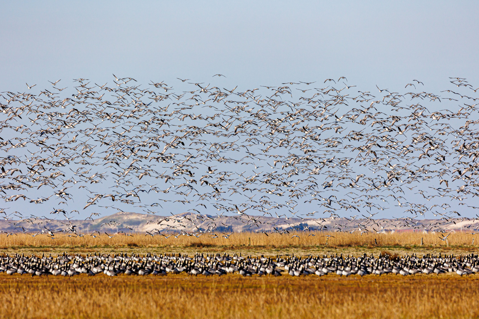
In early spring, large numbers of geese can be seen, especially on the coastal meadows of Værnengene. vitkindad gås and spetsbergsgås are the most numerous species. Huge numbers of ducks stage on the fjord and the meadows during migration. The largest flocks are to be found in April and October, when migration reaches a peak. The area is also an important stop-over site for tens of thousands of waders. Now and again, rare species can be spotted.
Detaljer
Tillgänglighet
From route 181, around 4-5km north-west of Nørre Nebel and just before Nymindegab, there is a minor road leading off north (signed Tipperne). From here it is about 5-6km to the Tipperne nature reserve.
- Værnsande can be seen from two car parks on the road. From this road one can also reach Bjålum Klit which is a good place for a walk. By parking at Sydladen ('the South Barn'), which is the first car park to be reached, and walking around 50m northwards, one finds a track that leads all the way round Bjålum Klit (around 6km).
- At Nordladen ('the North Barn') a bird observation tower has been installed inside the barn. There is also a nature exhibition, which is open day and night, and toilets, one of which is handicap-friendly. Outside, next to the car park, are a table and benches for visitors bringing refreshments.
- The bird observation tower at Værnengene can be reached by turning right where the road meets a gravel road going north-south. At the end of the road is a group of pine trees where a new large observation tower was built in 2021. From here there is a fantastic view in all directions.
- By turning north on the gravel road, the boundary of the nature reserve can be reached. The car park at the fence here is a good place to stop, especially in September/December. During this period, there are enormous flocks of birds on the reserve due to the hunting activities outside on the Værnengene. It is a good idea not to leave the car, so as not to disturb the birds.
- The nature reserve
Opening hours for the nature reserve (Tipper peninsula)
March 1 to July 31: Open Wednesdays and Saturdays from 9:30 a.m. to 3:30 p.m.
August 1 to October 31: Open every day of the week from 9:30 a.m. to 3:30 p.m.
November 1 to February 28 (29): No admission
Access only permitted by car. No alighting permitted along Tippervejen. Pedestrians and cyclists are not allowed due to bird life. Dogs not allowed
You enter through an automatic gate.
Apart from the tall observation tower there is also an exhibition about the Tipper Peninsula. It is also possible to walk along the 2km long nature trail that starts at the observation tower.


 ) Lägg till fågelnamen på ditt egna språk, namnen kommer automatiskt översättas till andra användare.