Beskrivning
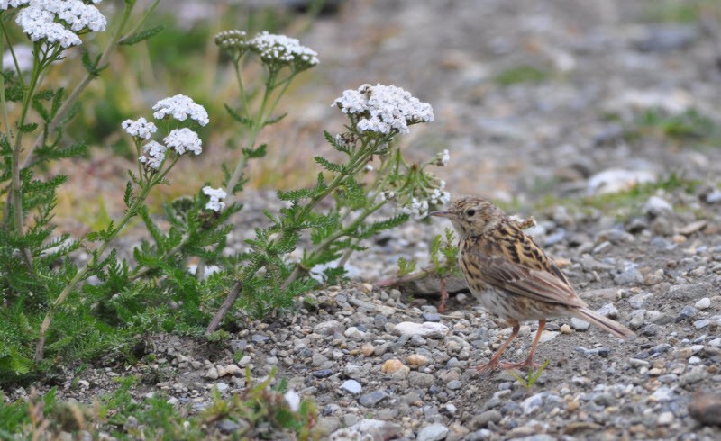
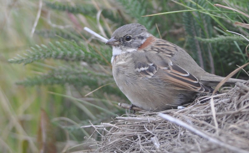
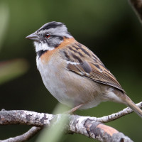
Tierra del Fuego National Park extends for 60 km north of the Beagle Channel, along the border with Chile. The park has an area of approximately 630 km² and includes parts of Lake Fagnano and Roca at Lapataia Bay on the south coast. The park contains waterfalls, forests, mountains and glaciers. There are about 90 bird species such as the Kelp goose, shelduck ducks, Andean condors and oystercatchers. Some walks include the Senda Castorera, Paseo del Mirador, Paseo del Turbal, Senda Laguna Negra, Senda Pampa Alta, Senda Cerro Guanaco and the Senda da Costera. Some of these walks are indicated on the map. Click a P in the map for directions to a starting point.
Detaljer
Tillgänglighet
You'll probably arrived by plane and left for the Falkland Islands and Antartica, so walk into the area from the boat dock.

