Description
This very wide and long sandbank is a dune landscape, and between it and the town on the mainland lie salt marshes and mudflats. It is located on the southern edge of the North Frisian Wadden Sea, which contains the Schleswig-Holstein Wadden Sea National Park.
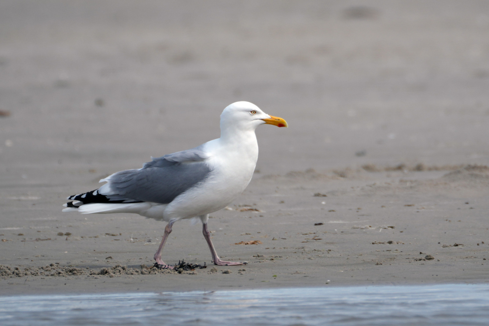
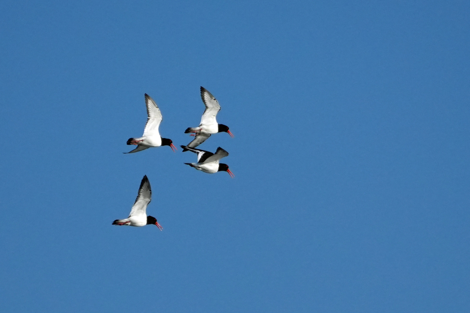
Many waders and migratory birds rest here, such as spremenljivi prodnik, peščenec, and veliki škurh. uhati škrjanec and obalna vriskarica can also be spotted here!
At the southern end of the dune is a great resting spot for gulls and terns, such as polarna čigra, mala čigra, rjavi galeb and veliki galeb. This is starred on the map below.
Details
Access
Access to the sanddune is by foot via various beach entrances. Some of these are subject to a fee. The main one is via the Seebrücke from Sankt Peter-Bad (starred on the map). Carparking can be found in the town, but during summer/holiday months, the wider Sankt Peter-Ording area gets very busy.
Walking down the dune, one can go seawards on the western edge, or eastwards next to the marshes and mudflats. A loop of both sides is also possible.
IMPORTANT: Pay attention to the tides! The sandbank is often flooded at high tide, and a quick return trip is not possible, especially from the southern tip. See the link to the tide table below.
The loop on the map is over 10 km long, so the area is quite large.
Public Transport: The RB64 regional rain stops at Bad St Peter-Ording in the town, about 600m from the Seebrücke. (Train symbol on the map)


 ) to insert bird names in your own language. The birdnames will automatically be translated for other users!