

Description
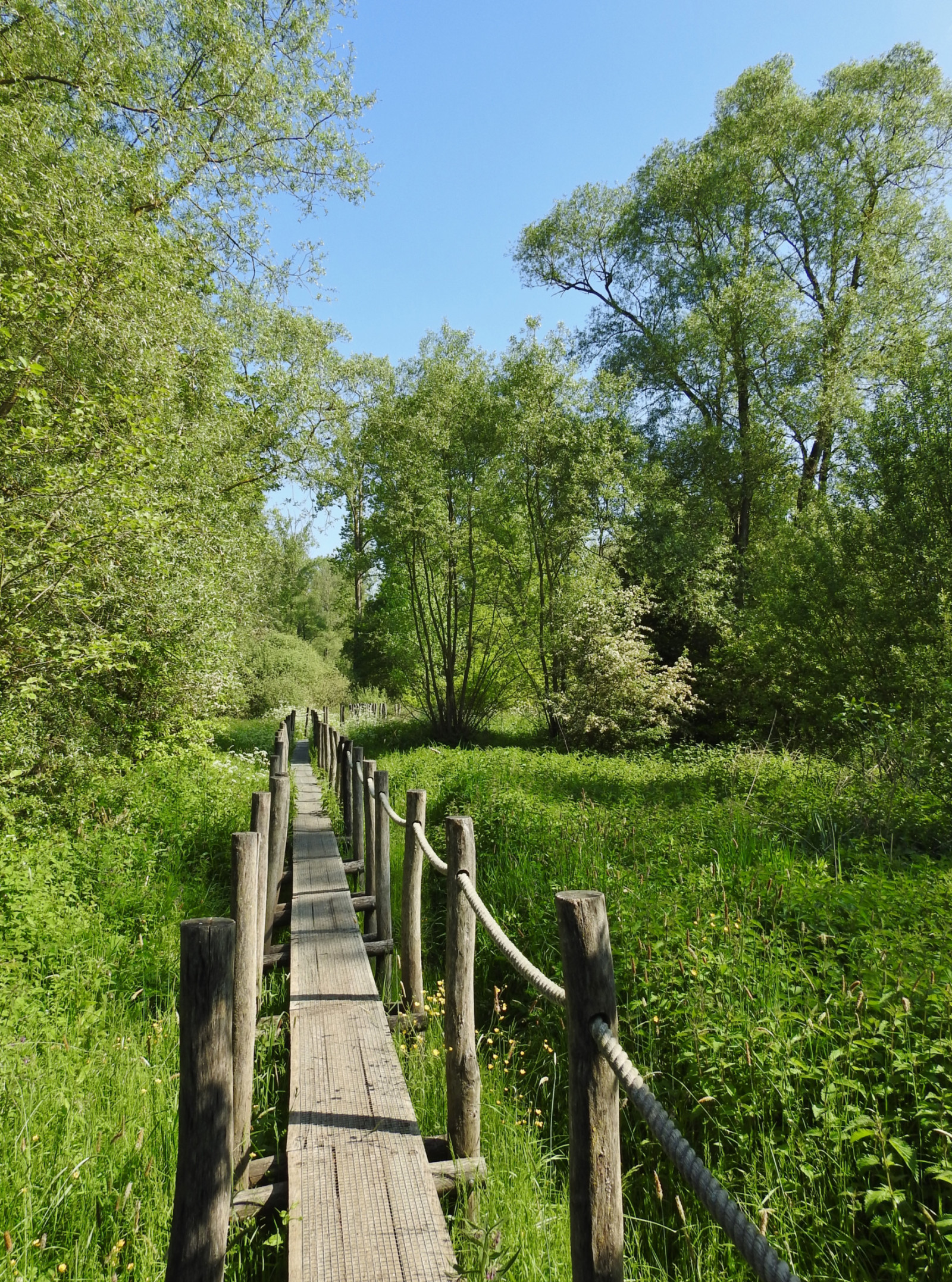
De Nuchten wet forest can be partly visited via a boardwalk through the marsh. You can still hear the gorska sinica singing and also the kobilar from the poplars. With species such as črnoglavka, ščinkavec, brglez accompanied by kanja which is present in large numbers. Some of the trees are dead. These trees are then again attractive to woodpeckers such as veliki detel and mali detel. In the winter period, the adjacent meadows can be flooded on which you can then see mlakarica, konopnica, rečni galeb and various other duck-like species. Outside the winter period, the meadows are also visited by bela štorklja.
_________________________
Nederlands: De Nuchten is eigenlijk een moerasachtig bos met typische soorten voor dit biotoop. Het bos is deels te bezoeken via een knuppelpad door het moeras. Je hoort er nog de gorska sinica zingen en tevens ook de kobilar vanuit de populieren. Met ook soorten zoals črnoglavka, ščinkavec, brglez bijgestaand door kanja die talrijk aanwezig is. Een deel van de bomen is dood. Deze bomen zijn dan weer een aantrekkelijk voor spechten zoals veliki detel en mali detel. In de winterperiode kunnen de aangrenzende weilanden onder water staan waarop je dan mlakarica, konopnica, rečni galeb en diverse andere eendachtigen kan zien. De weilanden worden buiten de winterpiode ook wel bezocht door bela štorklja.
Details
Access
De Nuchten is located between Ninove and Geraardsbergen, and more precisely between the villages of Idegem and Zandbergen. You can park along the public road De Nuchten, but the number of parking spaces is limited. Press the P on the map for directions. The walking path indicated on the map is approximately 2 km.
_________________________
Nederlands: De Nuchten ligt tussen Ninove en Geraardsbergen, en meer precies tussen de dorpen Idegem en Zandbergen. Je kan parkeren langs de openbare weg De Nuchten maar het aantal parkeerplaasen is beperkt. Druk op de P in de kaart voor een routebeschrijving. Het wandelpad dat is aangeven op de kaart is ongeveer 2 km.


 ) to insert bird names in your own language. The birdnames will automatically be translated for other users!