Description
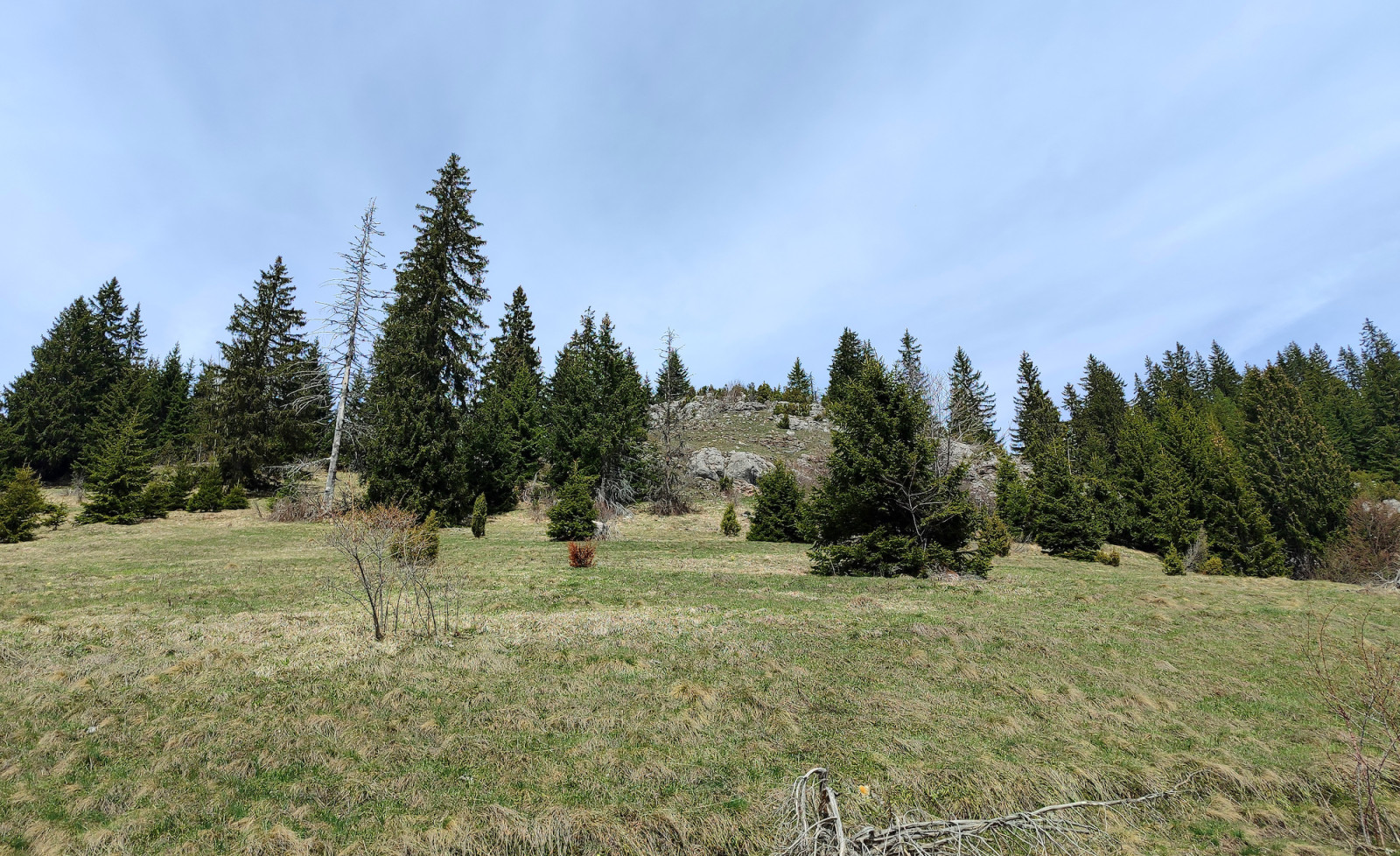
Zlatar mountain lies between rivers Lim, Uvac, Mileševka, and Bistrica. Its highest peak is Velika Krševa ('Big Karst', 1627 meters) with Spruce forest on the northern and scrubby and rocky meadows on the southern slopes. Beneath the Velika Krševa peak is the Vodena Poljana ('Water Meadow') in which there is a fountain spring with drinking water. South of Vodena Poljana is the Special Nature Reserve Ivlje forest, which has a unique mixed forest of Spruce and European red pine.
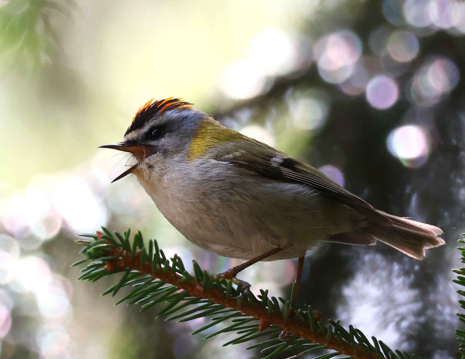
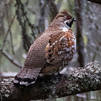
Many dirt roads and paths depart from Vodena Poljana, some of them are marked on the map below. The dirt road to the east winds shortly through the forest to reach steep and occasionally rocky meadows below the Zlatar peaks. Here you can find Mugurar, Pițigoi de brădet, Pițigoi moțat, Pițigoi de munte, Aușel sprâncenat, Aușel cu cap galben, and Brumăriță de pădure. Darker and colder northern Zlatar slopes can be explored by choosing the dirt road to the north where you need some luck to find Ciocănitoare de munte, Ciuvică, or Minuniță. Finally, if you do not mind going down by foot, the path to the south passes through the Ivlje forest, where you may encounter Forfecuță.
Details
Access
To reach Vodena Poljana and Velika Krševa, turn to the west from the regional road Nova Varoš - Sjenica and follow the paved road to the forest hut and the log church where it is possible to conveniently park.
The dirt road from Vodena Poljana to the west is passable by normal cars, while the dirt road to the north may be muddy with a lot of puddles after rainy days.
Terrain and Habitat
Forest , Mountain , Scattered trees and bushesConditions
MountainousCircular trail
NoIs a telescope useful?
NoGood birding season
Summer , Spring , AutumnBest time to visit
Summer , Spring , AutumnRoute
Unpaved road , Wide path , Narrow trailDifficulty walking trail
Average walkAccessible by
Foot , Car , BicycleBirdwatching hide / platform
NoLinks
- 'Velika Krševa' eBird hotspot
- 'Zlatar proplanak' eBird hotspot
- 'Babića brdo, Zlatar' eBird hotspot
- eBird barchart of all 3 hotspots
- IBA Zlatar


 ) to insert bird names in your own language. The birdnames will automatically be translated for other users!