Description
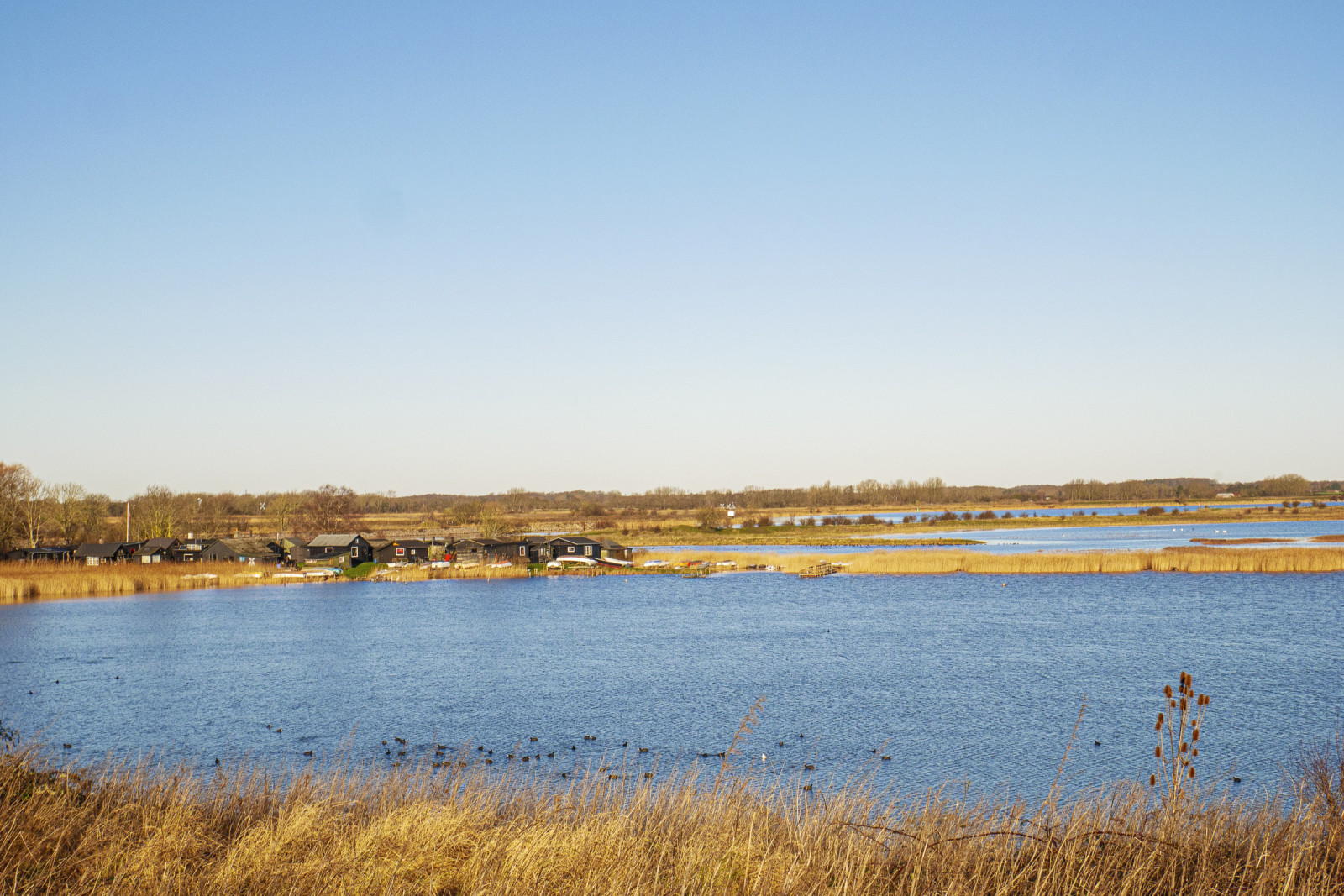
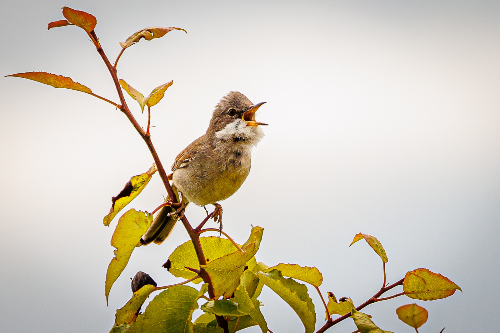
Stige ø is a peninsula between Odense Fjord and Odense Canal. Part of the island was formerly a landfill, but is now covered with soil and a popular excursion and activity area. There are walking paths, a playground, an ice house, mountain bike tracks and shelters The area has a varied nature with many bushes with small birds such as Sticlete, Presură galbenă and Silvie de câmp. There are also areas with reed beds where there are Lăcar de stuf, Lăcar mic and Presură de stuf.
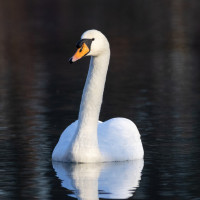
Many waterfowl are seen in the fjord and in winter large flocks of Lebădă de vară, Lișiță are seen, and it is an important wintering site for Corcodel mic. You can also see birds of prey, especially Vânturel roșu and Șorecar comun, but also Codalb which breeds on the nearby and Șoim călător which breed on the nearby Fjernvarme Fyn.
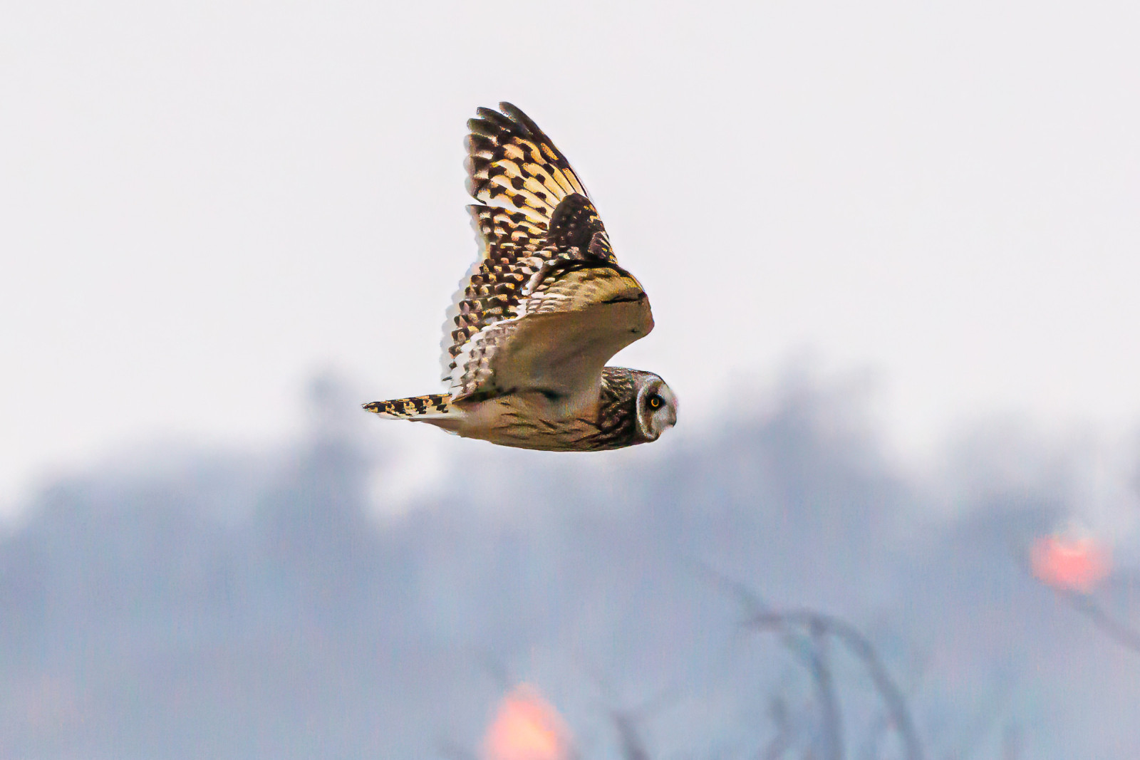
Stige Ø nord is the area north of the parking lot at Sortehusene. It is characterized by meadow areas. You enter the area through a gate, as there are livestock. There are several wading birds in the area and in winter you can see Ciuf de câmp. You also get quite close to Vigelsø, where Codalb often is seen hunting.
Details
Access
Stige Ø is located just north of the city of Odense. There is no public transport. You can get there by car or bike. The parking lot by the ice cream shop is the best starting point. The parking lot at Sortehusene is the best starting point if you want to go out to Stige Ø north. Press on a P on the map for directions to one of the parkings. During weekends and school holidays there can often be quite a lot of people out here, but you can still often find some quiet areas where you can watch birds.
Terrain and Habitat
Reedbeds , Sea , Scattered trees and bushes , WetlandConditions
Flat , Open landscapeCircular trail
YesIs a telescope useful?
Can be usefulGood birding season
All year roundBest time to visit
Winter , SpringRoute
Unpaved roadDifficulty walking trail
EasyAccessible by
Foot , BicycleBirdwatching hide / platform
YesExtra info
The bird hide is difficult to access and does not offer better observation opportunities than from the path.
The circular route is 4 km, and can be followed by gps. There are possibilities to choose other paths.


 ) to insert bird names in your own language. The birdnames will automatically be translated for other users!