Descrição
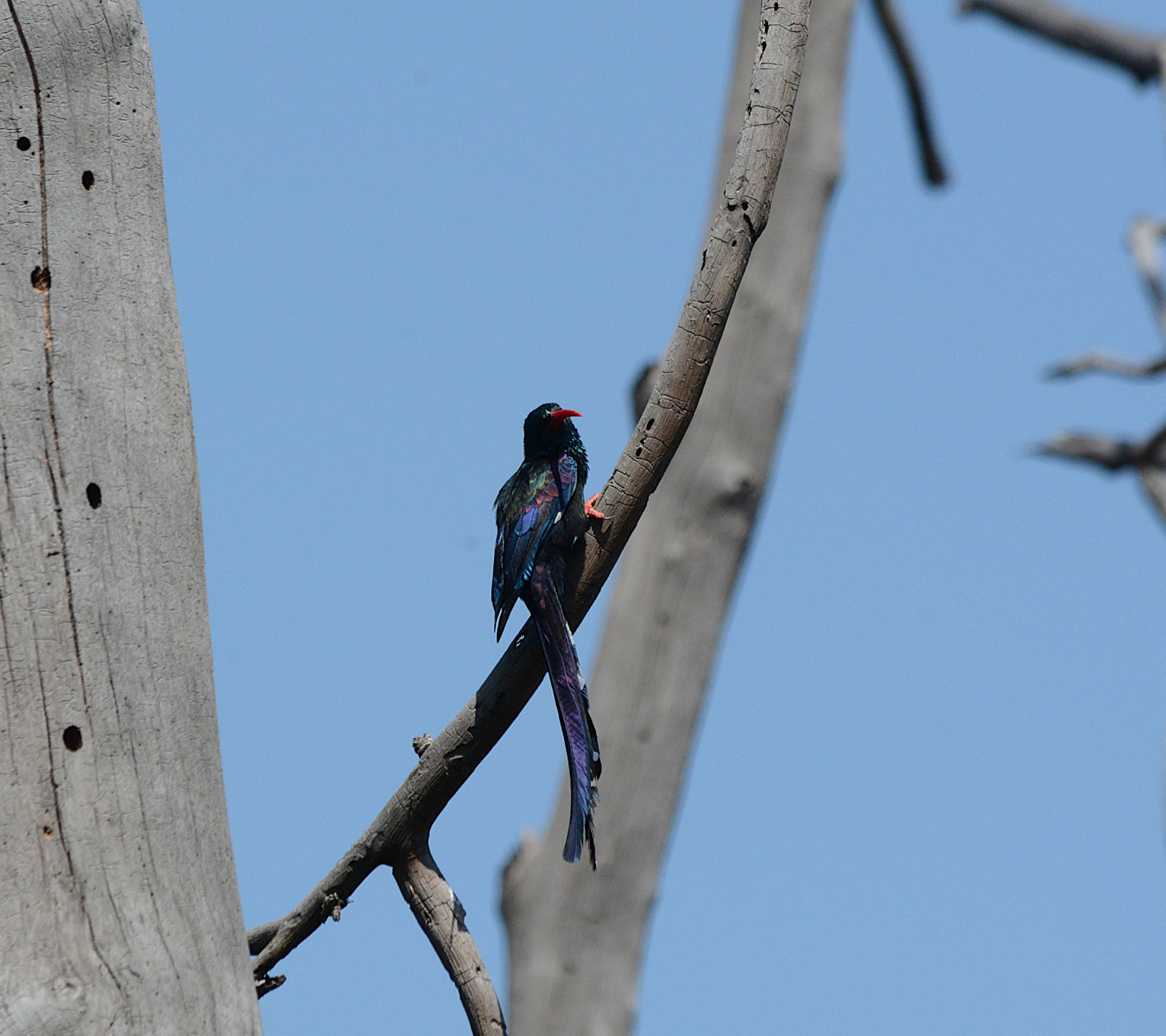
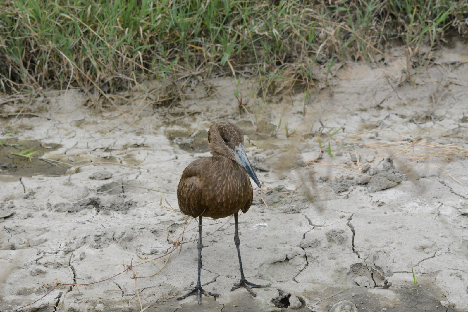
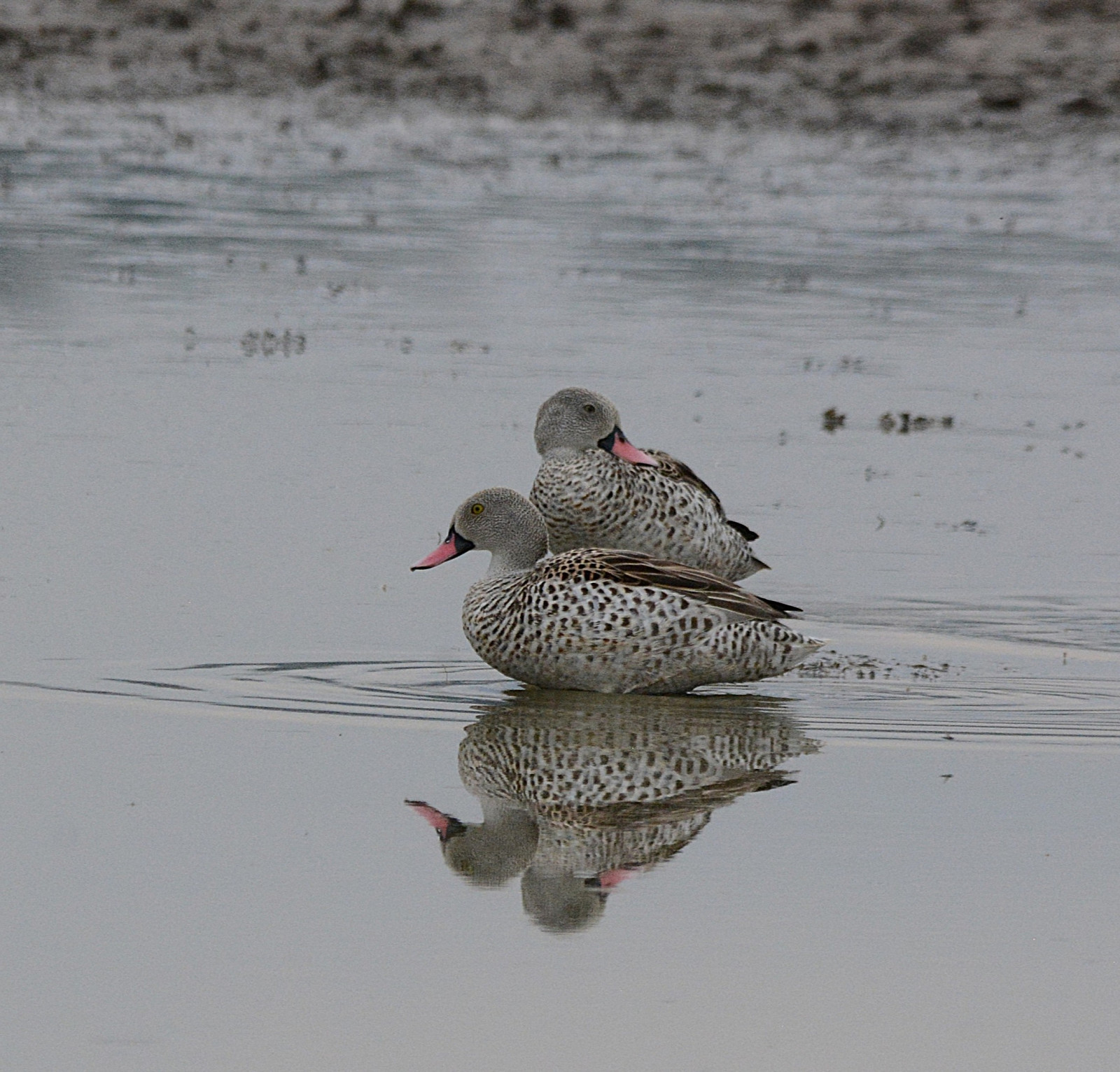
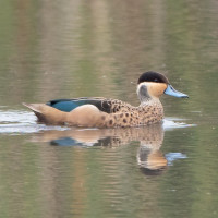
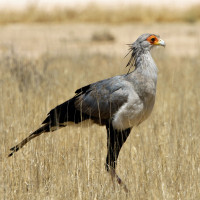
Soysambu Conservancy was created to conserve the flora, fauna and scenery of the Soysambu ranch near Gilgil in the Rift Valley Province. It covers almost 20,000 hectares (190 km2). Soysambu has over 450 recorded species of birds which are both resident and migrational. There are water birds such as both Lesser and Greater Flamingoes, Plovers, Gulls, Stints, Stilts, Lapwings, Ruffs, Kingfishers, Herons, Avocets, Teals and Ducks. It also has a significant population of terrestrial birds such as Eagles, Vultures, Owls, Falcons, Harriers, Sparrow hawks, Goshawks, Buzzards, Kites, Falcons, Kestrels, Rollers, Secretary birds, Ground Hornbills, Guinea Fowl , Larks and Francolins. Significantly, Lake Elmenteita supports the only known breeding site for Great White Pelican in Kenya.
Visiting Soysambu Conservancy is great throughout the year. It is located 30 miles south of the equator at an elevation of 6000 feet (1829 meters), so the sun rises and sets pretty much the same time every day from 7am to 7pm. The days are long, offering many photographic and spotting opportunities for birdwatchers.
The temperature generally ranges between 50˚F (10˚C) and 75˚F (23˚C) either a little warmer during the dry season or cooler after the wet season. Be sure to bring a sweater or fleece as it can be very cool during the early morning and evening game drives.
Detalhes
Acesso
Soysambu Conservancy is located in Kenya’s Central Rift Valley, along the western shores of Lake Elmenteita, roughly midway between Lake Nakuru and Lake Naivasha. It’s about 130 kilometers northwest of Nairobi. Entrance fee is $ 50 (2025).
You can do a guided walk on foot. But it is best to explore the area by car or bycycle so that you can observe birds both by the lake and also in the acacia grassland. The circular route shown on the map is about 18 km.


 ) para inserir nomes de aves no seu idioma. Os nomes das aves serão traduzidos automaticamente para outros utilizadores!