Enviar imagens
Os tipos de imagem permitidos são jpeg, png, gif
O tamanho máximo do ficheiro é 20 MB
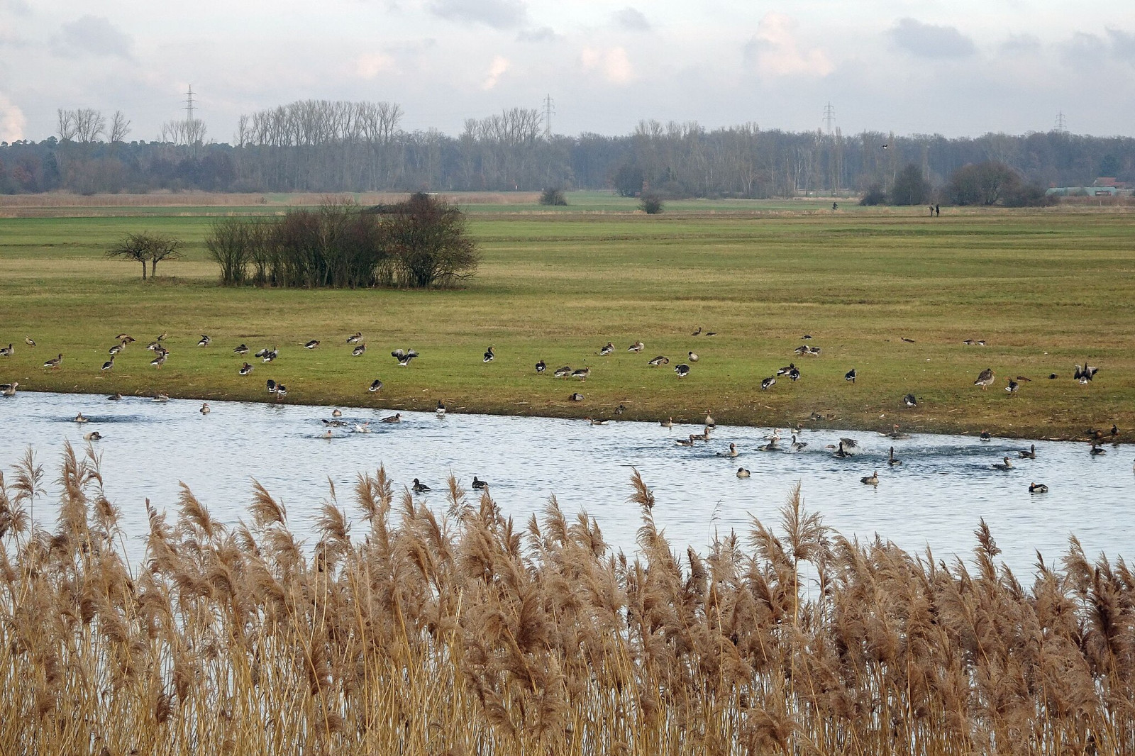
A floodplain area on the lower reaches of the Gersprenz stream with habitat for many bird species, including migratory birds.
The Hergershäuser Wiesen are a floodplain area of approximately 400 hectares and characterized by many different habitats; wet, dry and sandy. Large areas are irrigated with a wind pumping station and several temporary water-retaining ponds and extensive wet meadows are created. NABU Münster (Hesse) has been committed to protecting and caring for these valuable areas for decades and makes the area accessible through a marked circular trail and guided hikes.
Hergershäuser Wiesen is located between Münster, Altheim and Hergershausen. It is easy to explore the area from these places. Press a P in the map for directions to a parking spot. In addition, one of the trails starts from Altheim train station. If you walk all the trails that are shown on the map it is a distance of 11 km, but it is of course easy to make the walk shorter.
O seu comentário será enviado ao autor da área e aos editores da Birdingplaces. Eles usarão seu feedback para melhorar a qualidade das informações. Quer postar um comentário visível? Utilize o botão 'Comentários' na parte inferior do local de observação de aves.
Nesta caixa pode comentar sobre o texto deste local de observação.
Nesta caixa pode comentar sobre o mapa deste local de observação
Nesta caixa pode comentar sobre a lista de espécies de aves deste local de observação. (Para partilhar avistamentos, utilize o botão 'Comentários' na parte inferior do local de observação de aves)
Clique no ícone do ave () para inserir nomes de aves no seu idioma. Os nomes das aves serão traduzidos automaticamente para outros utilizadores!