

Descrição
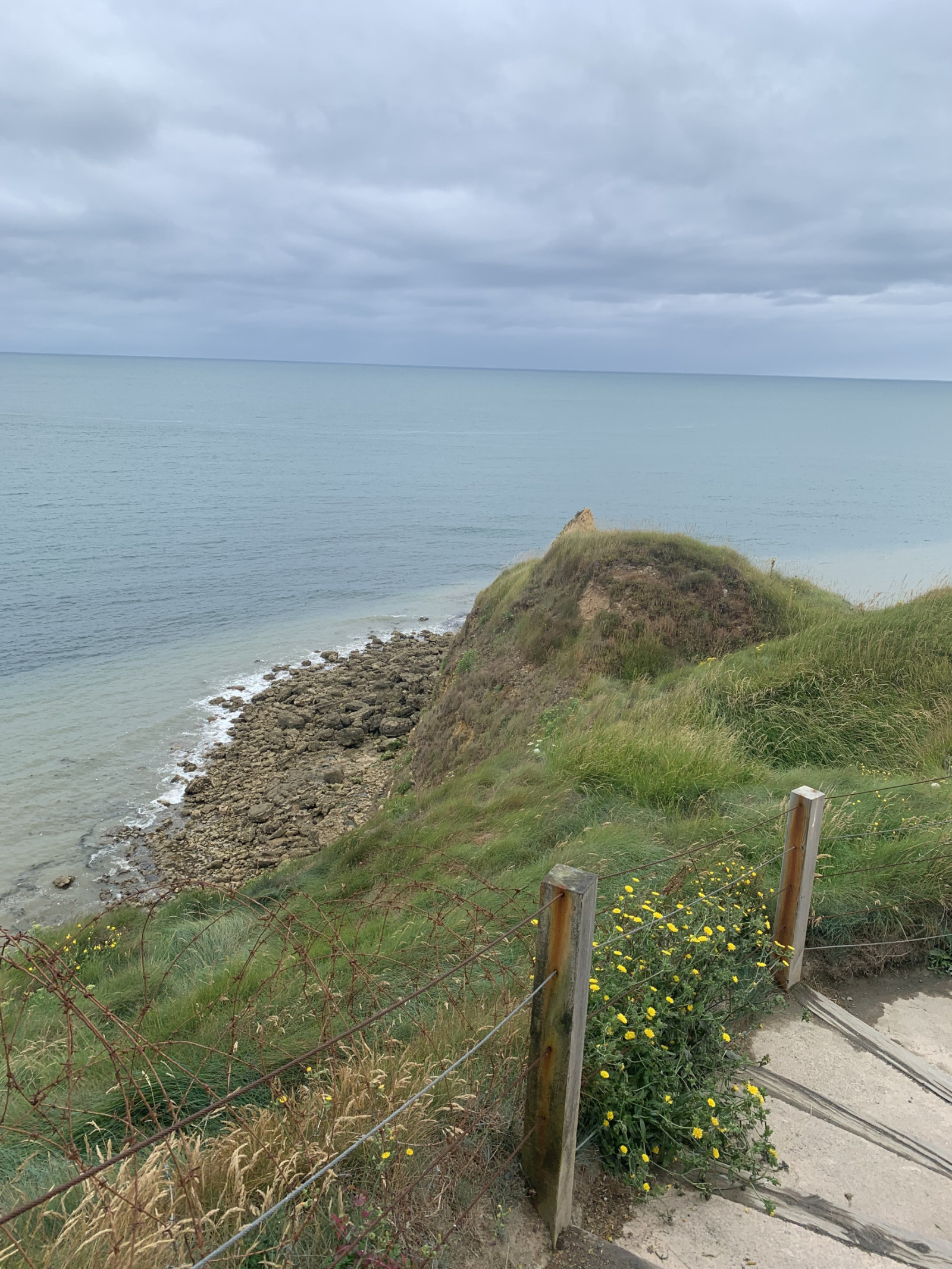
Pointe du Hoc is a prominent cliff on the coast of Normandy that played a significant role during World War II, particularly during the D-Day landings on June 6, 1944. Today, Pointe du Hoc is a memorial site, with remnants of the bunkers and bomb craters still visible.
In the first part of the circular walking route shown on the map you can observe songbirds such as Pintarroxo-comum or Petinha-dos-prados and many other species. Along the coast you can observe Gaivota-tridáctila, Arau-comum and many other seabirds. A good place for seawatching!
Detalhes
Acesso
Pointe du Hoc is located on the northwestern coast of Normandy situated between Omaha Beach and Utah Beach. There is a big parking lot for visitors. Press P on the map for directions to the parking. The circular walking route shown on the map is about 1,5 km.
Terreno e Habitat
Campina , Mar , DunasCondições
Arenoso , Sem sombra , Montanhoso , PoeirentoCaminho circular
Simé útil um telescópio?
Pode ser útilBoa temporada de observação de aves
Durante todo o anoMelhor hora para visitar
Primavera , OutonoRota
Caminho largoCaminho dificil
FácilAcessível por
Pé , Cadeira de rodasAbrigo/plataforma deobservação de aves
NãoInformação extra
On D-Day, the United States Army Rangers, led by Lieutenant Colonel James Earl Rudder, scaled the 30-meter-high cliffs to capture the German positions. Despite facing heavy resistance and difficult terrain, the Rangers successfully took control of the area, which was crucial for the success of the Normandy landings.


 ) para inserir nomes de aves no seu idioma. Os nomes das aves serão traduzidos automaticamente para outros utilizadores!