Descrição
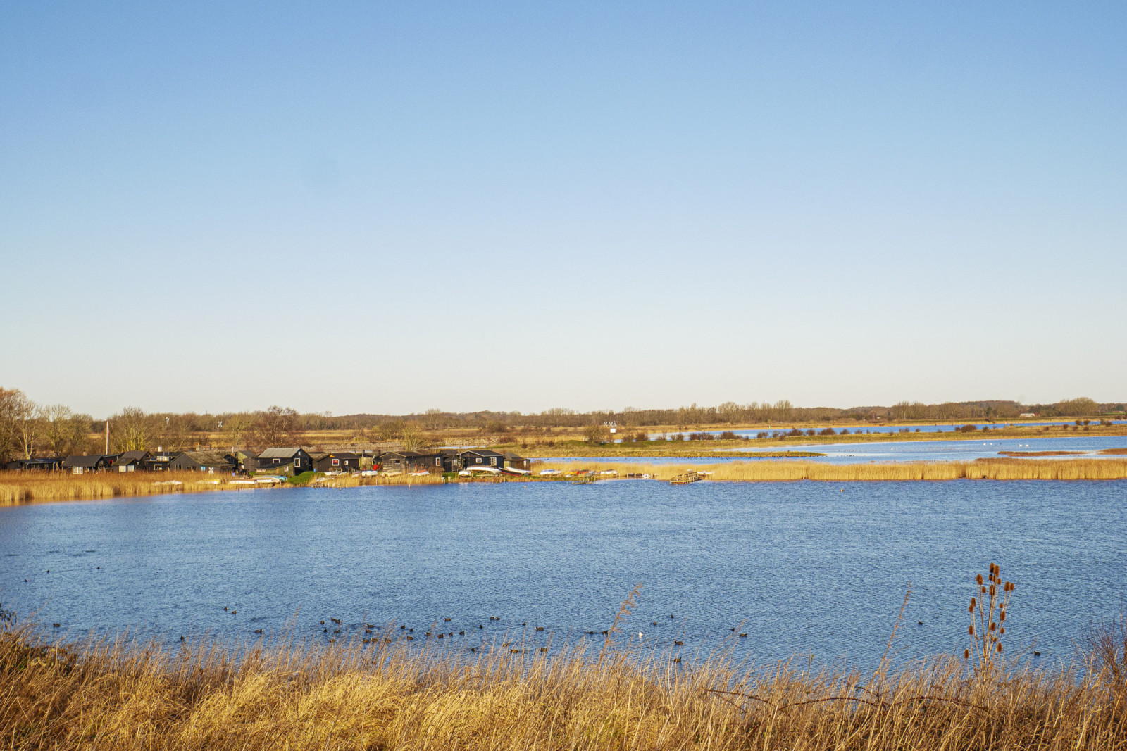
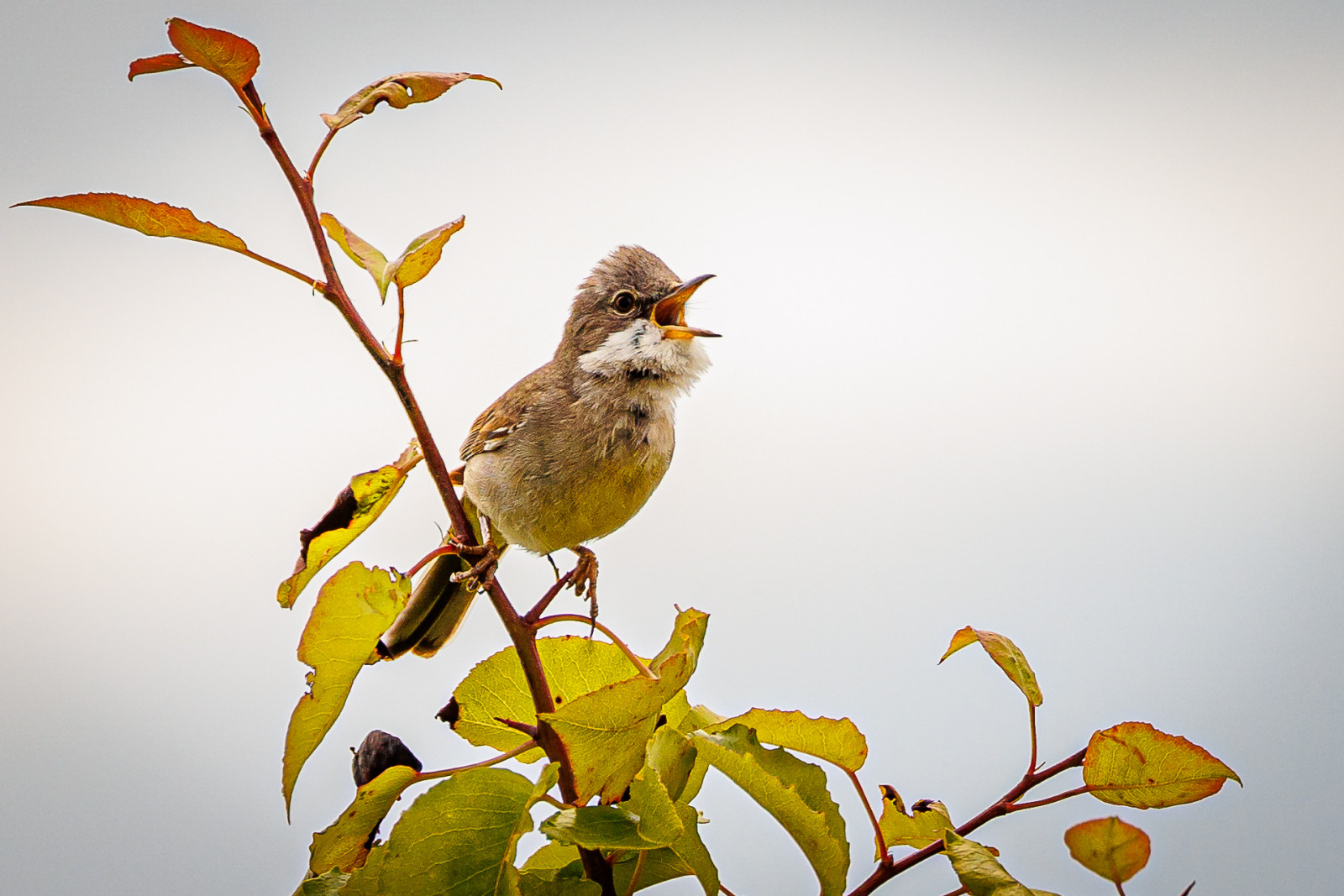
Stige ø is a peninsula between Odense Fjord and Odense Canal. Part of the island was formerly a landfill, but is now covered with soil and a popular excursion and activity area. There are walking paths, a playground, an ice house, mountain bike tracks and shelters The area has a varied nature with many bushes with small birds such as Pintassilgo, Escrevedeira-amarela and Papa-amoras-comum. There are also areas with reed beds where there are rouxinol-dos-caniços, Felosa-dos-juncos and Escrevedeira-dos-caniços.
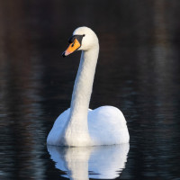
Many waterfowl are seen in the fjord and in winter large flocks of Cisne-vulgar, Galeirão-comum are seen, and it is an important wintering site for Mergulhão-pequeno. You can also see birds of prey, especially peneireiro-de-dorso-malhado / peneireiro and Águia-d'asa-redonda, but also Águia-rabalva which breeds on the nearby and falcão-peregrino which breed on the nearby Fjernvarme Fyn.
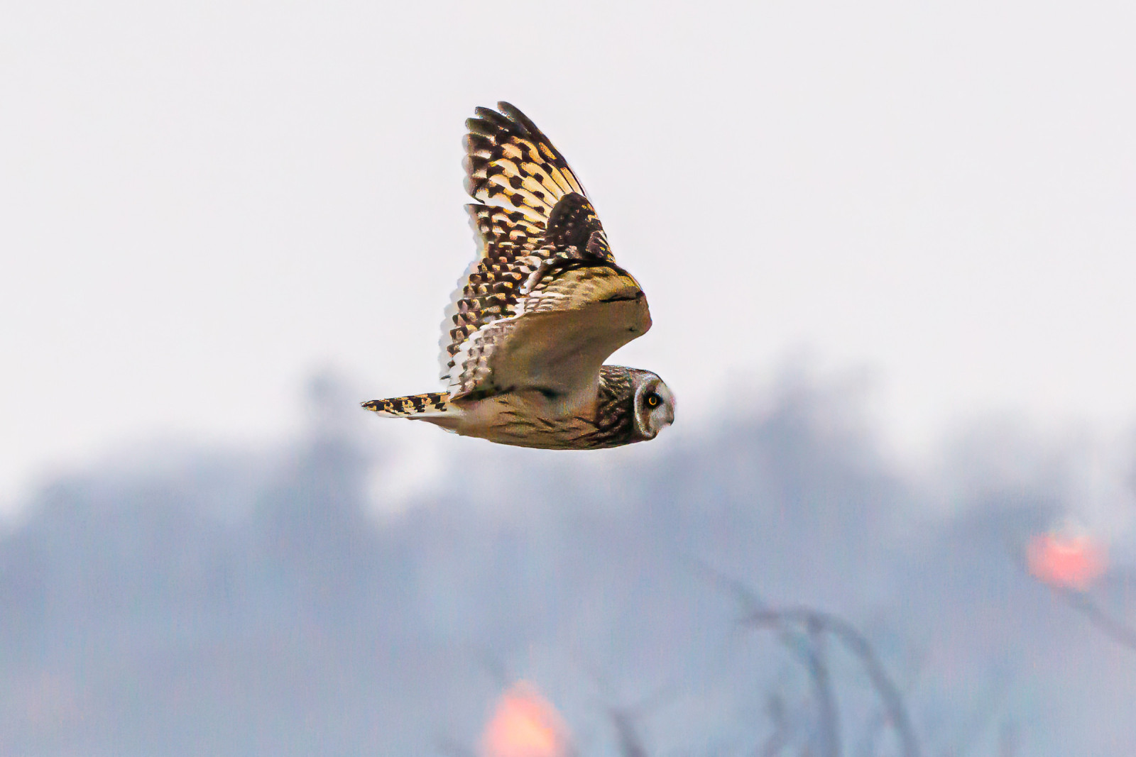
Stige Ø nord is the area north of the parking lot at Sortehusene. It is characterized by meadow areas. You enter the area through a gate, as there are livestock. There are several wading birds in the area and in winter you can see Coruja-do-nabal. You also get quite close to Vigelsø, where Águia-rabalva often is seen hunting.
Detalhes
Acesso
Stige Ø is located just north of the city of Odense. There is no public transport. You can get there by car or bike. The parking lot by the ice cream shop is the best starting point. The parking lot at Sortehusene is the best starting point if you want to go out to Stige Ø north. Press on a P on the map for directions to one of the parkings. During weekends and school holidays there can often be quite a lot of people out here, but you can still often find some quiet areas where you can watch birds.
Terreno e Habitat
Camas de junco , Mar , Árvores e arbustos dispersos , Terras húmidasCondições
Plano , Paisagem abertaCaminho circular
Simé útil um telescópio?
Pode ser útilBoa temporada de observação de aves
Durante todo o anoMelhor hora para visitar
Inverno , PrimaveraRota
Estrada não pavimentadaCaminho dificil
FácilAcessível por
Pé , BicicletaAbrigo/plataforma deobservação de aves
SimInformação extra
The bird hide is difficult to access and does not offer better observation opportunities than from the path.
The circular route is 4 km, and can be followed by gps. There are possibilities to choose other paths.


 ) para inserir nomes de aves no seu idioma. Os nomes das aves serão traduzidos automaticamente para outros utilizadores!