Descrição
Kinnairds Wetland is a beautiful wetland fed by flows from the Muckatah Surface Water Management Scheme, which has a 600 km² catchment, beginning in Yarrawonga. The natural and constructed areas of the wetland act as a retarding basin. This aids in filtering sediments and nutrients, and minimises the rate of flows entering the Broken Creek to the south, which eventually flows into the Murray River in the Barmah Forest.
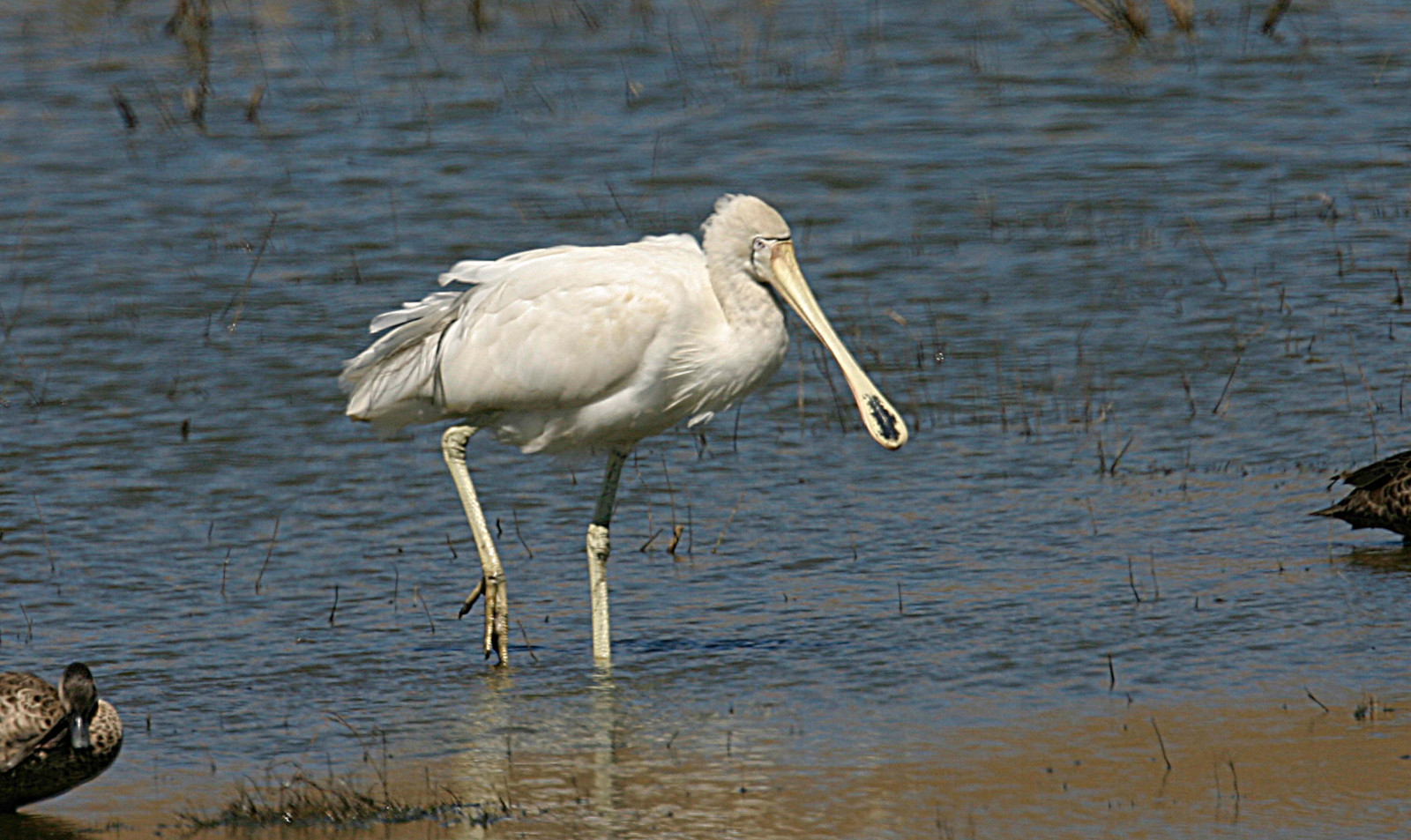
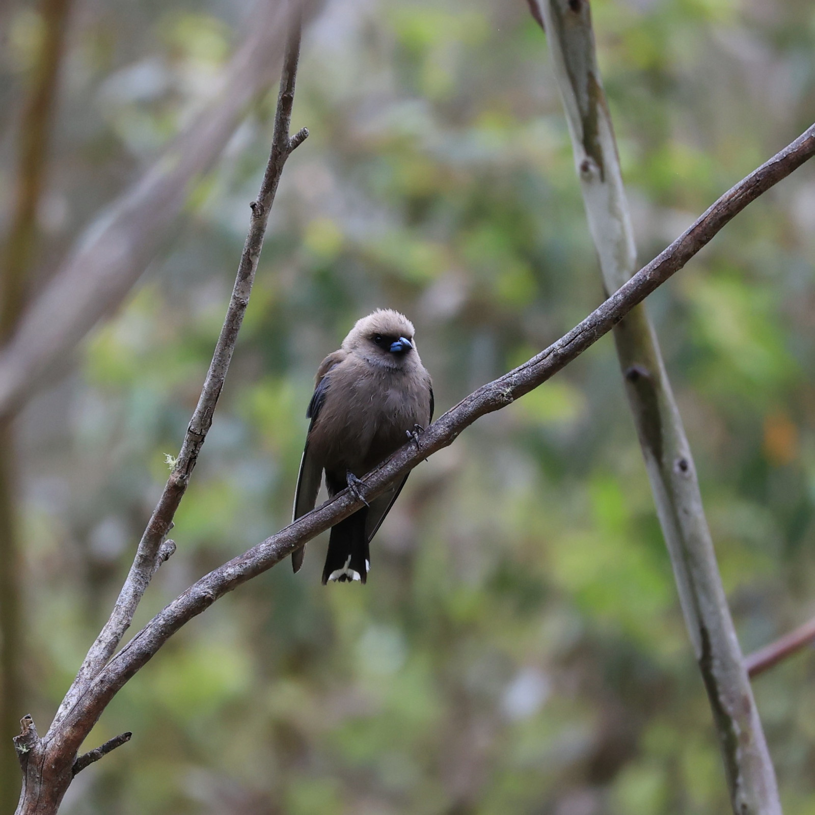
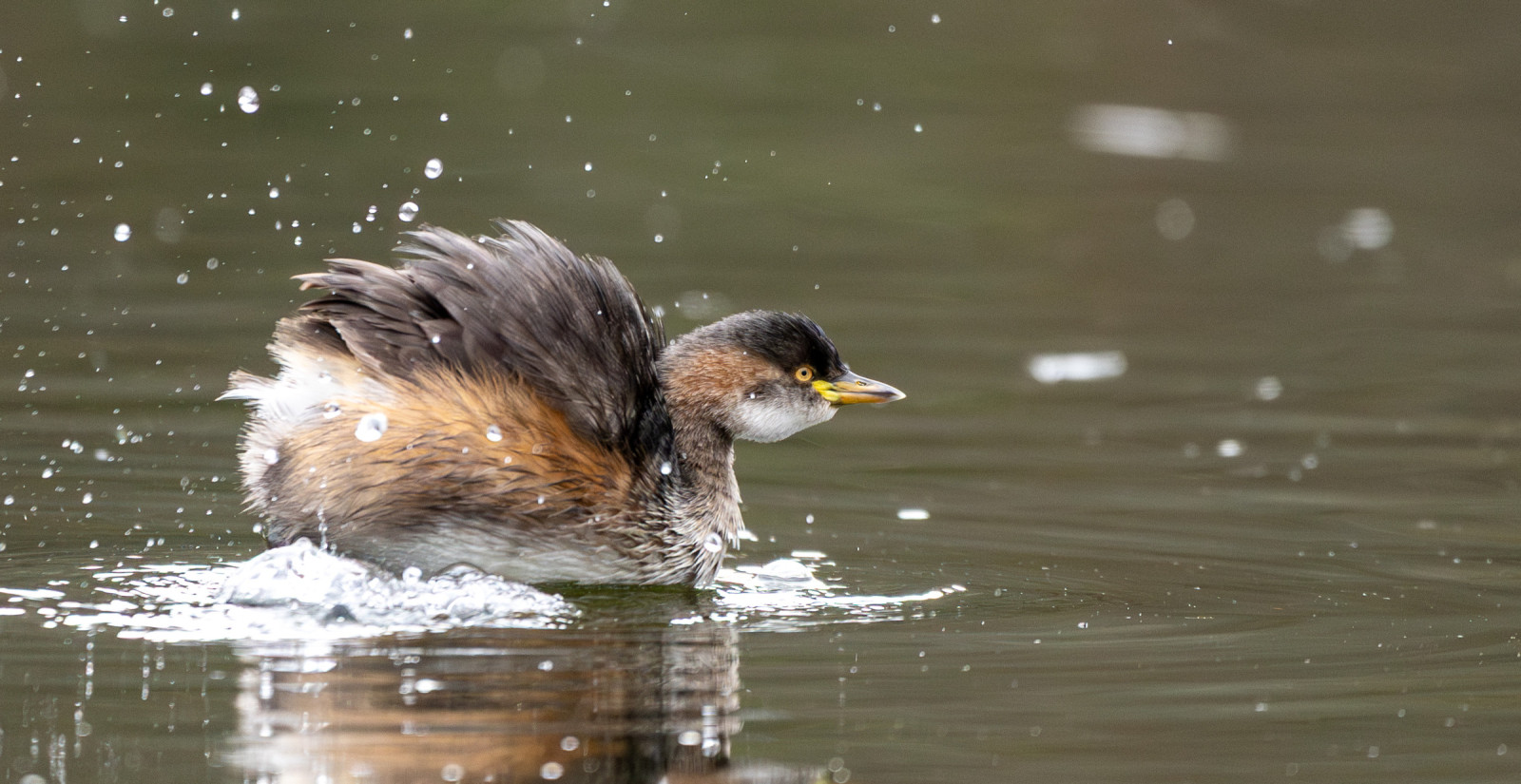
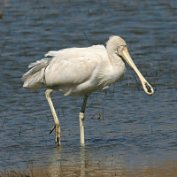
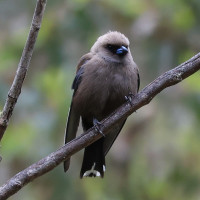
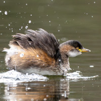
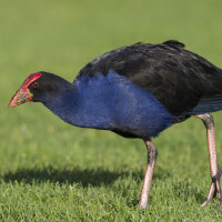
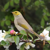
You can see spoonbills, ducks, ibis, herons and cormorants, but also small birds such as Scarlet Robin and watch overhead for birds of prey including Wedge-tailed Eagle, Whistling Kite and Peregrine Falcon.
Detalhes
Acesso
Kinnaird's Wetland is located north of the Broken Creek, near Numurkah. About 20 minutes north of Shepparton and 2.5 hours north of Melbourne. Click on the P in the map for directions to the parking. A range of constructed trails suitable for walking and cycling, boardwalks, bird hides and picnic areas give you the opportunity to explore the wetlands and woodlands. The total walking route indicated on the map is about 5,5 km.
 ) para inserir nomes de aves no seu idioma. Os nomes das aves serão traduzidos automaticamente para outros utilizadores!