
Descrição
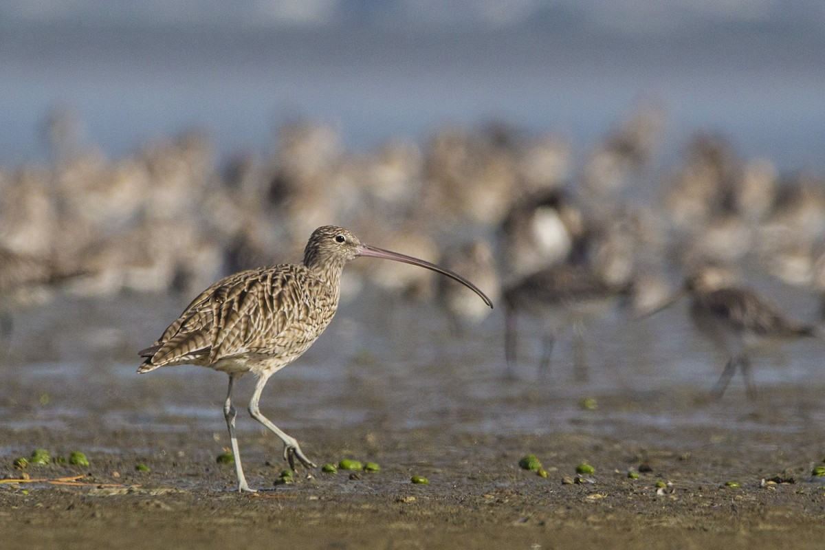
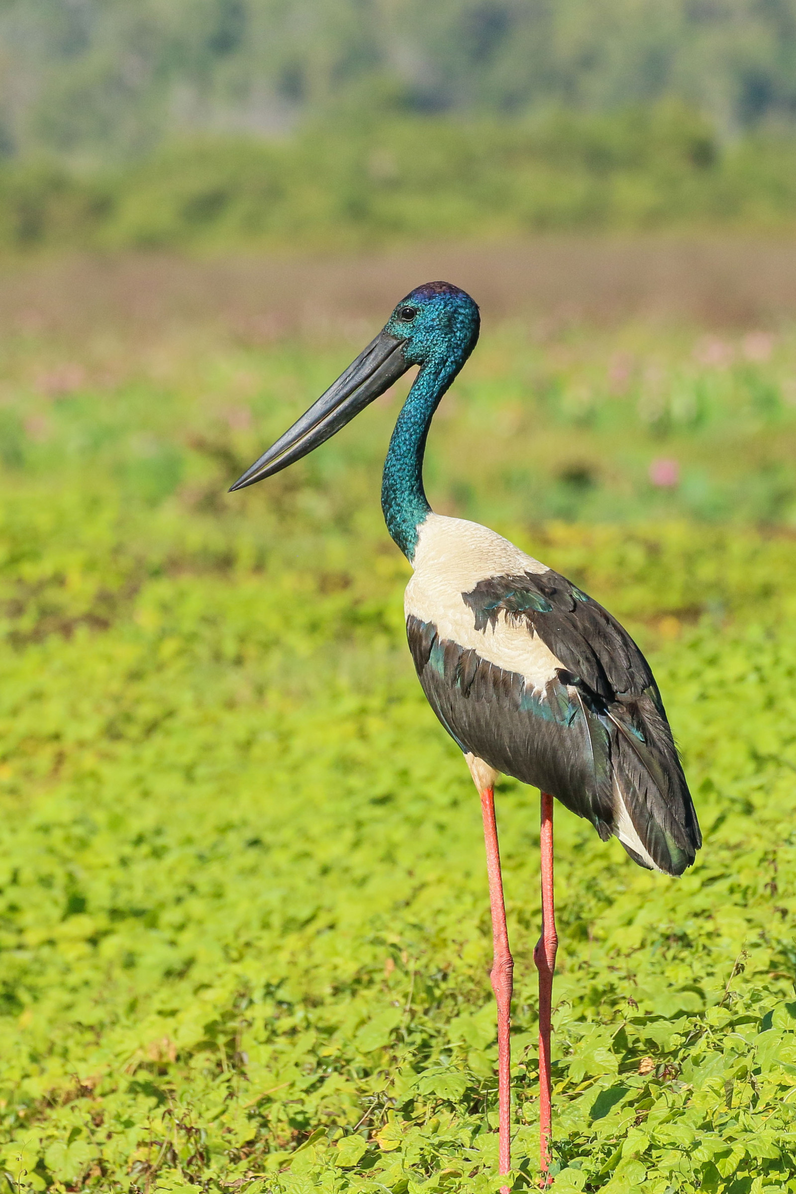
Ash Island is part of Hunter Wetlands National Park. In the 1960s, to facilitate industrial development, many Hunter River islands were amalgamated into one landmass, Kooragang Island. However, the western section is still referred to as Ash Island (it is named after the Blueberry Ash trees that once were abundant). Recent rehabilitation work has restored some of the lost habitat. More than 200 species of birds live here or pass through on their migration. The number and diversity of birds using Ash Island can vary considerably according to season, rainfall and the state of the tide.
Detalhes
Acesso
Hunter Wetlands National Park is located just a short drive from Newcastle in New South Wales. To go to Ash Island drive north along the Pacific Highway towards Hexham. Just before Hexham McDonalds (on the left at the lights), turn right across the Ash Island Bridge.
There are several parkings. Press P on the map for directions for directions to a parking. At the Riverside Park parking (1) you'll find a picnic area, toilets and several paths leading off around Ash Island. They're all flat and wide.
Terreno e Habitat
Terras húmidasCondições
Paisagem abertaCaminho circular
Simé útil um telescópio?
NãoBoa temporada de observação de aves
Durante todo o anoRota
Caminho largoCaminho dificil
FácilAcessível por
PéAbrigo/plataforma deobservação de aves
NãoInformação extra
Interesting areas to check out are the Mangrove Boardwalk (2), the Wetlands and rainforest walk (3), Milhams pond (4), the Phoenix Flats (5), and the Area E ponds (6).
Ligações
- Park website
- Hunter Wetlands National Park - Ash Island on eBird
- Brochure 'Ash Island birding route' by Hunter Bird Observers Club
- Website Hunter Bird Observers Club


 ) para inserir nomes de aves no seu idioma. Os nomes das aves serão traduzidos automaticamente para outros utilizadores!