
Descrição
The Birdsville Track is a well maintained, unsealed track that links Birdsville in Queensland's south-west to Marree in the mid-north of South Australia. Clayton Crossing refers to the Clayton River, which is typically dry but can flood after heavy rains. The area is surrounded by cattle stations and desert terrain, with views stretching into the Simpson and Sturt Stony Deserts. Coolabah (Eucalyptus coolabah) with Coobah (Acacia stenophylla) and Broughton Willow (Acacia salicina) are found along the river channels. The surrounding country is mostly chenopod shrubland.
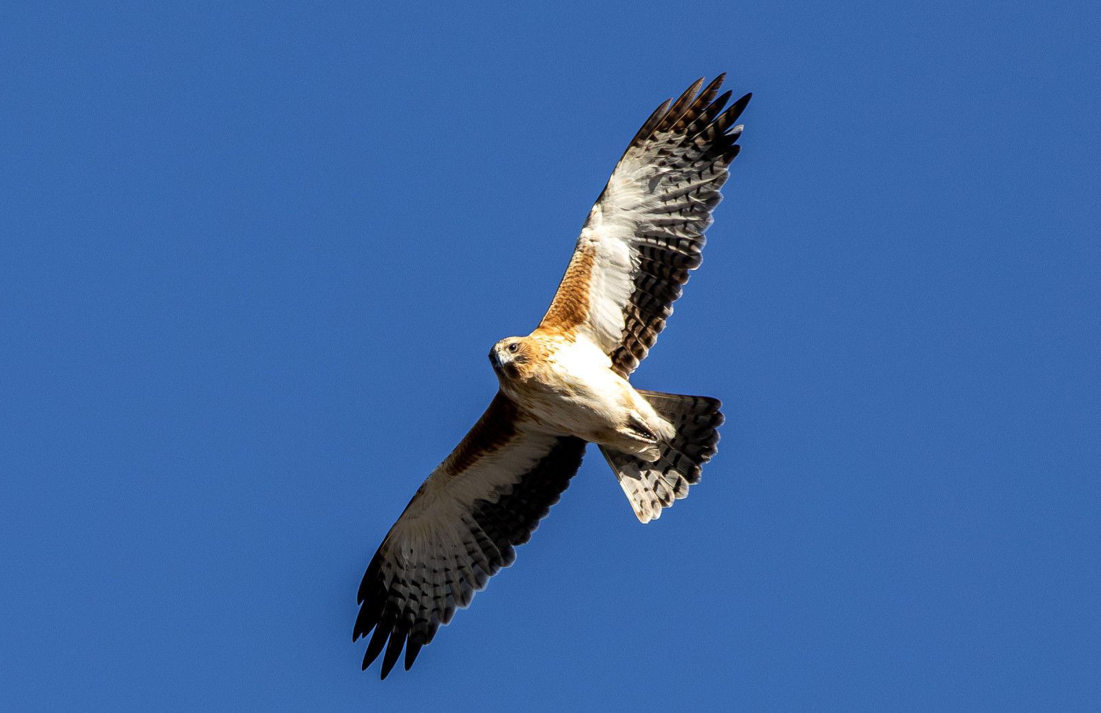
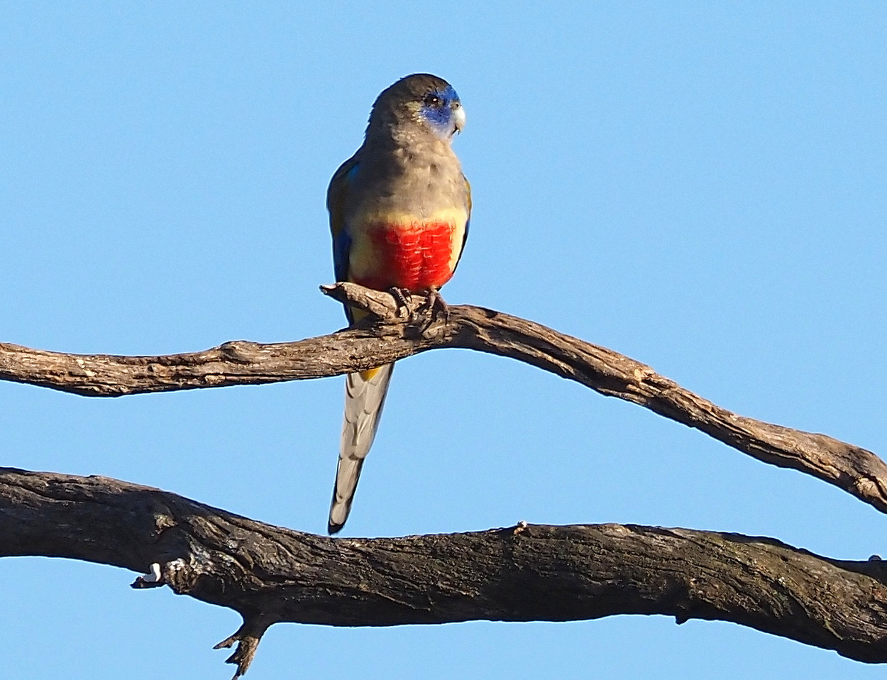
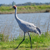
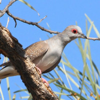
Most of the time Clayton River has a dry sandy bed, but after rain it can flow and briefly transform the surrounding country. After local rains, the pools that linger in the channel can attract nomadic species. Flocks of Budgerigar, Australian Zebra Finch, Crimson Chat, Orange Chat, as well as raptors that follow the smaller birds. If the flow is strong enough to hold water for a while, you might also see Black-fronted Dotterel, Red-kneed Dotterel, and even Black-tailed Nativehen turning up in surprising numbers. Other birds that can be observed include Greater Bluebonnet, Brolga, Black-faced Cuckooshrike, White-winged Fairywren, Rufous Songlark, Black-faced Woodswallow, White-breasted Woodswallow, Diamond Dove, Little Eagle and Wedge-tailed Eagle.
Detalhes
Acesso
Clayton Crossing is located along the Birdsville Track, between Marree and Birdsville in the South Australian outback, about 54 km north-east of Marree. Clayton Wetlands Campsite and Clayton Station offer a stopover with camping, toilets, showers, and a hot artesian spa bath. Press P on the map for directions. It is easy to explore the surroundings on foot or by car.

 ) para inserir nomes de aves no seu idioma. Os nomes das aves serão traduzidos automaticamente para outros utilizadores!