
Opis
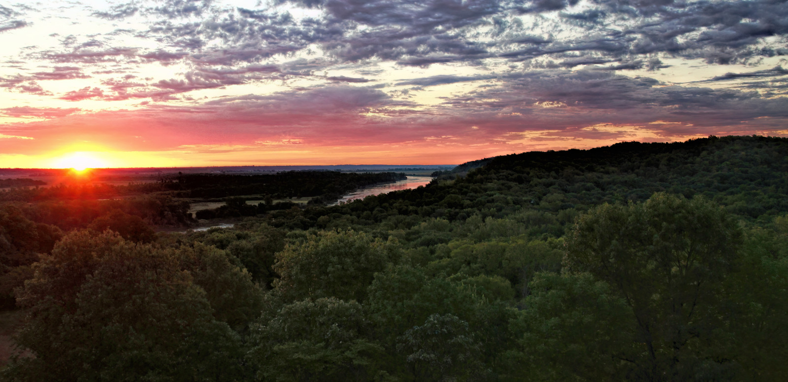
Named for the large sandstone cave within the park, Indian Cave State Park encompasses 3,052 rugged acres bordering the Missouri River. The park boasts sweeping views of wide, winding Missouri river and diverse wooded habitats. The park is mostly mature forest, with some grasslands and has 22 miles of hiking trails. An observation deck along the scenic One Way Road overlooks the Missouri River.
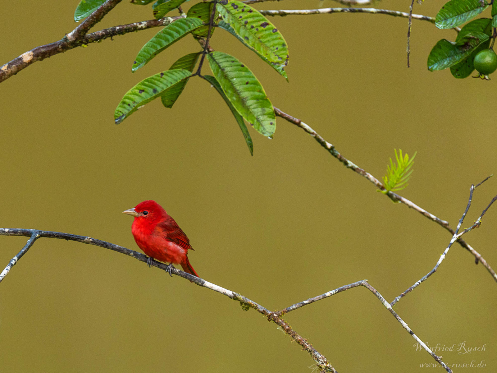
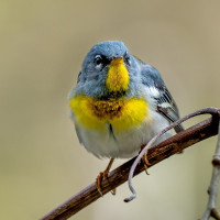
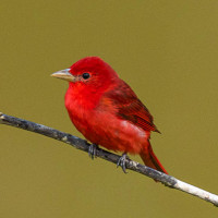
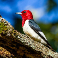
Kentucky Warbler, Summer Tanager, Scarlet Tanager, Pileated Woodpecker, American Redstart, Northern Waterthrush, Northern Parula, Chuck-will’s-widow and Acadian Flycatchers are some of the special birds that can be seen.
Szczegóły
Dostęp
Indian Cave State Park lies ten miles (16 km) south of Brownville and eight miles (13 km) east of Shubert, straddling the county line between Nemaha and Richardson counties. Click on a P in the map for directions or coordinates. The park requires a Nebraska State Park Pass (see for more info the link below). The park includes camping facilities for multiple day visits.
You can enjoy the park by driving around or hiking the trails. There is a scenic One Way Road surrounded by wooded areas and an observation area that overlooks the Missouri River. There is also 8 trails ranging from easy to moderate. The trails range from 1/2 mile to seven miles. A number of trails are interlaced so a hiker can continue for many miles without having to go from trail head to trail head.

 ) aby wstawić nazwy ptaków w swoim języku ojczystym. Nazwy ptaków zostaną automatycznie przetłumaczone dla innych użytkowników!