
Opis
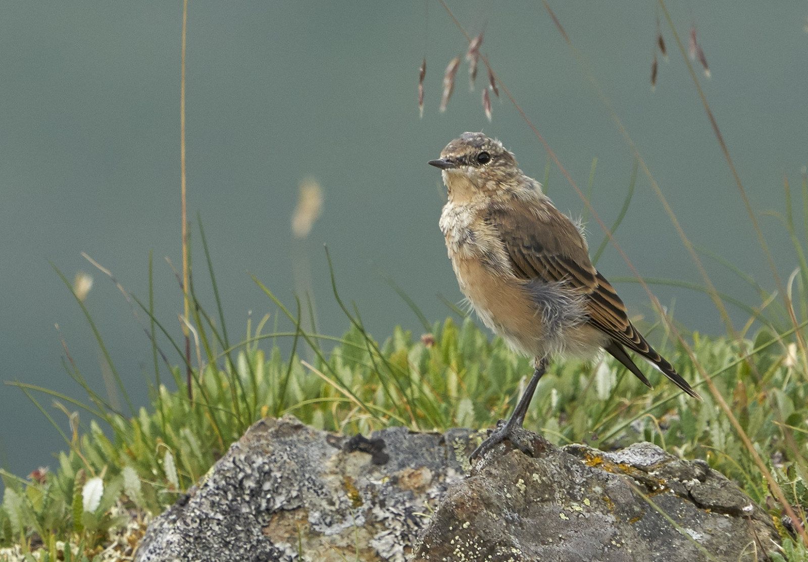
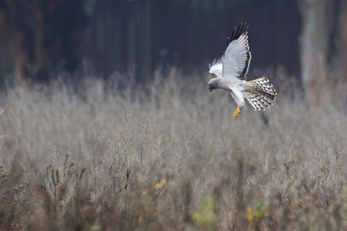
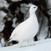
Denali National Park is centered on Denali, the highest mountain in North America. The park and contiguous preserve encompass 9,446 sq miles (24,464 km2) which is larger than the state of New Hampshire. Denali's landscape is a mix of forest at the lowest elevations, including deciduous taiga, with tundra at middle elevations, and glaciers, snow, and bare rock at the highest elevations. At Eielson Visitor Center you can walk the Tundra Loop: around a third of a mile through alpine country, very close to the visitor center. A spur trail leads an additional quarter of a mile, one-way, off the Tundra Loop. On a clear day, the entire area offers magnificent views of Denali. Among the birds you can encounter are Golden Eagle, Willow Ptarmigan, Rock Ptarmigan, Spruce Grouse, American Golden Plover, Surfbird, Long-tailed Skua, Northern Harrier, Canada Jay and Bald Eagle.
Szczegóły
Dostęp
The park is serviced by the 92-mile (148 km) long Denali Park Road, which begins at the George Parks Highway and continues to the west, ending at Kantishna. Located 1 mile (1.6 km) within the park, the Denali Bus Depot (which houses a small gift shop, a coffee stand, and an information desk) is the main location to arrange a bus trip into the park or reserve/check-in for a campground site. All shuttle buses depart from here, as do some tours. The Denali Visitor Center is at mile marker 1.5 on the park road and is the main source of visitor information. Located at mile 66, you can reach Eielson Visitor Center by any shuttle bus traveling to Eielson or beyond.


 ) aby wstawić nazwy ptaków w swoim języku ojczystym. Nazwy ptaków zostaną automatycznie przetłumaczone dla innych użytkowników!