

Opis
With Torquay and Paignton being the busiest coastal summer holiday destination in Devon, a visit early morning or outside the holiday season may be best, there is a choice of two car park starting points.
(*1), press STAR on map. In Watcombe from the car park (free - at time of writing), head into the woodland in The Valley of Rocks (not to be confused with The Valley of Rocks in North Devon), look for zniczek (very common here), modraszka, bogatka (zwyczajna), kowalik, pełzacz leśny and the short 'Kee-Kee-Kee-Kee' call of numerous dzięcioł duży. In Summer kapturka and pierwiosnek can be expected (occasionally they overwinter).
(*2). Turn slightly inland walking The John Musgrave Heritage Trail along a tree lined wide path with fields on both sides, listen out for the songflight of skowronek. piecuszek (Summer) and pierwiosnek and kapturka are numerous, with dymówka hunting over the surrounding fields.
(*3). Head North from Maidencombe, the car park here (fee payable - note height restriction barrier), towards more hedge and tree lined fields, the speciality bird here is the cierlik, gradually spreading along the coast from it's stronghold at RSPB Labrador Bay (see separate entry) just to the North. Expect more skowronek and possible pustułka (zwyczajna) along with more common passerines.
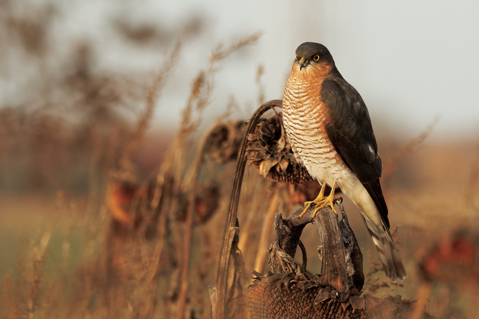
(*4). After heading East for the coastline continue South along The South West Coast Path, best described as being undulating and challenging in places with some steep sections with steps. The typical South Devon red soil here can be slippery and muddy in places, suitable footwear is advised following periods of rain. makolągwa, czyż, kląskawka and dzwoniec are very common along this section. In infrequent gaps in the pathside trees and scrubland, depending on season views of the sea can give lodowiec, markaczka, głuptak, nurzyk, fulmar and the occasional sokół wędrowny.
Szczegóły
Dostęp
The A379 road from Torquay (to the South) to Shaldon/Teignmouth (to the North) runs just inland from the site, unfortunately the road signs to the two car parks from the A379 are non existent, therefore press P's on map for directions. The circular walk indicated on the map is about 5 km.


 ) aby wstawić nazwy ptaków w swoim języku ojczystym. Nazwy ptaków zostaną automatycznie przetłumaczone dla innych użytkowników!