

Opis
Noss Mayo is a small village just inland of the coast of South West Devon, on it's Northern edge is Newton Creek an Eastern arm of the Yealm Estuary. On the coast to the South East is Stoke Point, the long distance South West Coast Path runs West from the Point towards the River Yealm Estuary, giving views of the English Channel to the South. The area has a variety of habitats including farmland, village, woodland and estuary as well as the coastal walk. There are numerous starting points with both long and short routes available, the starting points are well served by a number of car parking options (see P's on map and press STARS for more information).
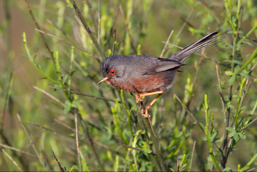
The area is well known for sightings of cierlik and pokrzewka kasztanowata on land with głuptak frequently seen offshore especially with onshore winds. During Spring/Summer/Autumn be sure to check out Brookings Down Wood and Eastern Hill Wood for Passerines. During Autumn/Winter/Spring be sure to check out Estuary as many birds shelter here especially during stormy weather.
Szczegóły
Dostęp
The main A379 runs between Plymouth (to the West) and Kingsbridge (to the East), depending on direction of travel on arriving at the large village of Yealmpton turn South onto the B3186 signed Newton Ferrers/Noss Mayo, continue on this B3186 to Noss Mayo.
Teren i siedlisko
Las , Rzadkie drzewa i krzewy , Łąka , Rzeka , Morze , Miasto/wieś , Rolnictwo/uprawy , PlażaWarunki
Płaski , Otwarty krajobrazTrasa dookoła
TakCzy luneta będzie przydatna ?
TakUdany sezon obserwacyjny
Przez cały rokNajlepszy czas na wizytę
Jesienne migracje , Wiosenne migracje , Lato , Jesień , Wiosna , ZimaTrasa
Droga utwardzona , Szeroka ścieżka , Droga nieutwardzona , Wąski szlakPoziom trudności szlaku pieszego
Średnio wymagający spacerDostępne
Pieszo , Rower , SamochódCzatownia/platforma obserwacyjna
NieDodatkowe informacje
Further to the West is Wembury Point (see separate entry), for another cierlik hot spot.


 ) aby wstawić nazwy ptaków w swoim języku ojczystym. Nazwy ptaków zostaną automatycznie przetłumaczone dla innych użytkowników!