Opis
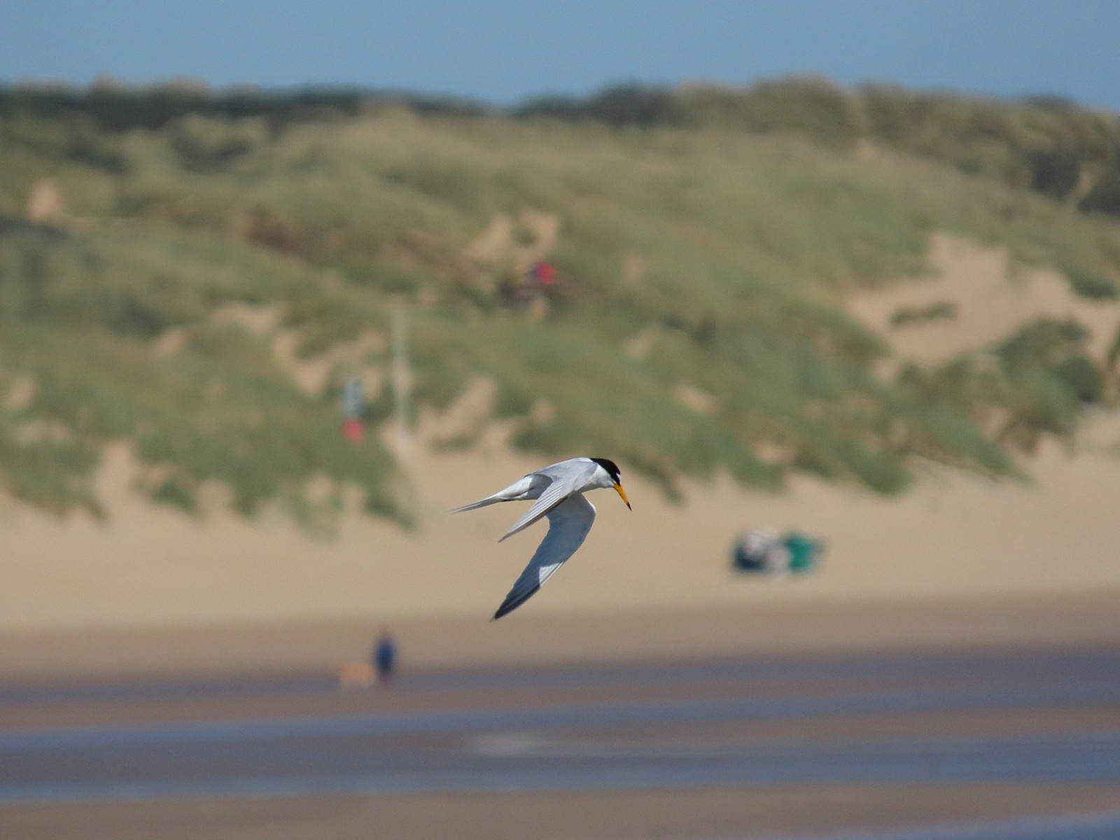
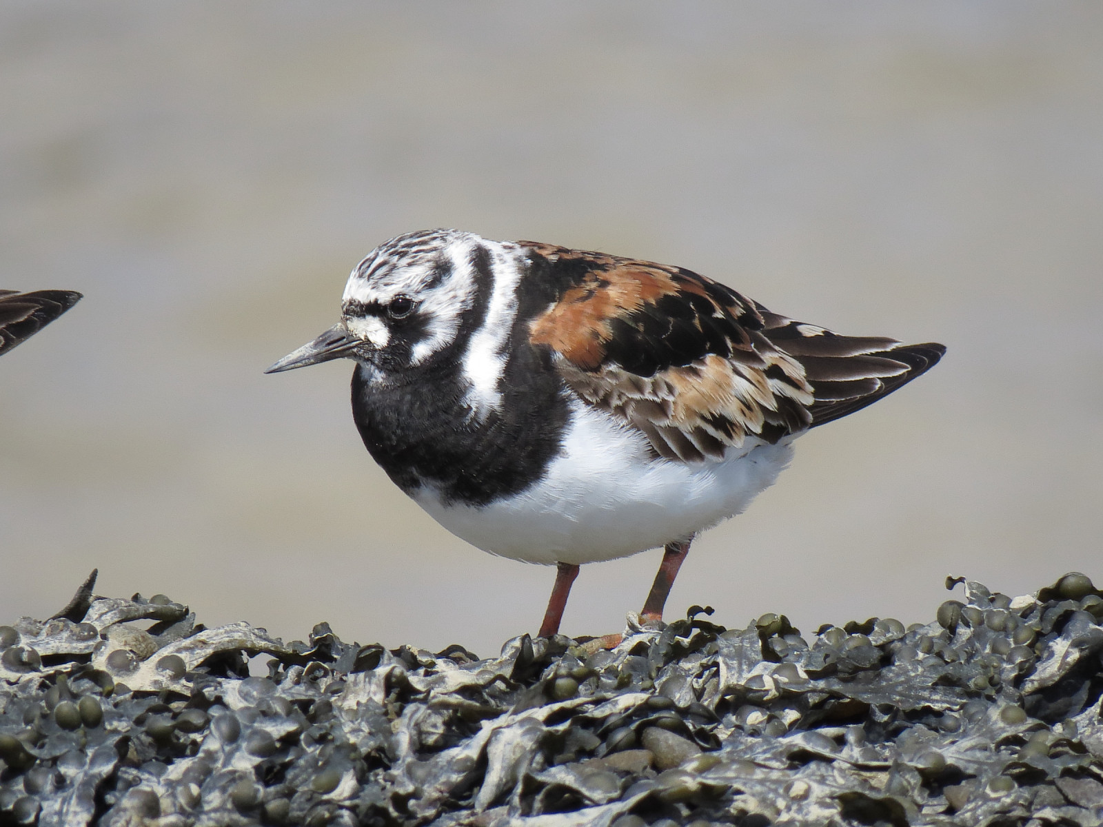
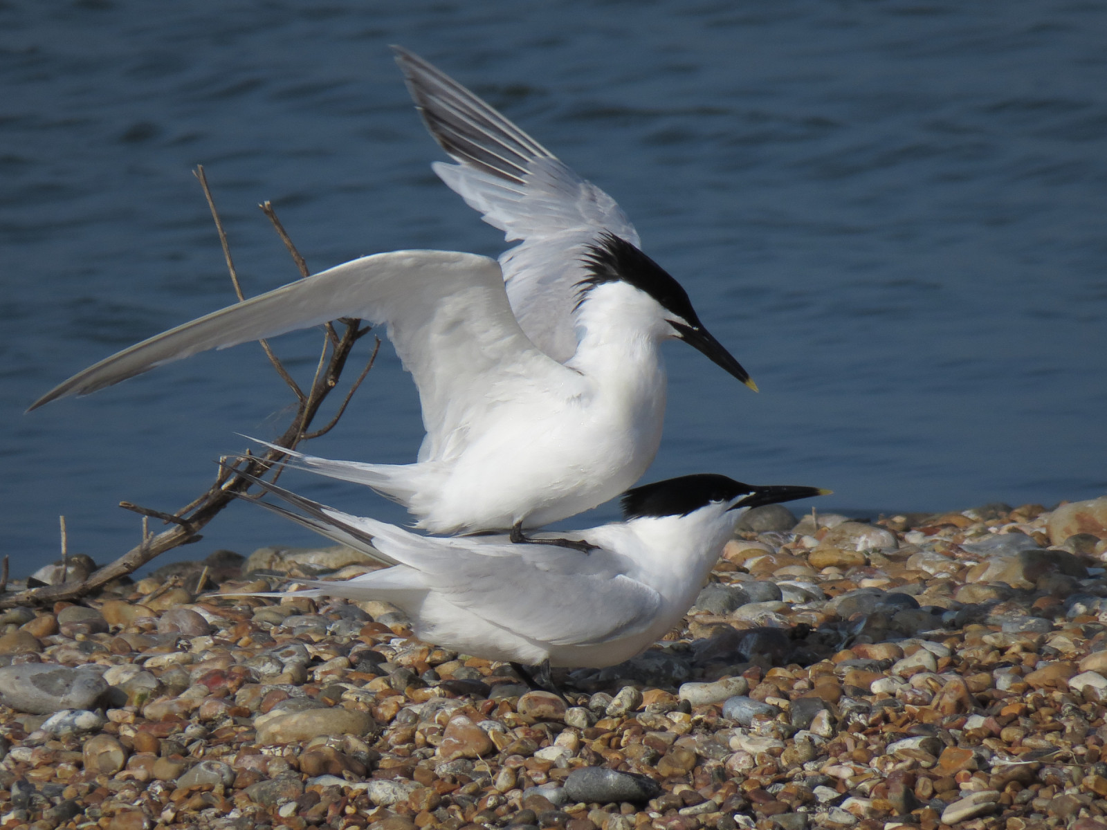
Rye Harbour is most famous for its bird life and in particular its breeding colonies of rybitwa białoczelna, rybitwa rzeczna and rybitwa czubata. In recent years the populations of these terns and other ground nesting birds (such as sieweczka obrożna, szablodziób, ostrygojad, krwawodziób, czajka, and białorzytka) have increased in number and breeding success. This has been achieved through careful habitat management and implementing conservation measures such as the erection of electric fencing enclosures (to deter fox and badger) and a team of voluntary wardens. So far more than 280 species of birds have been recorded on the Reserve, of which over 90 have nested. Apart from the interest of the breeding birds, Rye Harbour is also a good place to observe bird migration, while in winter large numbers of wildfowl and waders gather to take full advantage of the relatively undisturbed Reserve area.
Szczegóły
Dostęp
East access by car with free parking at Rye Harbour TN31 7TX. Try visiting using public transport and perhaps bring a bike to explore the whole reserve and wider area. Rye is only 68 minutes from London and 100 minutes from Brighton by train.
You can enjoy birds all day and every day along many miles of path with five birdwatching hides accessible to wheelchairs and mobility scooters. On the map you see a 4,5 km walk, but there are many different paths you can explore.
Teren i siedlisko
Tereny podmokłe , Plaża , Morze , TrzcinowiskaWarunki
Płaski , Otwarty krajobrazTrasa dookoła
TakCzy luneta będzie przydatna ?
TakUdany sezon obserwacyjny
Przez cały rokNajlepszy czas na wizytę
Wiosenne migracje , Jesienne migracjeTrasa
Szeroka ścieżkaPoziom trudności szlaku pieszego
ŁatwyDostępne
Pieszo , RowerCzatownia/platforma obserwacyjna
TakDodatkowe informacje
The Local Nature Reserve at Rye Harbour was established in 1970 by East Sussex County Council under the National Parks and Access to the Countryside Act of 1949. In 2011 the management responsibilities were transferred to the Sussex Wildlife Trust. The 465 hectares (1149 acres) are generally flat and low lying with no natural feature above 6m. and entirely within the Dungeness, Romney Marsh and Rye Bay SSSI (9,137ha.). The high points are the crests of shingle storm ridges built up over hundreds of years by the combined action of tides and storms. The low points are the sheltered areas between the ridges where saltmarsh developed on the regularly inundated land.Discover UK wildlife in a mosaic of coastal habitats - shingle, saltmarsh, saline lagoons, coastal grazing marsh, freshwater gravel pits and reedbeds. Explore its changing coastline and military history, or simply enjoy a walk beside the sea.


 ) aby wstawić nazwy ptaków w swoim języku ojczystym. Nazwy ptaków zostaną automatycznie przetłumaczone dla innych użytkowników!