
Opis
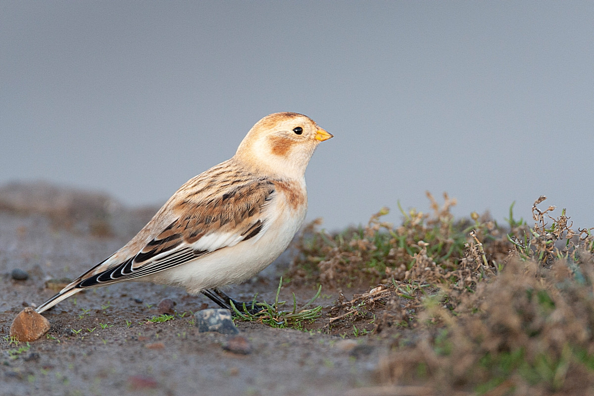
Pendle Hill is an isolated hill in the Pennines, separated from the South Pennines to the east, the Bowland Fells to the northwest, and the West Pennine Moors to the south. Its summit is 557 metres. The hill is famous for its links to the Pendle witch trials, Britain’s biggest witchcraft Trial in the 17th century. You can see many seasonal bird passing like drozd obrożny, śnieguła and mornel and a variety of all year round favourites. Spring passage is the best period. Peak numbers usually occur the last week in April and first ten days of May.
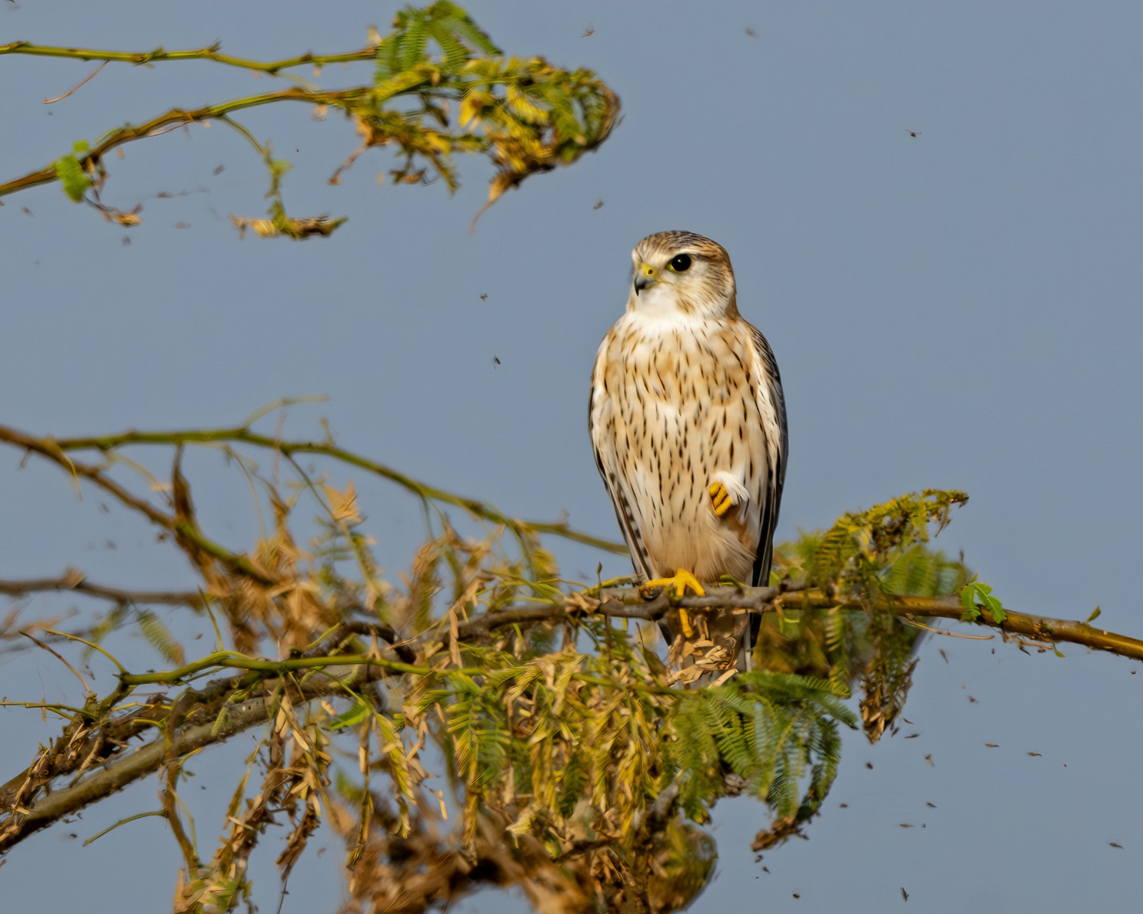
Species seen regularly throughout the year include Pardwa mszarna, kuropatwa, pójdźka, kruk, sokół wędrowny, drzemlik, kulik wielki, skowronek, płomykówka (zwyczajna) and świergotek łąkowy.
Szczegóły
Dostęp
Pendle Hill is in the east of Lancashire, near the towns of Burnley, Nelson, Colne, Brierfield, Clitheroe and Padiham. The best approaches by road are via the A682 and then Roughlee and Barley from junction 13 of the M65 or via Chatburn and Downham from the A59. You can park either in the car park across from the Pendle Inn. Or sometimes there is space nearer to the foot of the hill. Click on the P in the map for directions.
The circular walk indicated on the map is about 2,5 mile (4 km). The climb to the summit is fairly strenuous and bitterly cold during winter months. Appropriate footware and clothing should be worn.


 ) aby wstawić nazwy ptaków w swoim języku ojczystym. Nazwy ptaków zostaną automatycznie przetłumaczone dla innych użytkowników!