Opis
Loch Stiapabhat is a large, nutrient-rich and shallow loch. The loch has an estimated maximum depth of 5m, and is 7m above average sea level, covering an area of around 2.5 hectares. It is rich in nutrients due to the underlying calcareous sand and surface drainage from the surrounding crofts. It has been designated as a Site of Special Scientific Interest (SSSI) and in 2005, it was declared a Local Nature Reserve - the only one in the Western Isles. You can view the area from a bird hide.
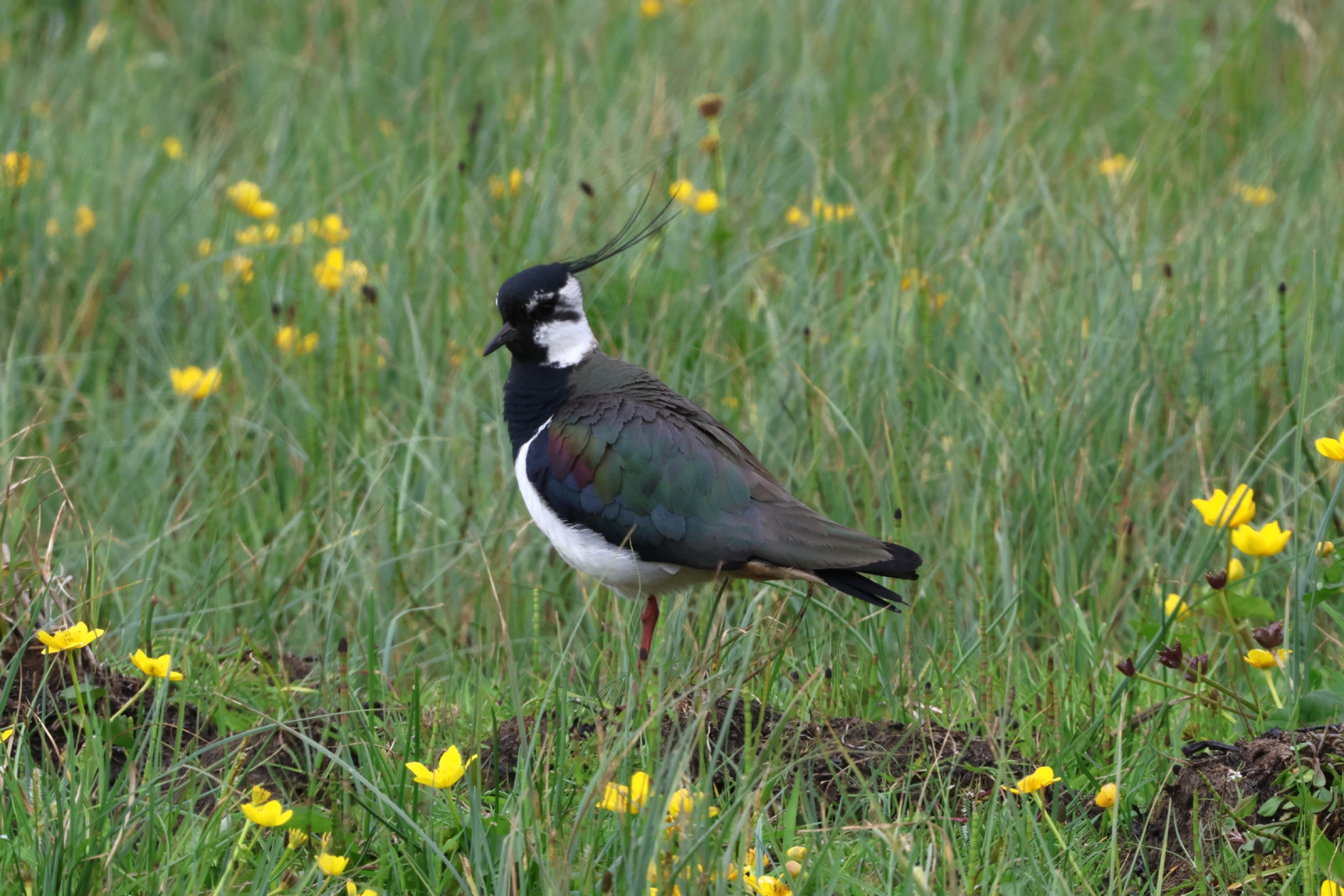
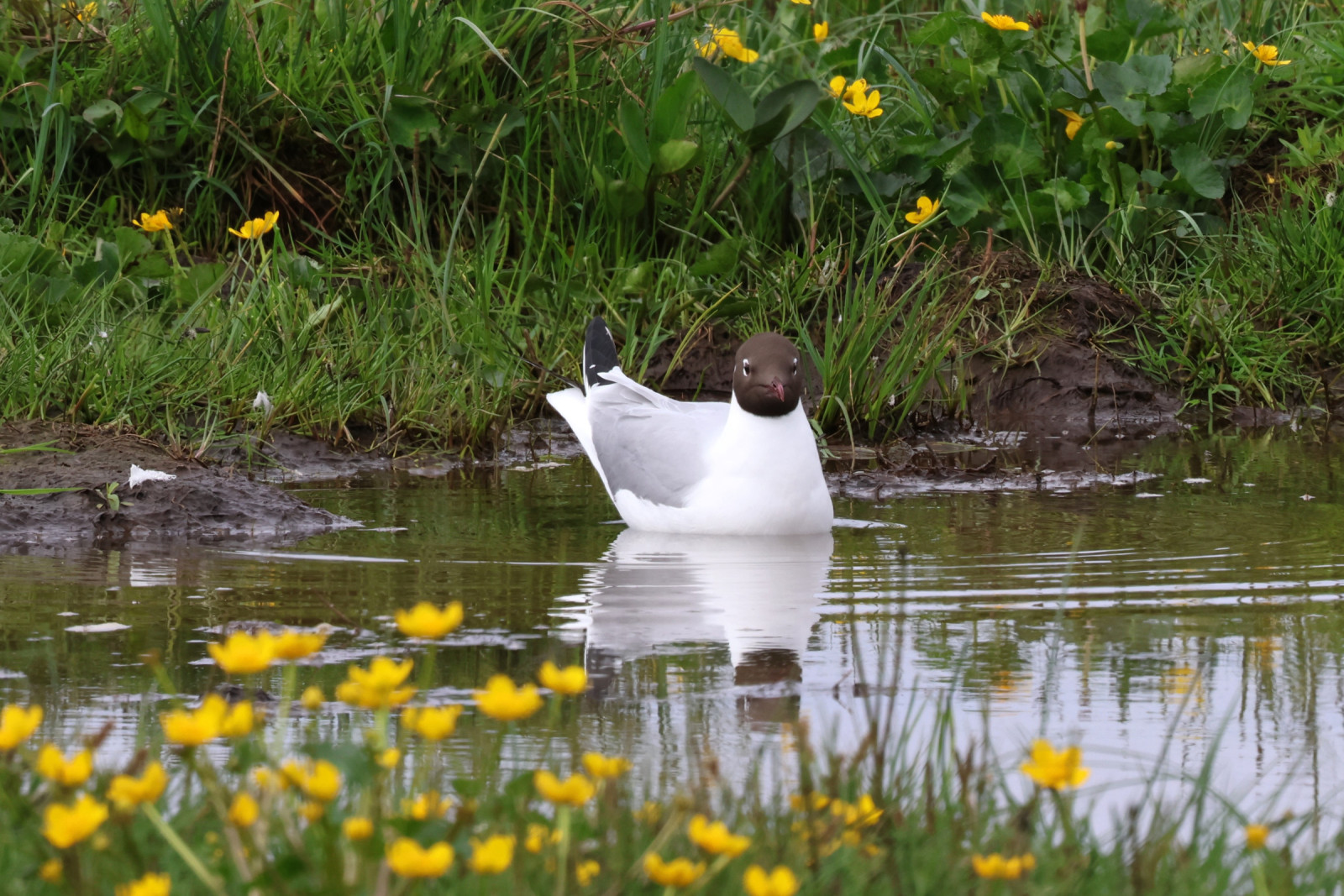
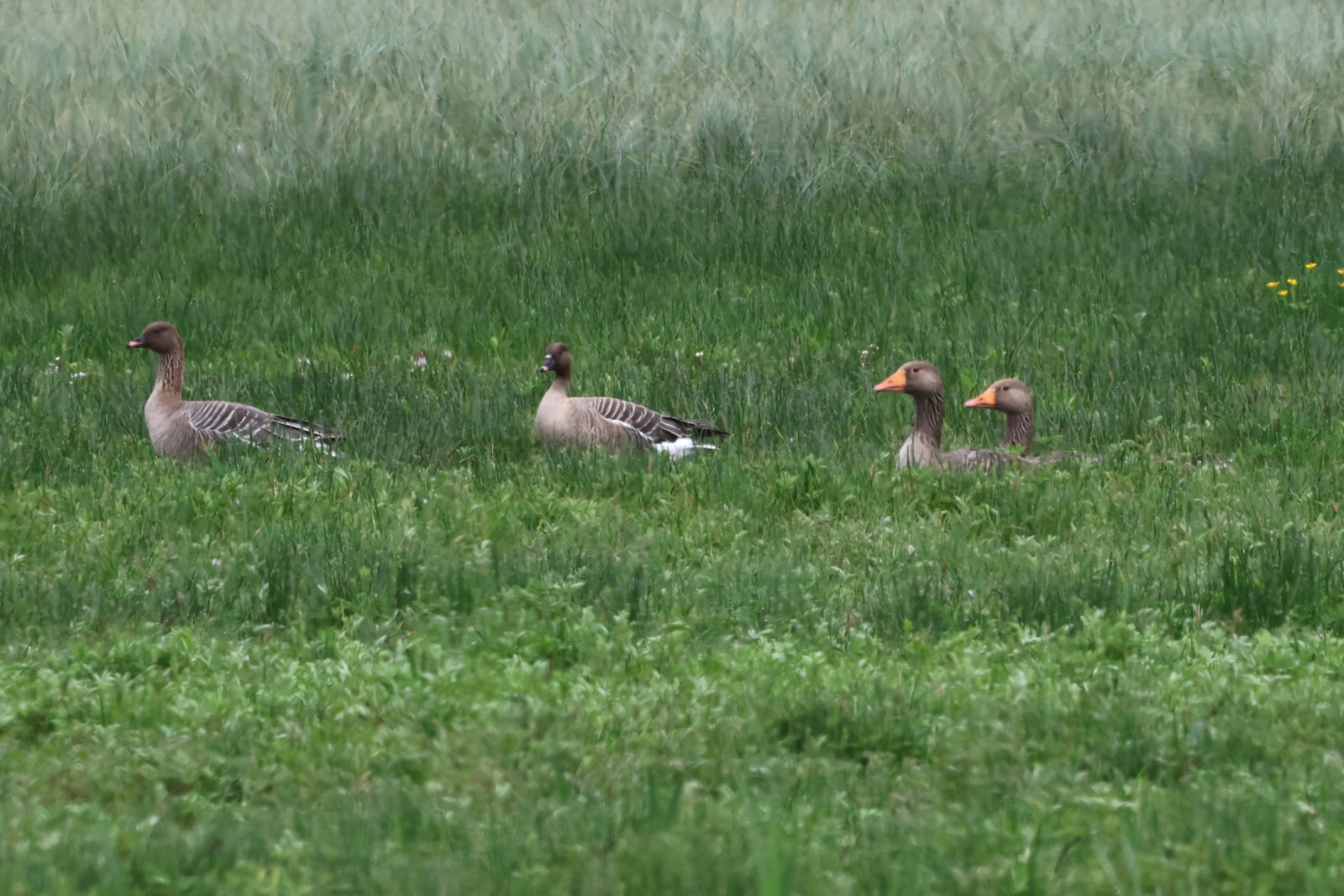
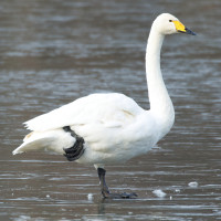
Loch Stiapabhat is an important feeding stop during spring and autumn for a range of rare and interesting species as it lies on the main flyway from and to the Arctic. These include the łabędź krzykliwy and gęś krótkodzioba. It also supports many feeding and nesting birds including those of international importance such as the biegus zmienny, krwawodziób, siewka złota and czajka.
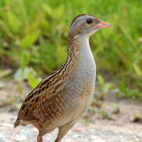
In the summer, the derkacz can be heard calling from the tall vegetation around the Loch which lies within the Ness and Barvas Special Protection Area, created to protect the derkacz. The machair becomes a carpet of colour with birds-foot trefoil, eyebright, clovers and orchids among some of the many wildflowers that can be seen.
Szczegóły
Dostęp
Loch Stiapabhat is located in Ness, in the north west of the Isle of Lewis. Leave Stornoway heading towards Barvas, continue through Barvas north, following signs to the Butt of Lewis along the A857 (25.7 miles). Turn left onto Slighe Naomh Rònain/B8013, arrive at the parking bay for Loch Stiapabhat.
The observatory is located opposite the turning into Lionel School and Spòrsnis in Lionel, North Lewis. The observatory is open all year round (never locked). Parking is available at the junction opposite to the gated entrance to the reserve. Press P on the map for directions.


 ) aby wstawić nazwy ptaków w swoim języku ojczystym. Nazwy ptaków zostaną automatycznie przetłumaczone dla innych użytkowników!