
Opis
The Tamar Valley Area of Outstanding Natural Beauty (AONB) is dominated by the 1,096 foot tall Kit Hill. It is managed by Cornwall County Council and gives spectacular views around the surrounding countryside. Kit Hill was extensively mined in the past for tin and copper, at it's summit is a mine chimney with modern transmitters, there are a number of paths and a horse riding trail. BE AWARE, during the breeding season keep to well worn paths to avoid disturbance. The hill has a number of ancient burial mounds, the highest parts are dominated by Heather (Calluna), Gorse (Ulex) and Bilberry (Vaccinium), the hill is surrounded on most sides by farm fields with hedges and small trees and shrubs.
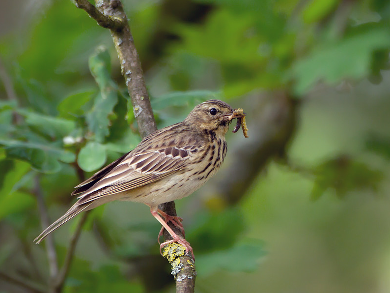
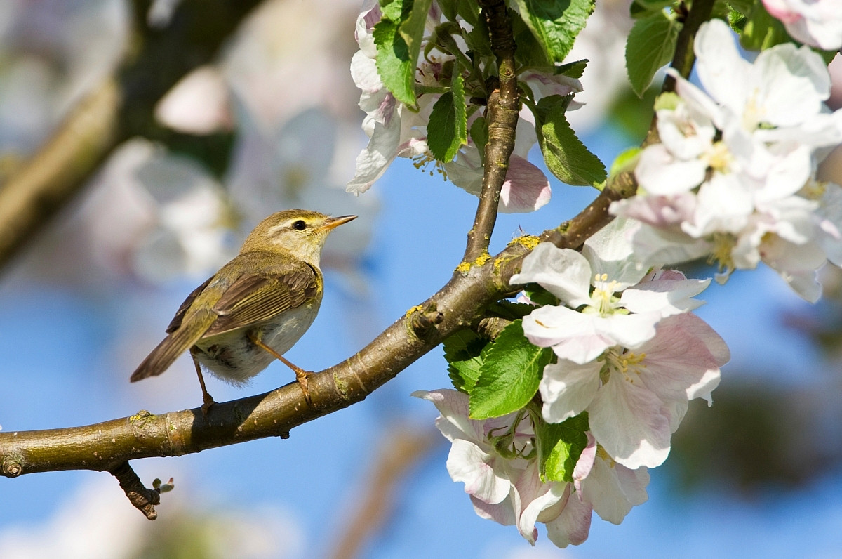
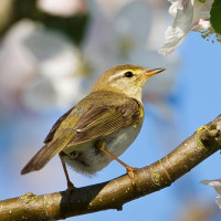
Kit Hill can be busy during the Summer months, having a car park at the summit only increases the amount of visitors. Depending on season the hill has a reasonable bird list. siewka złota can be found, but are often disturbed by visitors. świergotek drzewny, pierwiosnek, piecuszek, mysikrólik and kruk are just some of the birds to be found.
Szczegóły
Dostęp
The A390 main road between Tavistock (far to the East) and Callington (on Kit Hills Western lower slopes), if traveling from Tavistock direction cross the River Tamar on the narrow Gunnislake bridge in the deep valley. After climbing the steep road pass through the small villages of Drakewells and St Ann's Chapel. Continue through farmland on the tree lined road. Approximately 4 miles from Gunnislake take a Right turn signed Kit Hill. (*A) Continue up this climbing road and turn Left at Kit Hill Summit sign, pass through open gate. A car park is immediately on the Left, or continue up to further car parks. From Callington direction follow road signed Tavistock/Gunnislake A390, continue on this road until you see a layby car park on the Left, turn Left at sign for Kit Hill and follow from (*A) above.


 ) aby wstawić nazwy ptaków w swoim języku ojczystym. Nazwy ptaków zostaną automatycznie przetłumaczone dla innych użytkowników!