
Opis
NOTE. This site shares part of the same location but passes over the top of Bedford Bridge - River Walkham (see separate entry), but has a different starting point.
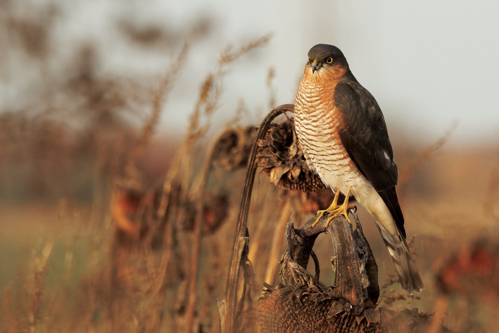
This section of the 21 mile Plymouth to Tavistock Cycle Trail (The Drake's Trail), here running from the large village of Yelverton North Westwards to Grenofen Tunnel (you can continue on to Tavistock by passing through the tunnel). Originally a part of the South Devon and Tavistock Railway, is now a sometimes busy cycling and walking route. Starting at Yelverton beside the now disused WWII RAF Harrowbeer Airfield, first passing along open moorland with trees/bushes and then becoming more heavily wooded nearer the end of the walk. With excellent tree top views from Magpie Bridge and Gem Bridge (Press STARS on map), the route is off road except for a short onroad section at the village of Horrabridge. Depending on season expect to see krogulec, kruk, myszołów, kukułka, paszkot, śpiewak, kapturka, piecuszek, pierwiosnek and mysikrólik.
Szczegóły
Dostęp
If traveling from Plymouth leave Northwards on A386 main road signed Tavistock. On approaching the village of Yelverton (passing Welcome to Yelverton sign) turn Left signed Leg O' Mutton. Take first or second Right into car park (Fee Payable). If traveling from Tavistock on A386 signed Plymouth, after passing through village of Horrabridge continue on and on approaching Yelverton turn Right signed Leg O'Mutton. Continue on this road, the car park is on this road beside the old airfield.


 ) aby wstawić nazwy ptaków w swoim języku ojczystym. Nazwy ptaków zostaną automatycznie przetłumaczone dla innych użytkowników!