

Opis
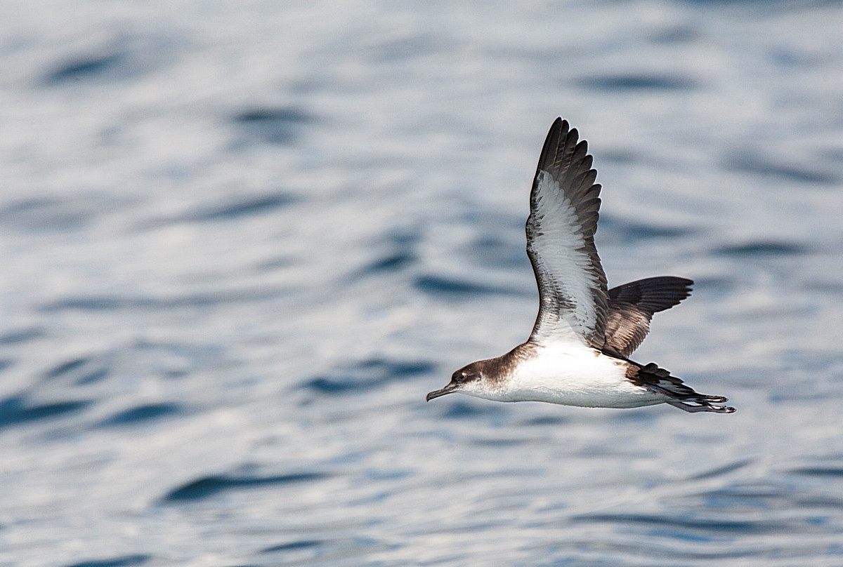
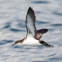
Over 40 years ago this area was little watched, today following sightings of rareties (see Extra Info below) the area is a 'draw' for local birdwatchers, wether seawatching or migrant landbirds.
The small village of Cawsand (Cow Cove in Cornish Language) is within Mount Edgcumbe Park (see separate entry) on the Rame Peninsula. The village has narrow streets with a car park (Fee Payable) on it's Western edge. During Summer a pedestrian ferry service (plymouthboattrips.co.uk) operates from Plymouth Barbican usually Easter to Last Sunday in October, the 30 minute crossing gives you a chance of seeing more marine species. NOTE: the landing at Cawsand beach involves embarking on a removable ramp and trips can be tide dependant.
The route from the car park is by following the Earl's Drive/South West Coast Path, through woodland to Penlee Point (seawatching), where Queen Adelaide's Grotto or Penlee Grotto can give shelter during inclement weather.
Also at Penlee Point is Penlee Battery Nature Reserve, a Cornwall Wildlife Trust reserve. The site was a former Palmerston Fort built in 1890 to defend the approaches to Plymouth Sound, the remains of gun implacements can still be seen on site. One of it's more unusual non avian visitors was the first British sighting of a Green Darner (Anax junius) a North American species of dragonfly (Odonata). The reserve comprises of woodland and coastal grassland where Bee Orchid (Ophrys apifera) can be found flowering in June-July.
Szczegóły
Dostęp
From Plymouth take car/bus/pedestrian ferry to Torpoint, continue on A374 to the small village of Anthony, take Left Fork signed Millbrook/Seaton B3247/Whitsand Bay/Crafthole/Portwrinkle/Cawsand. At next junction turn Left signed Whitsand Bay/Cawsand/Mt Edgcumbe, continue on B3247, at town of Millbrook (road narrows). Continue through town on B3247, eventually turn Right at sign for Rame/Cawsand/Kingsand, follow signs to Cawsand/Whitsand Bay/Rame. In Cawsand road narrows, eventually arriving at car park by turning Left into entrance road.
Teren i siedlisko
Rzadkie drzewa i krzewy , Las , Łąka , Morze , Miasto/wieś , Rolnictwo/uprawy , Plaża , Kanion/klifWarunki
Pagórkowaty , Płaski , Skalisty , Otwarty krajobraz , Ślisko , BagiennyTrasa dookoła
TakCzy luneta będzie przydatna ?
TakUdany sezon obserwacyjny
Przez cały rokNajlepszy czas na wizytę
Jesienne migracje , Jesień , Wiosna , Wiosenne migracje , Zima , LatoTrasa
Droga utwardzona , Szeroka ścieżka , Droga nieutwardzona , Wąski szlakPoziom trudności szlaku pieszego
Średnio wymagający spacerDostępne
Pieszo , Rower , Samochód , ŁódźCzatownia/platforma obserwacyjna
NieDodatkowe informacje
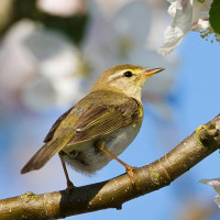
modraczek (zwyczajny), muchołówka mała, kominiarczyk amerykanski, wilsonka mala, trznadelek, świergotek polny, ortolan and kraska, have all been seen in the area.


 ) aby wstawić nazwy ptaków w swoim języku ojczystym. Nazwy ptaków zostaną automatycznie przetłumaczone dla innych użytkowników!