

Opis
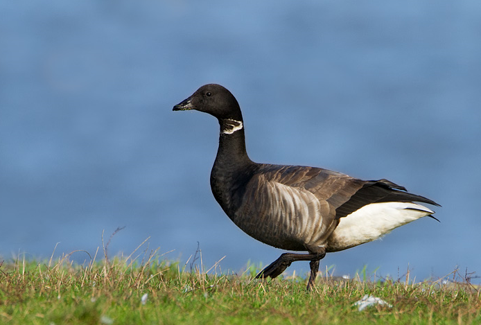
Since the former power station at Fawley was demolished, the area is going through big changes, housing is planned to be built, offset by improved habitats for birds. NOTE during the building and habitat improvements some paths may be temporarily closed or rerouted. The North side of Calshot Spit has extensive saltmarsh and mudflats, to the South of the Spit at low tide is mud mixed with stones. During Winter bernikla obrożna, ohar, świstun, cyraneczka, rożeniec, perkoz dwuczuby, perkozek, szlachar, ostrygojad, sieweczka obrożna, siewnica, rycyk, kulik wielki, biegus zmienny, krwawodziób, kwokacz and brodziec piskliwy are common in various numbers. Landbirds include słowik rdzawy (in small numbers) and good numbers of kląskawka, wierzbówka zwyczajna, potrzos, pokrzewka kasztanowata, świergotek nadmorski and gil. During Summer rokitniczka, trzcinniczek (zwyczajny), piegża are present. For birds feeding on saltmarsh or mudflats a visit 2-3 hours before/after high tide is best (see link to tide table below). The high tide roost is marked on map, press STARS for more information.
Szczegóły
Dostęp
Leave Southampton Westwards on A35, on Totton Bypass. At roundabout take first exit signed Fawley A326, at Dibden roundabout take second exit signed Fawley/Hardly/Dibden Purlieu/Superstore A326, at next roundabout take second exit signed Fawley/Holbury/Hardly/Dibden Purlieu A326. At Dibden Purlieu roundabout take second exit signed Fawley/Hardly/Holbury A326, at Hardly roundabout take third exit signed Fawley/Blackfield/Holbury A326. At next roundabout take first exit signed Calshot/Fawley B3053, continue on B3053 road, on passing through Calshot (BE AWARE OF ONE WAY ROADS). On approaching beach road (called Jack Maynard Road) turn Left, continue on this road with beach huts, car park (Fee Payable) is on the Right.


 ) aby wstawić nazwy ptaków w swoim języku ojczystym. Nazwy ptaków zostaną automatycznie przetłumaczone dla innych użytkowników!