Opis
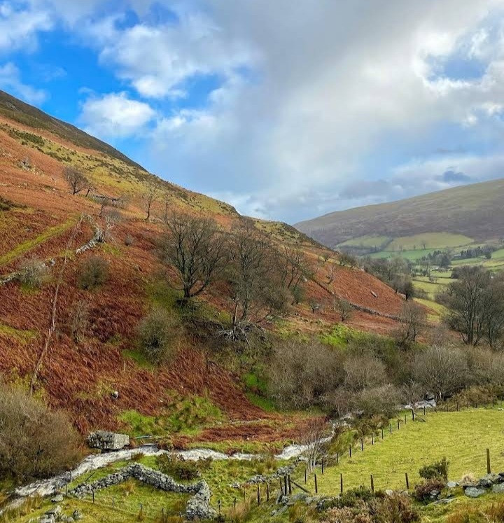
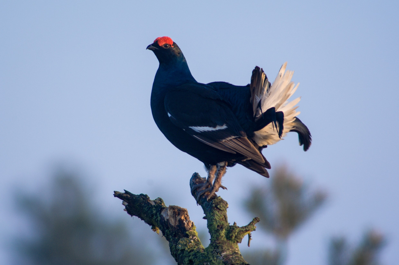
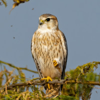
The Berwyn mountains is an isolated and sparsely populated area of moorland in the northeast of Wales. The area supports substantial populations of upland birds including raptors such as błotniak zbożowy, drzemlik, sokół wędrowny, uszatka błotna, kląskawka, pokląskwa, siewka złota, kszyk, kulik wielki, czajka, drozd obrożny, Pardwa mszarna, cietrzew and more. The Berwyn mountains National Nature Reserve also harbours polecat and otter.
Szczegóły
Dostęp
Berwyn mountains has several access points:
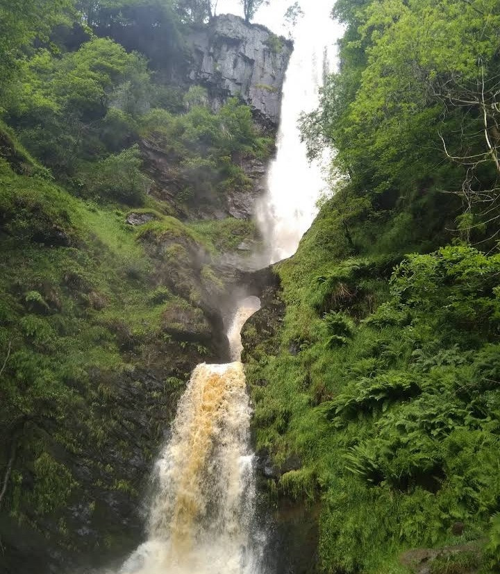
1. Pistyll Ryayader waterfall. From Welshpool take the A490 which passes through Llanfyllin and then look out for a right hand-turn onto the B4391, which will take you to the small village of Llanrhaeadr-ym-Mochnant. From the village take the turn signed to the Waterfall and continue up a steep and very narrow lane with occasional passing places until you reach the car park at the end of the road. There are a café and public toilets. Cars can be parked adjacent to the café on a 'pay and display' basis.
2. Llandrillo; From Bala take the A494 towards Corwen and then turn right almost immediately onto the B4401 towards the village of Llandrillo. In Llandrillo turn right just after the humpback bridge into Heol Y Berwyn (Berwyn Street) and park as soon as you can. From here you can walk up the hill and into Y Berwyn National Nature Reserve. Do not attempt to take your car any further up the hill as the road soon becomes a very rough and rutted track.
3. Hendwr; From Bala take the A494 towards Corwen and then turn right almost immediately onto the B4401 towards Llandrillo. Continue through Llandrillo on the B4401 towards Corwen, and after approximately 1.5km (one mile) you will see a sign on the left-hand side of the road for Hendwr Caravan Site. Turn right immediately opposite the entrance to the caravan site. There is a post box on the right hand side of the lane as you turn, and this is a useful landmark. Continue up the hill for approximately 3/4km (half a mile). There is a parking area from which you can then walk up onto the mountain.
The walking route shown from Llandrillo is 12 km/7.5 miles, the route from Pistyll Rhaeadr is 6.5 km/4 miles. It is best not to stray off the recognised paths. To reach the highest areas, wear stout boots, waterproof clothing, carry food, water, map, compass, charged mobile phone, and check the local weather forescast.


 ) aby wstawić nazwy ptaków w swoim języku ojczystym. Nazwy ptaków zostaną automatycznie przetłumaczone dla innych użytkowników!